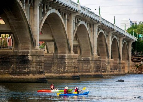
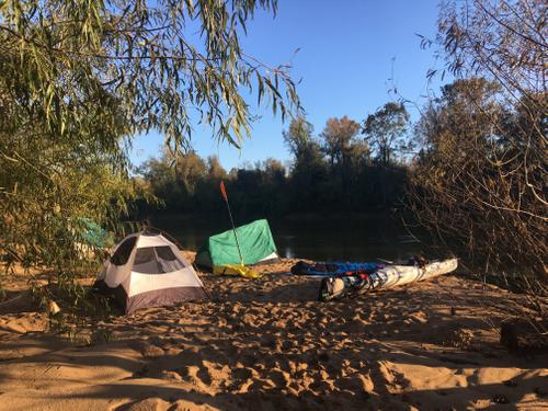
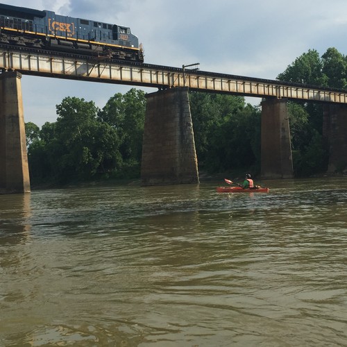
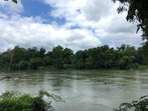
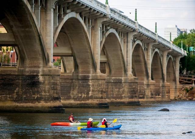
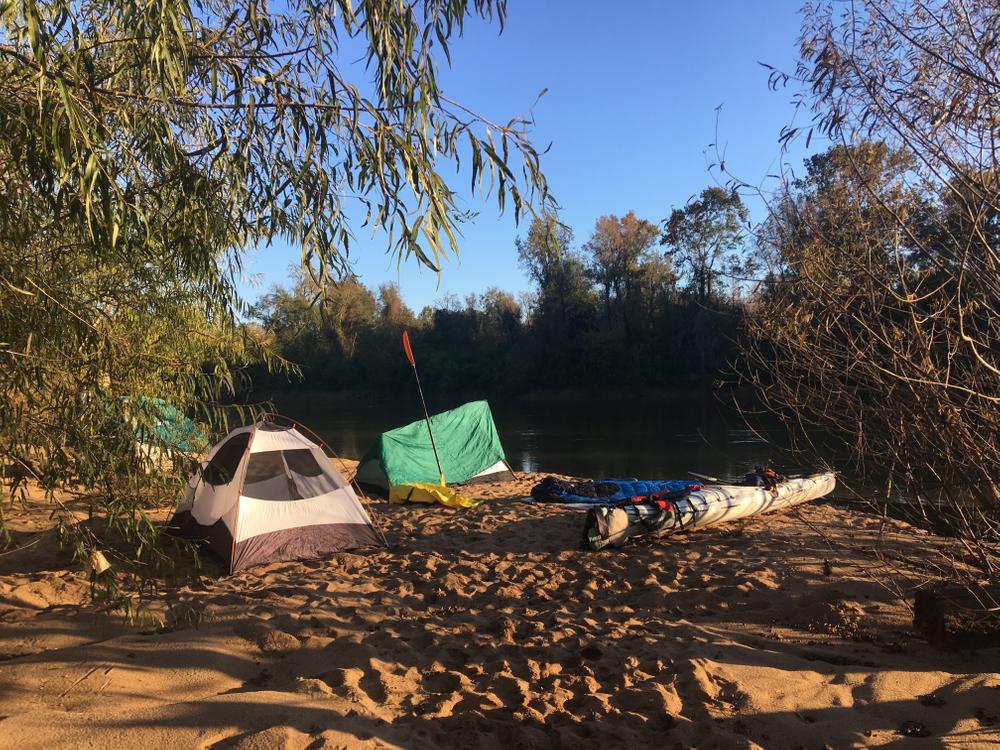
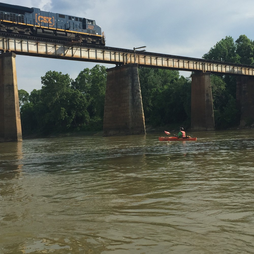
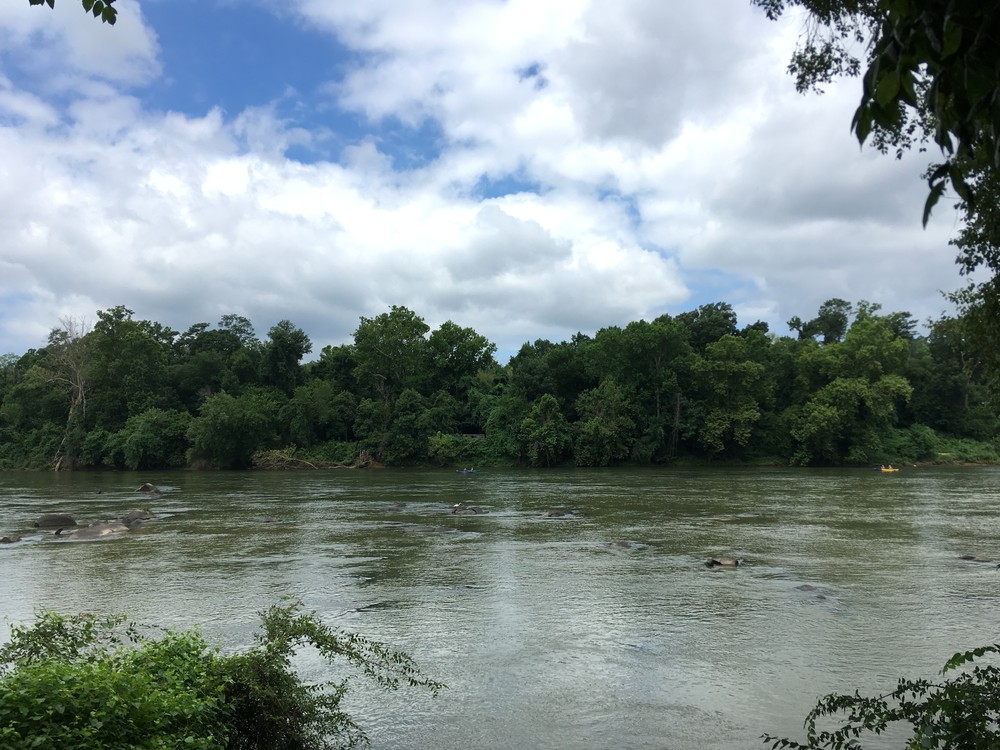
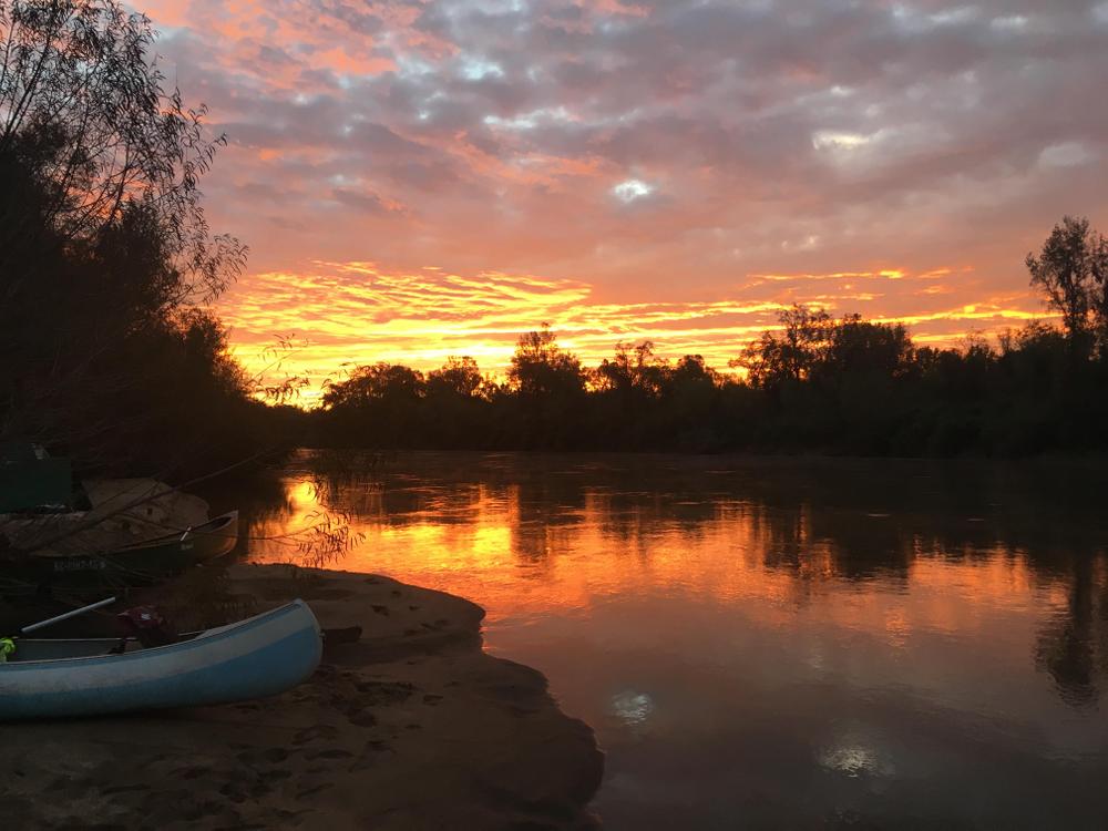
The Congaree River is formed by the confluence of the Saluda River and the Broad River in downtown Columbia. It is a large and impressive river that offers a variety of paddling opportunities. As the Congaree makes its way past downtown Columbia, it descends the fall-line over shoals and small rapids. As the Congaree flows southeast out of sight of downtown, it begins to meander and takes the form of a large coastal plain river. Once you have passed Thomas Newman Landing in Cayce, there is not another access to the Congaree River for approximately 46 miles. The paddler will float past large sand bars, high river bluffs, and vast floodplains as they approach Congaree National Park. The Congaree River can be accessed from Congaree National Park via paddling down Cedar Creek. The Congaree River joins the Wateree River to form the Santee River. Soon after this confluence, the Santee River begins to flood as it enters the backwaters of Lake Marion.
The Congaree River Blue Trail is a project led by American Rivers that produced a map and guide to a water trail that extends from launch sites in West Columbia to Bates Landing at the Highway 601Bridge crossing.
Be sure to visit the Congaree National Park website for more information resources about the river and the wonderful National Park!
Adjacent Waterways: upstream, Lower Saluda River and Broad River; on stream, Congaree Creek and Cedar Creek; and downstream, Wateree River and Santee River into Lake Marion.
Featured trips for this waterway showing difficulty (circles) and current runnability status (squares). .