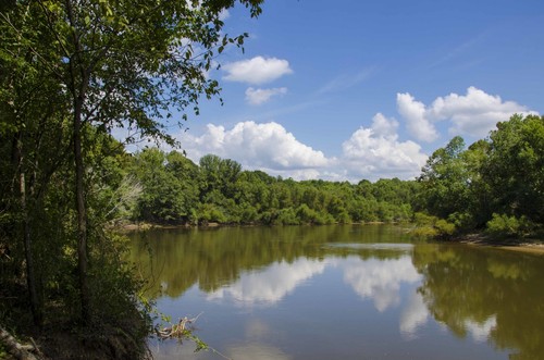
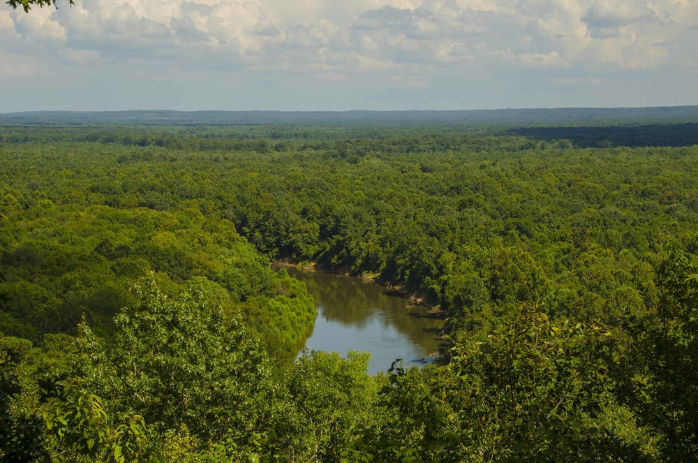
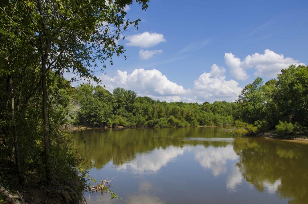
The Wateree River is the continuation of the Catawba River system located downstream of Lake Wateree. Paddling the first 8 miles of the Wateree will take you across small shoals as you descend the fall-line. Near Camden, the Wateree turns into a meandering coastal plain river with large floodplains. The Wateree is relatively undeveloped providing opportunities for remote paddling experiences.
Public boating access sites are few in number on the Wateree River: there is one boat launch just below Lake Wateree Dam, two in the vicinity of Camden, and one at the US Hwy 76/378 Bridge. For those wanting to travel the Wateree River downstream from US Hwy 76/378, there is a boat launch on the Congaree River (Bates Landing at US Hwy 601 Bridge) two-miles upstream from where the Wateree and Congaree converge to form the Santee River. Other options are located twelve-miles downstream on the Santee River and into the backwaters of Lake Marion; see launch sites on Lake Marion.
Adjacent Waterways: upstream, Lake Wateree; downstream, Congaree River and Santee River into Lake Marion.
Featured trips for this waterway showing difficulty (circles) and current runnability status (squares). .


