Paddle SC
Camping Fee Required Handicap Accesible Parking- Dedicated Lot Roadside Parking Restrooms / Toilets

Wateree River: Tolar Boat Ramp to US 601 (Congaree River)

Scroll down for more details
Legend
Hide All

Wateree River: Tolar Boat Ramp to US 601 (Congaree River)

Skill Level: Moderate
Loading 
Rapids: None
Length: 32.00 miles
Duration: 10 - 15 hours
Portaging: No
What to Expect

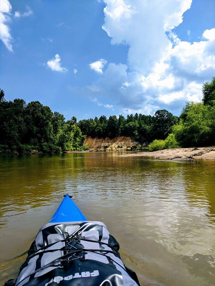
The Wateree River provides excellent opportunities for solitude on the river. Twist along the eastern bluff of the valley with the vast Wateree River floodplain to the west. 

Access
Put in:
Tolar Boat Ramp (US 378/76)
Access Details

Paved parking lot and two lane boat ramp with dock

Take out:
Bates Bridge Landing
Access Details

Paved parking lot and two lane boat ramp with dock

Trip Details

This trip would make for a long day trip, but can be enjoyed as a nice overnight trip when the flows are low enough to reveal sand bars along river bends. While the bluffs that the river flows up against are industrially developed in some places, the forested bluffs keep most of the development out of site. The exception is SCE&G's Wateree Station, a coal-fired power plant. The floodplain to the west is vast and undeveloped. Development along this stretch is very little, so you can expect plenty of solitude, especially as you move farther downstream of the boat ramp. 

Along this trip, you will pass the Wateree Section of the Palmetto Trail and Manchester State Forest to the west in the floodplain. Four miles above the confluence with the Congaree, the Wateree River forms the eastern boundary of Congaree National Park (river right). 

Once you reach the Congaree confluence, you will paddle approximately 2 miles upstream to the HWY 601 landing. 

This trip is rated moderate because of the wilderness quality, lack of amenities for emergencies, and the distance between accesses. 

Comments (1)

Please Sign In or Create Account to add your photo to this trip
FRED MENDYKA
Jan 01, 2023 7:44 pm EST
Has anyone done this trip? Wondering about availability of campsites? Is there an outfitter or shuttle service in the area to help coordinate put in/take out/car parking?
Please Sign In or Create Account to add your photo to this trip
Wateree River sandbar and cutbank (Credit: Miles Groff)
Trip Resources
Download map files for your own use. Learn more
River Flow (CFS)
Discharge flow information
CURRENT CFS
Flows for safe padding (cfs)
MINIMUM
--
MAXIMUM
--
X Close
Skill Level
Easy
Moderate
Difficult
Advanced
Learn more
X Close
Flow Level
Runnable
Above Runnable
Below Runnable
No Information
Learn more
X Close
Skill & Flow Level
Easy
Moderate
Difficult
Advanced
Runnable
Above Runnable
Below Runnable
No Information
X Close
Access Amenities
Parking - Dedicated Lot
Parking - Roadside
Restroom / Toilets
Fee Required
Handicap Accessible
Camping
Paddle SC is presented by
Upstate Forever
South Carolina Department of Natural Resources
South Carolina National Heritage Corridor
Rainey Foundation