Paddle SC
Camping Fee Required Handicap Accesible Parking- Dedicated Lot Roadside Parking Restrooms / Toilets

Wateree River: Highway 1 to Tolar Boat Ramp (US 378/76)

Scroll down for more details
Legend
Hide All

Wateree River: Highway 1 to Tolar Boat Ramp (US 378/76)

Skill Level: Moderate
Loading 
Rapids: None
Length: 43.70 miles
Duration: 48 hours
Portaging: No
What to Expect

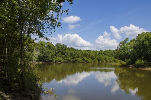
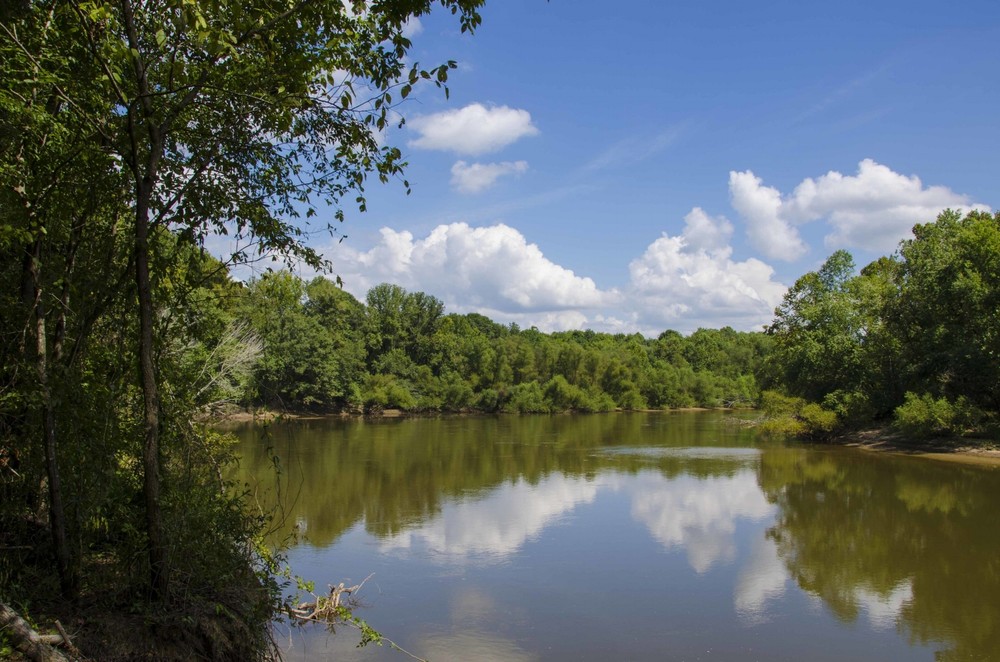
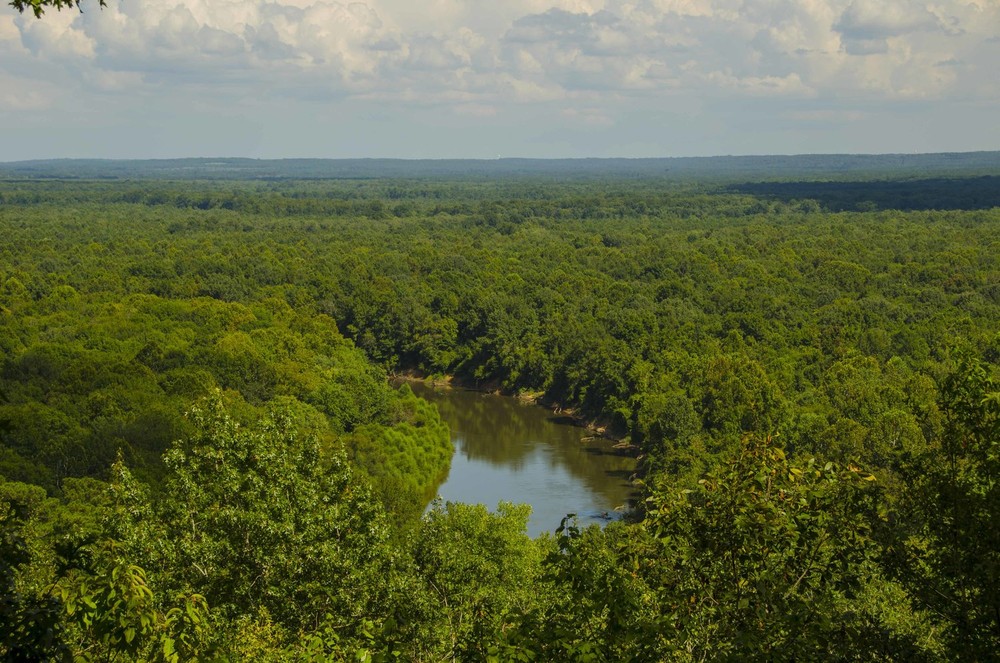
Downstream of the HWY 1 Landing, a paddler will begin a 44 mile trip with little signs of human presence. Once you cross under Interstate 20, the Wateree winds its way through a vast floodplain with a wilderness feeling on the river. This paddle must be completed over multiple days, but the very sinuous Wateree River offers nice sand bars for camping at the right water levels. 

Access
Put in:
U.S. 1 Bridge Access Point
Access Details

Boat ramp under the US 1 / Hwy 601 Bridge in Lugoff, SC. Paved ramp with gravel parking lot.

Take out:
Tolar Boat Ramp (US 378/76)
Access Details

Paved parking lot and two lane boat ramp with dock.

Trip Details

While it's possible to complete this section in two full days of paddling, it's best to take advantage of the sand bars and make a three day trip out of it. Be aware of fluctuating river levels due to precipitation and upstream hydropower operations. If you camp on a sandbar, camp as high on the sandbar as possible and tie down your boat.

Duke Energy's website has more information on hydropower operations upstream on the Wateree River. 

Waterway: 

Comments (3)

Please Sign In or Create Account to add your photo to this trip
David robinson
Jun 16, 2023 12:46 pm EDT
Plan on making this float next month. Saw they are doing bridge maint on 378, but couldn't tell if landing was open. Is Tolar Landing open?
Tripp Clark
Oct 15, 2020 9:27 pm EDT
Is there any available online resource that lists GPS coordinates for legal and suitable campsites along this route?
Kevin Johnson
May 04, 2020 12:10 pm EDT
Any way to break this up into multiple day trips?
Please Sign In or Create Account to add your photo to this trip
(Credit: SCDNR)
View of Wateree River Floodplain from Cooks Mountain.  (Credit: SCDNR)
Trip Resources
Download map files for your own use. Learn more
River Flow (CFS)
Discharge flow information
CURRENT CFS
Flows for safe padding (cfs)
MINIMUM
--
MAXIMUM
--
X Close
Skill Level
Easy
Moderate
Difficult
Advanced
Learn more
X Close
Flow Level
Runnable
Above Runnable
Below Runnable
No Information
Learn more
X Close
Skill & Flow Level
Easy
Moderate
Difficult
Advanced
Runnable
Above Runnable
Below Runnable
No Information
X Close
Access Amenities
Parking - Dedicated Lot
Parking - Roadside
Restroom / Toilets
Fee Required
Handicap Accessible
Camping
Paddle SC is presented by
Upstate Forever
South Carolina Department of Natural Resources
South Carolina National Heritage Corridor
Rainey Foundation