ALERT: Portage trail has changed. See trip description for details.
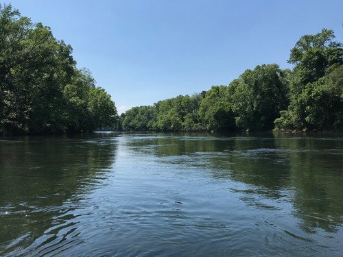
This section of the Lower Saluda Scenic River lets you experience scenic whitewater in the City of Columbia. From the suburbs to downtown, this trip takes you through a series of rapids and shoals and offers a refreshing splash and a dose of adventure on a hot summer day.
Hand carry boat launch with plenty of parking.
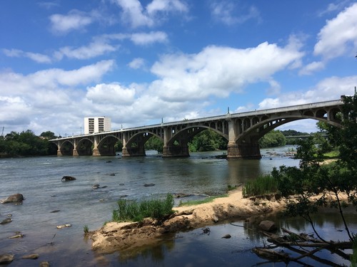
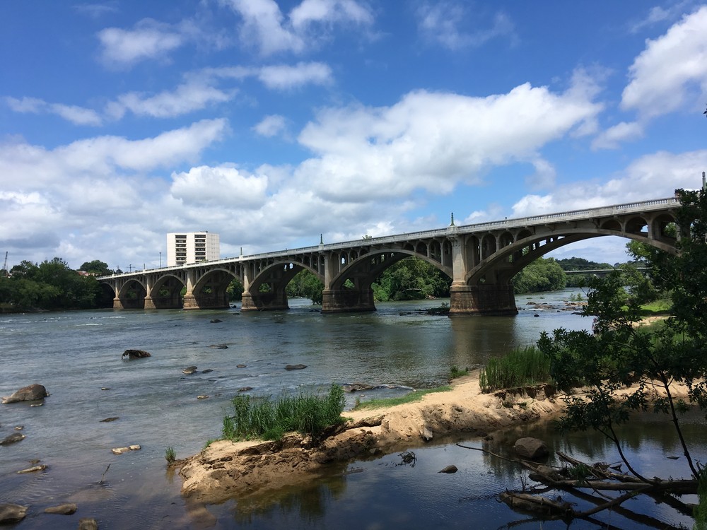
West Columbia Riverwalk (west bank) and Senate St. Landing (east bank) are both hand carry boat launches on the downstream side of Gervais Street Bridge.
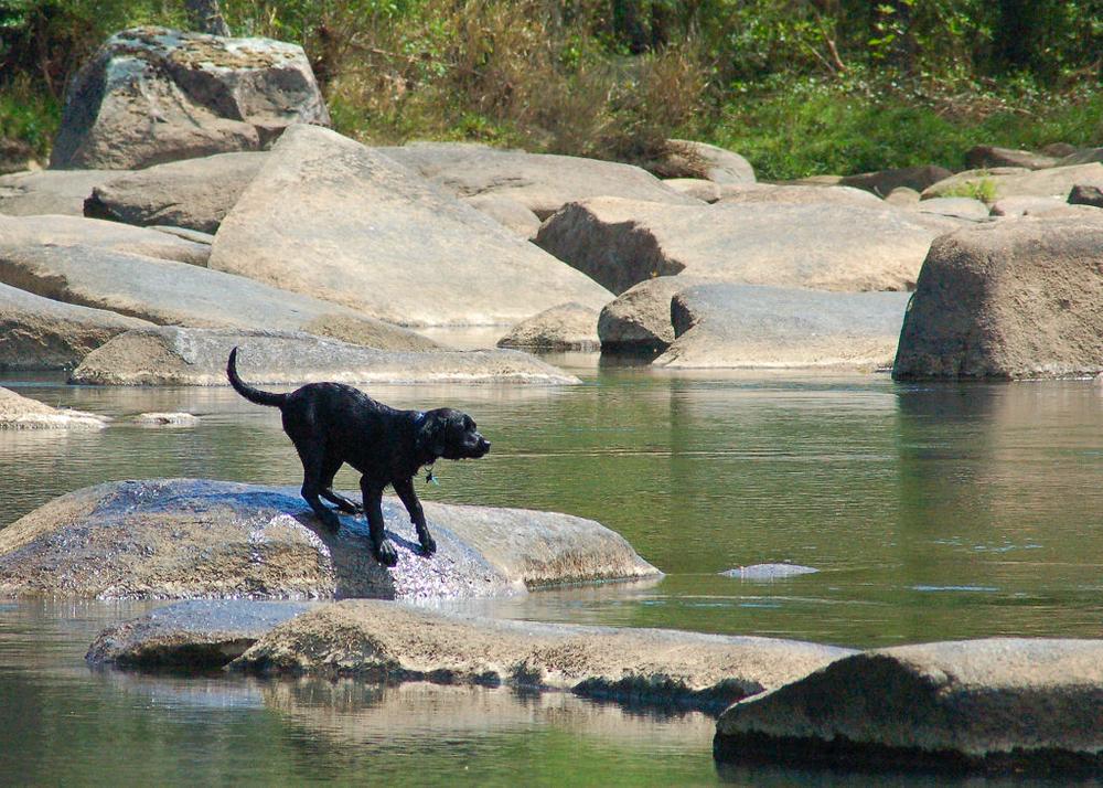
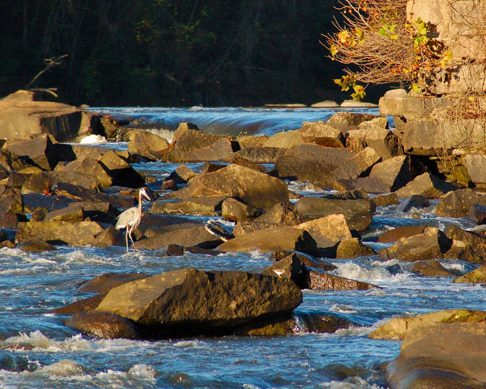
The first couple of miles are flat and calm on cold, clear water. After crossing under the I-26 bridge, the river is a series of shoals and rapids. There are great opportunities to picnic on rocks and look for river otters at shoals. There's an island just downstream of the I-26 bridge. Each side of the island contains class II-III rapids, O Brother Rapid to river right, Ocean Boulevard Rapids to river left. A mile downstream is Stacey's Ledge, followed by Mill Race Rapids (class III-IV), which are favorite play spots for whitewater kayakers.
CAUTION: Mill Race Rapids can be dangerous, especially at high water, and could cause injury to you, your boat, or your possessions. If you are not an experienced whitewater boater, portage these rapids. NOTE THE FOLLOWING CHANGE for portage around Mill Race Rapids:
The traditional portage trail at Mill Race Rapids (as shown on the map) is CLOSED and will remain closed pending completion of construction activities at Riverbanks Zoo and Garden. The Saluda Riverwalk (on river-left) is open and provides a portage route around the rapids. Take out upstream of the rapids on the left bank (north side) of the river and use the Saluda Riverwalk to safely carry around the rapids.
Below Mill Race Rapids, you will pass under the pedestrian bridge at the zoo, then on to more class II-III rapids at Shannon, Whitehouse, and Hampton Street Rapids before reaching the Gervais Street bridge where there are take-outs at either side of the Congaree River just below the bridge.
MORE CAUTION: Water conditions on the Lower Saluda River can be dangerous to all river users. Before entering this river be aware that operations at the upstream Lake Murray Dam can cause river conditions to change rapidly and produce strong currents, cold water, and large rapids.
Before paddling, check the Dominion Energy website for planned Lake Murray Dam operations and flows to the Lower Saluda. If the flows are high (yellow or red flow range) and you are an experienced whitewater paddler, then take the necessary safety precautions; otherwise, stay off the river.
Note, this trip can be extended to other take out points on the Congaree River downstream of downtown Columbia. However, the Thomas Newman Landing, about three miles downstream of Gervais Street Bridge, is the last public access for another 50 miles.


Comments (0)