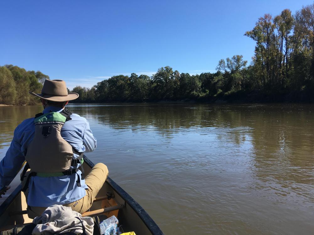
Starting in downtown Columbia, you quickly leave the city behind and float for 46 miles without another public river access. The Congaree is a big, wide river with densely forested banks, huge floodplains, and occasional tall bluffs. Numerous sand bars and Congaree National Park offer excellent camping opportunities. If you want to explore the National Park, you can access hiking trails or paddle up the Cedar Creek paddling trail from the river. This is a long overnight, or an easier two-night camping trip.
Large parking area with boat ramps and dock.
Large parking lot with boat ramp and dock.
This is a great canoe or kayak camping trip, with lots of campsite options, especially if the water is low enough to expose numerous sand bars. Starting in downtown Columbia, you quickly leave the city behind and begin a rural float. The first section of this trip consists of longer, straight stretches of river, but the river begins to meander more as you get downstream. About half-way, Congaree National Park begins on the left bank. You can get out and explore Congaree National Park by access the River Trail, or paddling up the Cedar Creek Paddling Trail. Development on the right bank is minimal and only occasionally visible from the river, making this a very rural paddle.
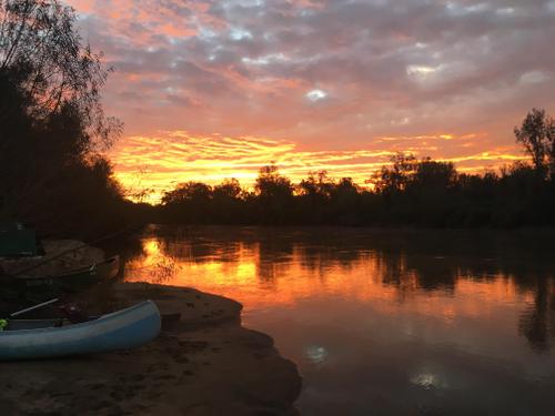
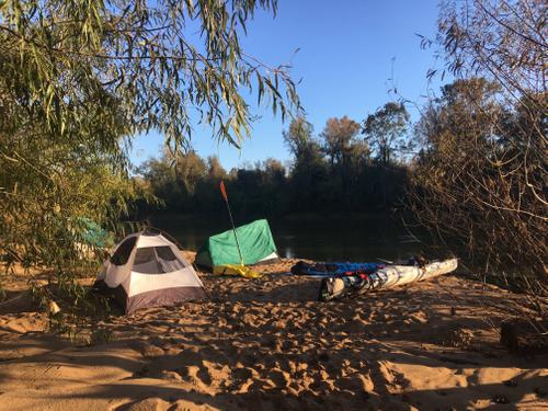
Camping is allowed anywhere in the Park's backcountry along the river. Please contact the Park to obtain a free backcountry camping permit. There are no campfires allowed in the Park's backcountry. Camping on sand bars is allowed on either side of the river, but please respect private property by staying below the ordinary high water line. All but a few larger sand bars will be underwater at around 10,000 cfs.
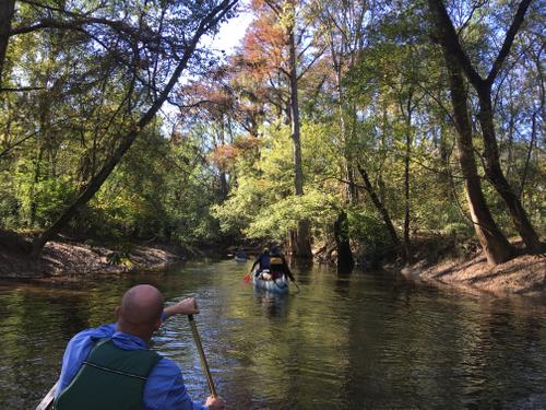
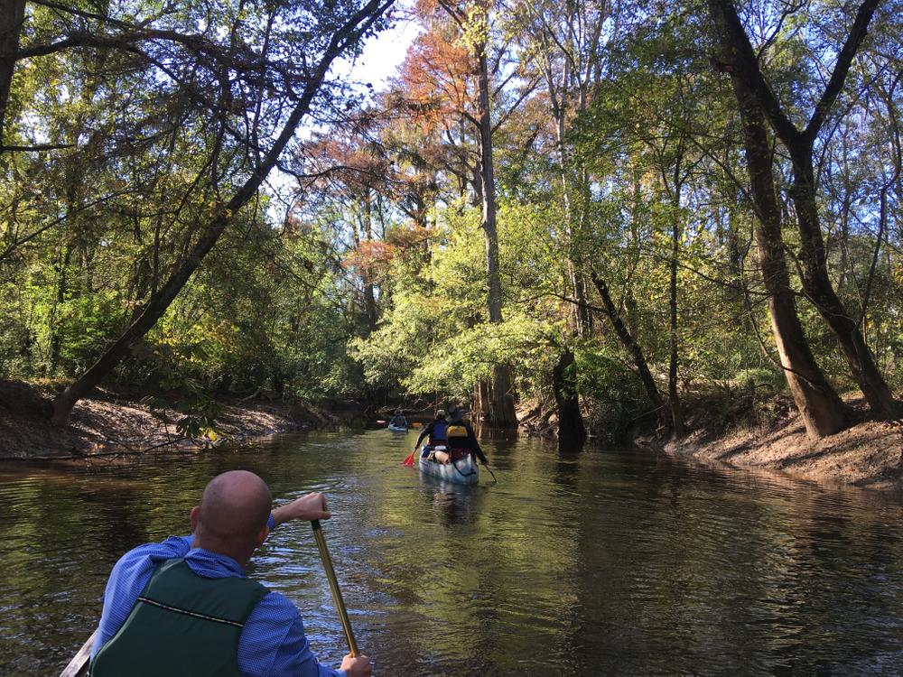
River otters are a common site along this stretch, as well as different bird species, deer, and other wildlife. Large trees line the banks, and you can check out cypress-tupelo swamps by paddling into one of the creeks that comes out of the National Park.
The Congaree River flows quickly, and is wide and free of obstructions. It would be possible to paddle this trip in two days, but the camping options make it an easy and enjoyable three day trip with time to explore or relax at a campsite.


Comments (0)