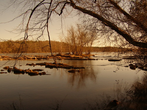
The Catawba River is a large dam-regulated Piedmont river which provides outstanding scenery, recreational fishing and boating opportunities, and other nature-based recreations. The river corridor and adjacent uplands contain large acreages of undeveloped forestland, with a mix of agricultural and pasture lands. Natural communities with high resource value include the wet, rocky shoal areas in the river channel and the forested habitats of the river floodplain and its bluffs.
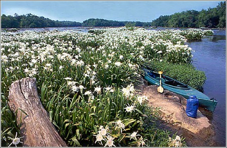
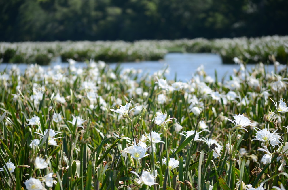
The 30-mile section of the Catawba River extending from Lake Wylie dam downstream to the SC Highway 9 Bridge (near Fort Lawn, SC) is designated a State Scenic River. This section of the Catawba is known for its large stand of rocky shoals spider lily (Hymenocallis coronaria) which has a spectacular bloom in mid-May to mid-June each year and may be viewed by boat or along the shores of Landsford Canal State Park.
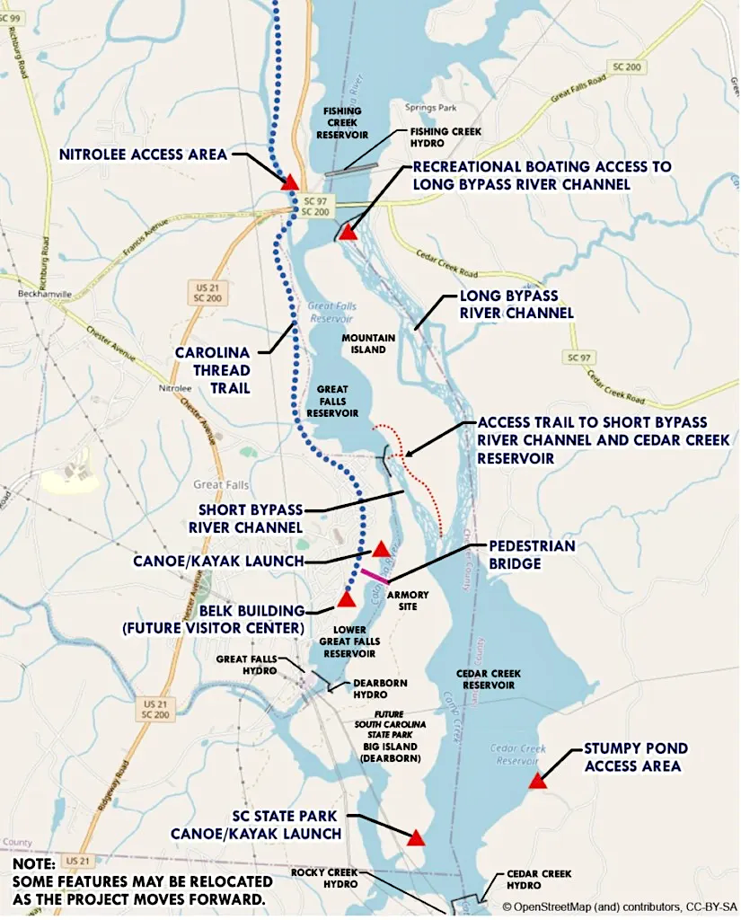
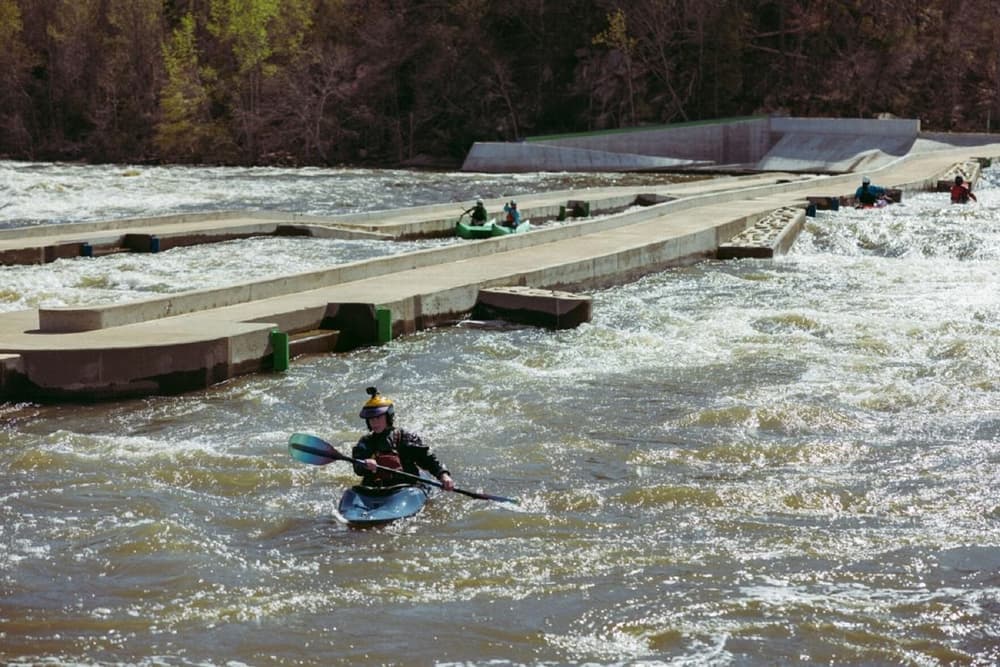
Below SC Highway 9 Bridge, the Catawba River is impounded by a series of four reservoirs. The first is Fishing Creek Reservoir, which extends 8.5 miles downstream to its dam just upstream of Highway 200 Bridge at Great Falls, SC. At the Town of Great Falls there are two small reservoirs, the upper one is Great Falls Reservoir and the lower one is Cedar Creek Reservoir. The next and last reservoir is Lake Wateree, which extends 21 miles to its dam on the Wateree River. Flatwater paddling is available on each of these reservoirs. Whitewater paddling is available on two river channels that flow from the Great Falls Reservoir. See the following information on paddling at Great Falls:
Duke Energy manages lakes/reservoirs, flow releases, and many water access / recreational sites on the Catawba River system, and Duke provides related public information at their website - Duke Energy community recreation and water access. For more information, go to this website and follow links to Recreation Information, Flow Releases, and/or Catawba-Wateree.
Adjacent Waterway: upstream, Lake Wylie; downstream, Lake Wateree.
Featured trips for this waterway showing difficulty (circles) and current runnability status (squares). .


