As the lazy, slower moving waters of the Pacolet River encounter the clear, wide channel of the Broad River, paddlers can expect to encounter very rural scenery and a variety of wildlife. This lengthy trip ends in Lockhart, SC along the Broad River, just before the Lockhart Dam.
The access and gravel parking area are located downstream of the bridge, river left (east of the bridge). From the road, drive 450 feet down a gravel path to the parking area and boat ramp. This is the last road crossing before the confluence of the Pacolet River with the Broad River; the next take out is the Town of Lockhart, 12 miles downstream (4-5 hours).
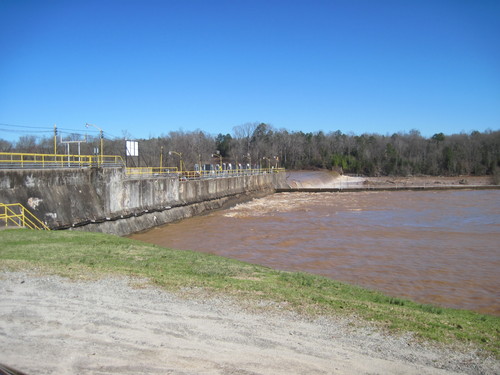
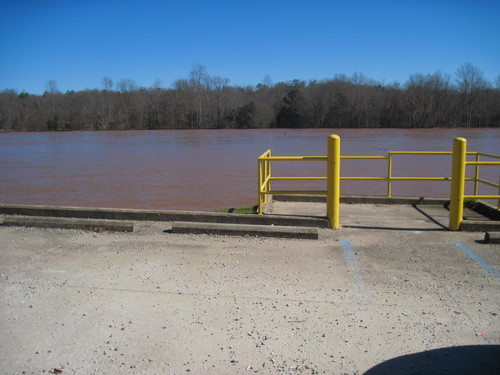
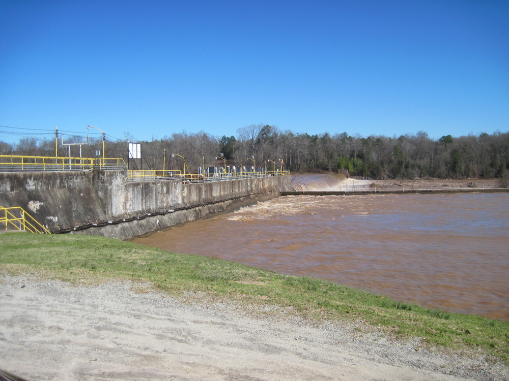
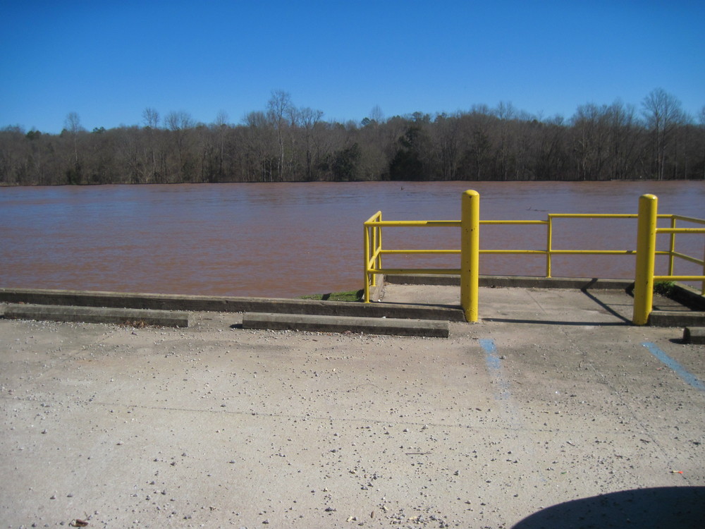
Paddlers should use caution when approaching the Lockhart Dam. The take out is located river-right, before the first dam. Access to the parking lot requires a short walk. The Lockhart Canal is formed by the two dams located north and south of the Town of Lockhart. Swimming and boating are not permitted within the Lockhart Canal. Paddlers wishing to continue their trip downstream should use the phone in a box on the side of Lockhart Power's building, which is connected to Lockhart Power's control room, to call (864) 545-2580. Lockhart Power will bring a truck and portage you to the put in downstream river-left, east of Lockhart Power's Hydropower Plant and Dam.
The take out at Lockhart Dam is 15 minutes from Skull Shoals Road, so shuttling cars could take a half hour or more. Once on the river, there is not a road crossing. The Pacolet River converges with the Broad River about 2/3 of the way into the trip. The waters of the Broad River may be swifter moving than the Pacolet. Upon approaching the Lockhart Dam, take out is located river right 300 feet before the dam. Paddlers should use caution when approaching the Lockhart Dam. This dam is large and poses significant hazard to paddlers. Use caution at all times when paddling nearby and avoid the dam and its facilities. Swimming and boating in the Lockhart Canal is prohibited. Portage boats 800 feet to the gravel parking area. For additional information, view Upstate Forever's Pacolet River and Lawson's Fork Creek Blueway Map and Broad River Blueway Map.


Comments (1)