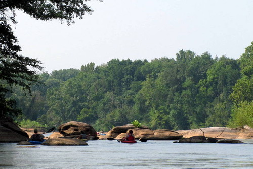
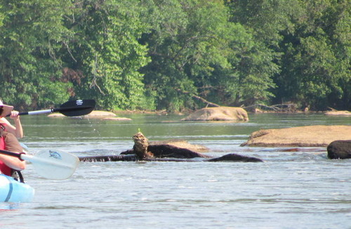
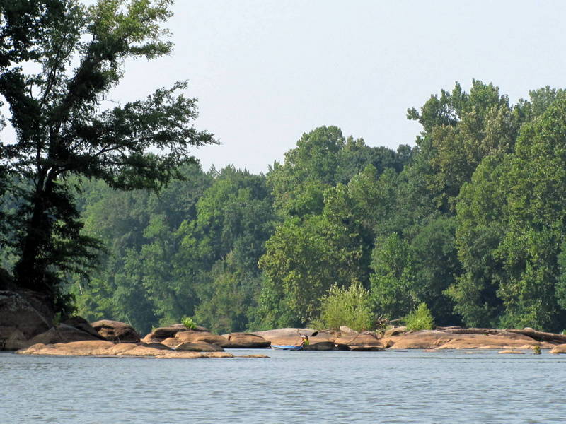
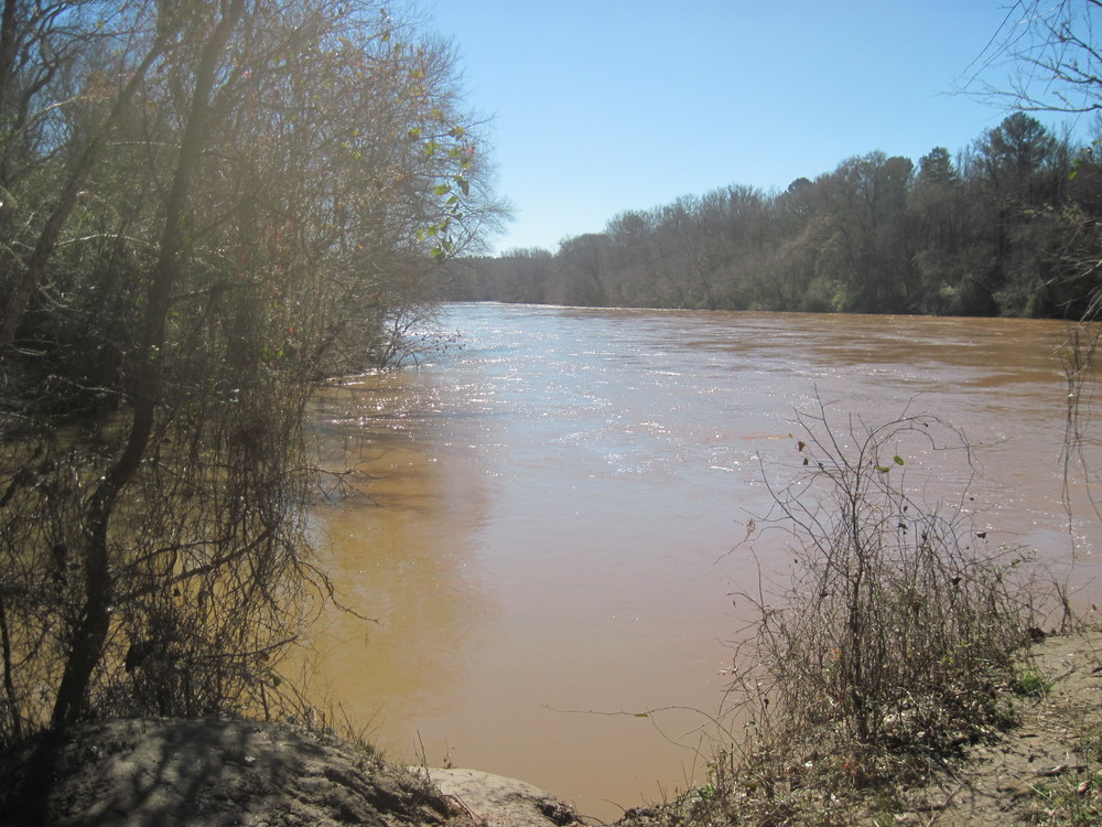
The Tyger River joins the Broad River along this section, which is characterized by Class I-II rapids and swift moving flatwater. Primarily rural in nature, paddlers will be surrounded by densely wooded forest and see two long, forested islands along the way.
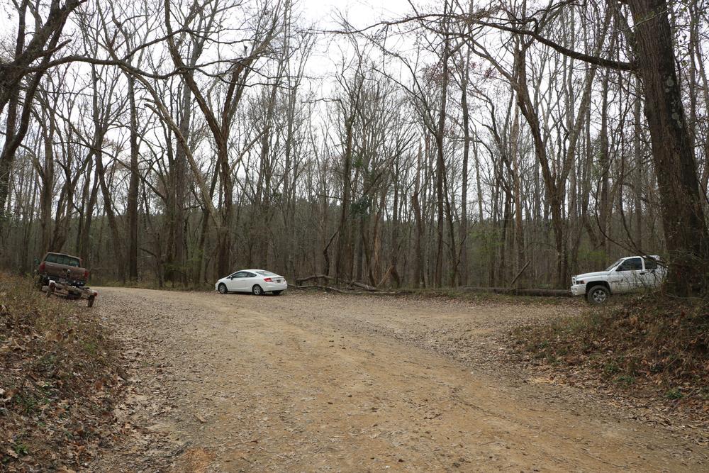
A small parking area and dirt boat ramp are located river-left. To view the map, click HERE.
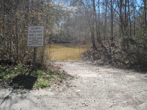
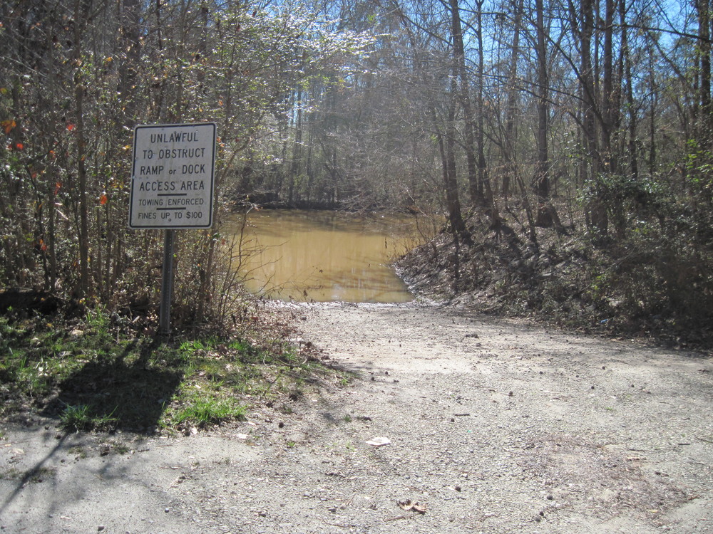
A small parking area and dirt boat ramp are located river-right.
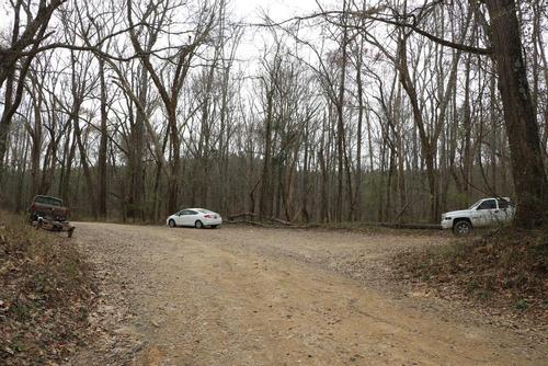
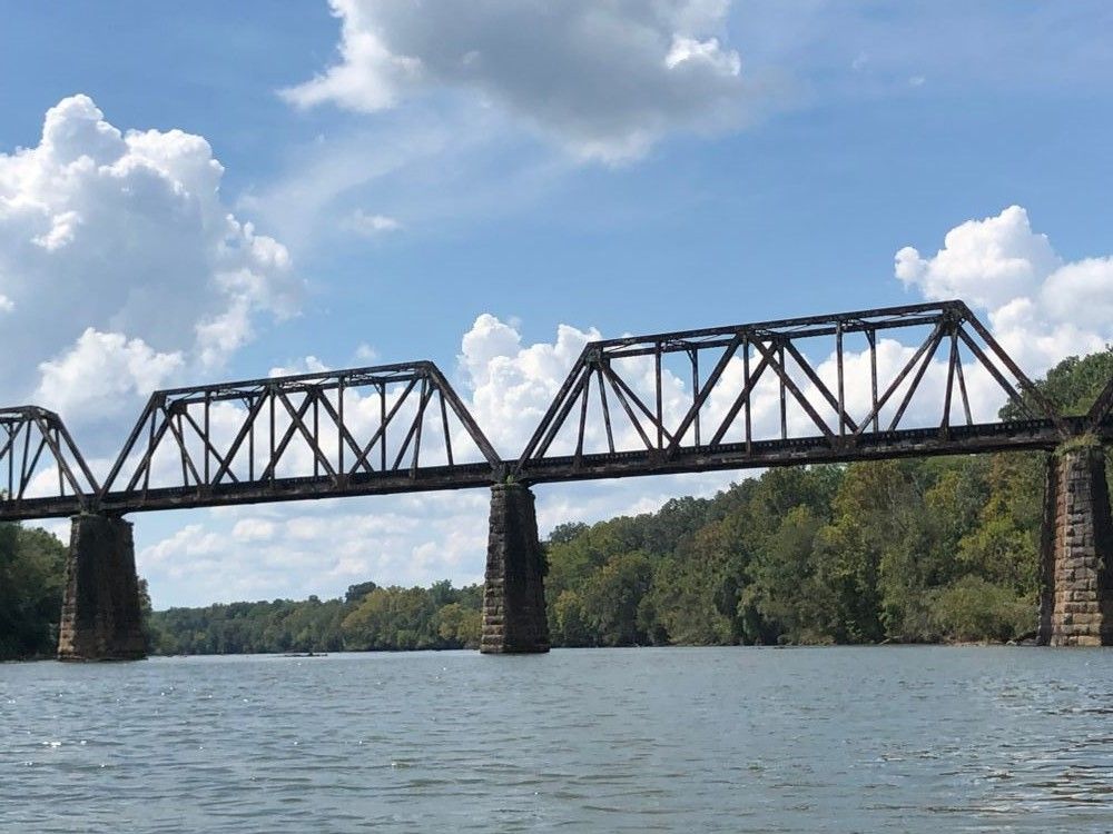
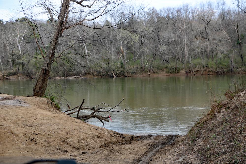
The take out is 40 minutes away from the put in, so shuttling cars could take close to an hour and a half. After putting in at the Sandy River Landing, which is the confluence of Sandy River and Broad River, paddlers will see occasional shoals and Class I-II rapids. The two islands are 0.5 miles long and 2 miles long respectively. Paddlers should follow either side of the river around the first island, but stay to the right side of the river around the second island. After the second island, paddlers will cross under a railroad bridge, and will then see the confluence of the Tyger and Broad Rivers shortly thereafter. The take out is located 3,000 feet downstream of the Tyger/Broad River confluence, river-right.


Comments (1)
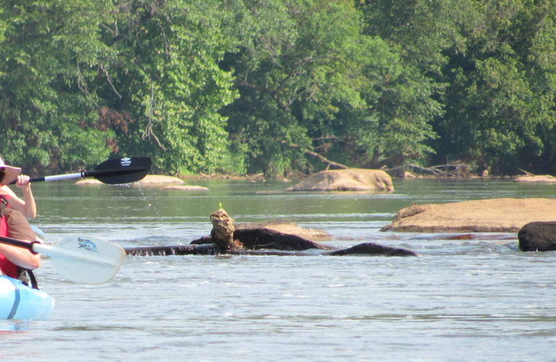
We got hung up a few times on this stretch (barely!) and had to rock ourselves across. A couple times I even had to step onto the rock and push us across and get back in . Just a half a foot would've made all the difference, maybe even less than that.
I would suggest a hand bilge pump also as we did have some water come over the bow in our open top kayak through the larger Class II's. Wasn't a large amount or a ton of drama but you should always have the ability to bail water if necessary. Other than that the surface speed was nice, not a lot of paddling required.
We put in at 9:55am and were at Shelton Ferry at 12:05, right at 3mph again at 1140CFS of flow. Saw a pair of bald eagles up near the Sandy River put in, then numerous Osprey, egrets, green herons and Canada geese on the rest of the run. Only other people we saw were attempting to launch a boat at Shelton Ferry.
It was HOT but water temp was sooo nice we stopped for a dip a few times.
I'll also comment on the section of the downstream trip to Strother Landing but be forewarned a lot of the next leg downstream will require paddling, not much of a float trip, especially in the afternoons.