Paddle SC
Camping Fee Required Handicap Accesible Parking- Dedicated Lot Roadside Parking Restrooms / Toilets

Broad River: Neal Shoals Dam to Sandy River Landing

Scroll down for more details
Legend
Hide All

Broad River: Neal Shoals Dam to Sandy River Landing

Skill Level: Easy
Loading 
Rapids: Class I
Length: 7.40 miles
Duration: 3.5 - 4 hours
Portaging: No
What to Expect

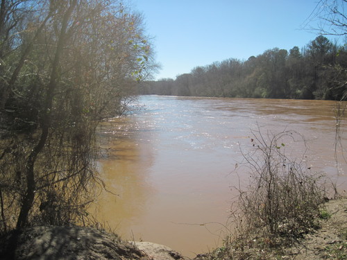
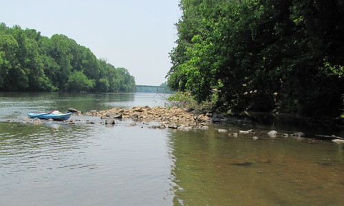
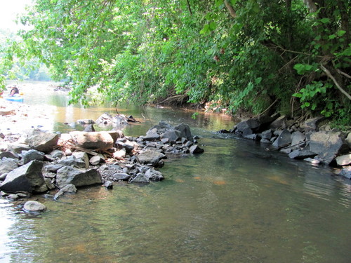
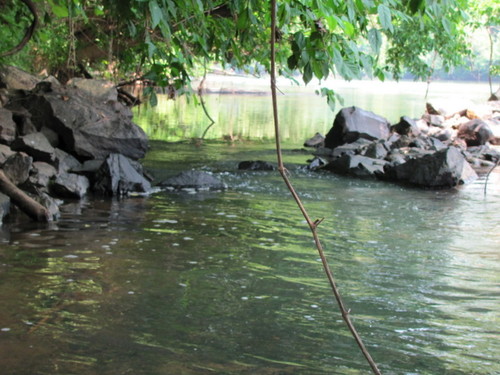
This trip is classified by swift moving flatwater and Class I rapids, wide, clear channels, and densely wooded forests along the river's banks.

Access
Put in:
Neal Shoals Dam River Access and Parking Area
Access Details

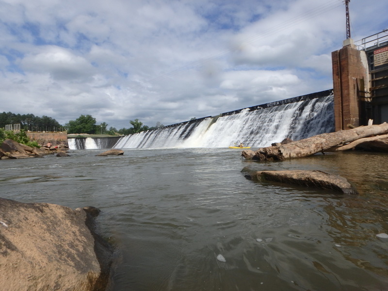
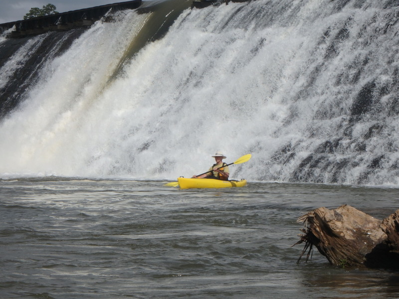
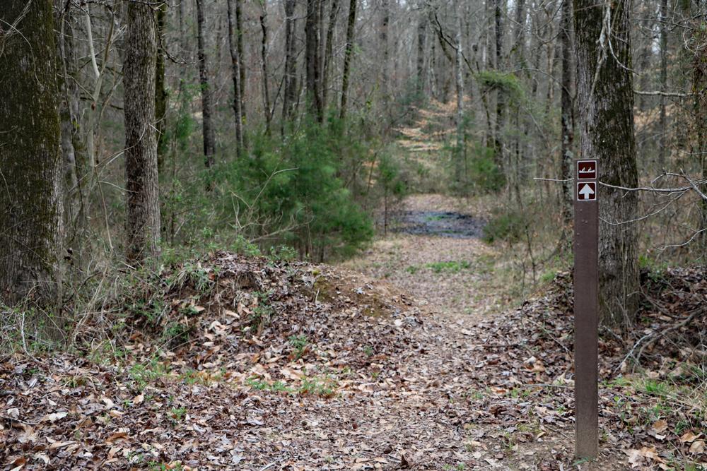
The Broad River can be accessed by portaging boats 500 feet from the parking area. This river access can be used to avoid portaging the Neal Shoals Dam.

Take out:
Sandy River Boat Ramp and Parking Area
Access Details

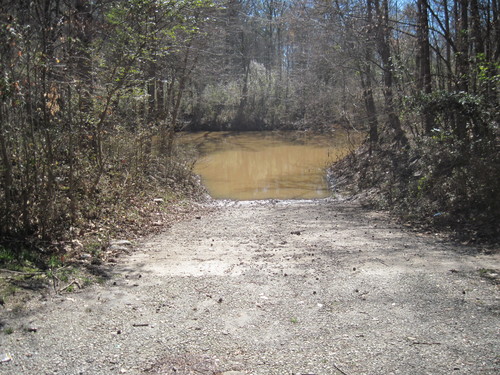
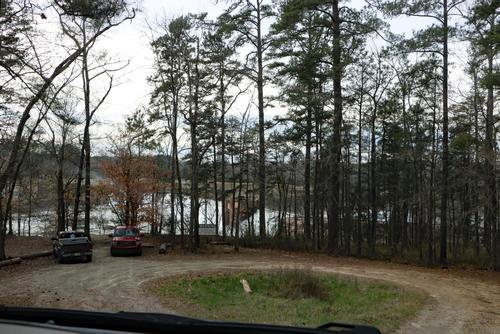
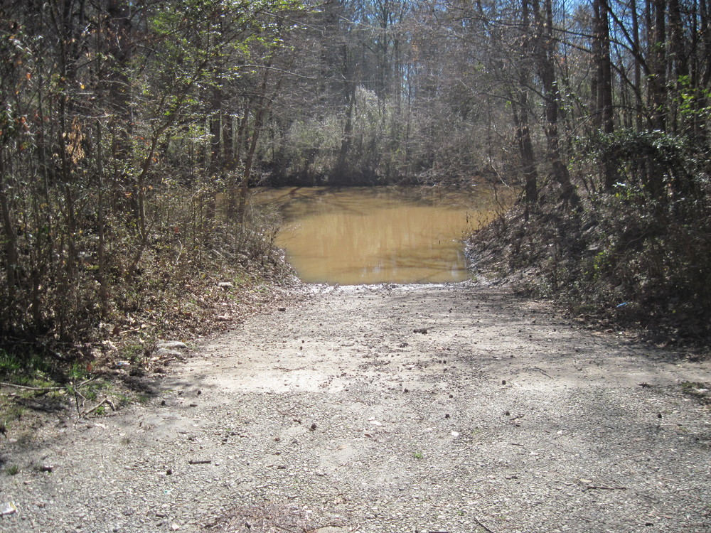
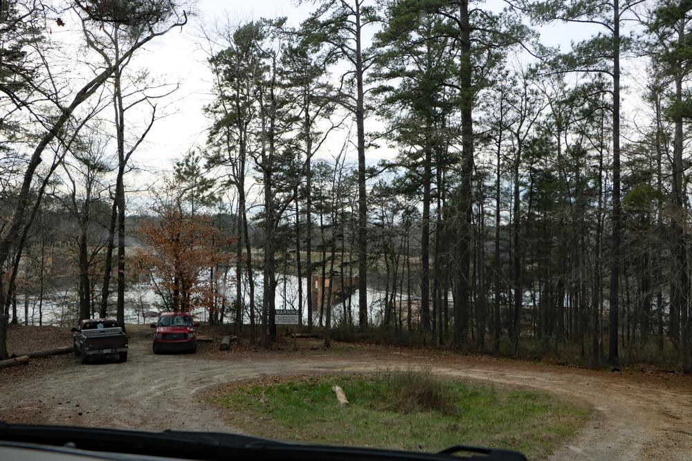
A small parking area and dirt boat ramp are located river-left. To view the map, click HERE.

Trip Details

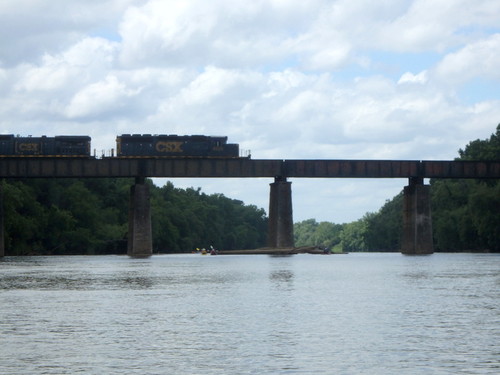
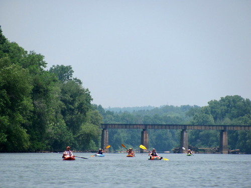
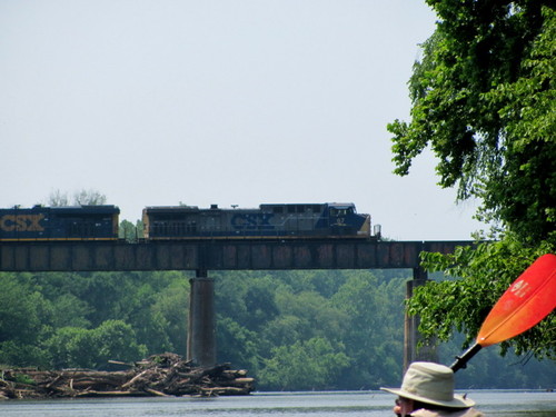
The put in and take out are 30 minutes apart, so shuttling cars could take close to an hour. When driving to the take out, bear right at the fork of Store Road and Boat Ramp Road. Store Road is a dead end. After putting in at Sandy River Landing, paddlers will cross under a railroad bridge and the Highway 215 bridge. The take out is 1.75 miles downstream of the Highway 215 bridge.

Waterway: 

Comments (1)

Please Sign In or Create Account to add your photo to this trip
Paula Cumalander
Mar 24, 2018 2:51 pm EDT
“Some of this fishing activity was quite different than what we think of fishing today. One of these was the use of “fish dams” placed out in the river. One rare surviving example is on the Broad River, close to the town of Carlisle, SC. This fish dam was made of piled up stones that made a “V” shape pointing down river. It is believed that the narrow end of the “V” was used to hold a basket type trap to catch the fish being funneled between the piled up stone walls. Probably, the Indians went into the river upstream of the fish dam and “drove” the fish down in to the traps by splashing in the water.” http://pacoletmemories.com/riveractivities.html DAM IS FOUND ON RIVER RIGHT WITHIN SIGHT OF THE HIGHWAY 215 BRIDGE.
Please Sign In or Create Account to add your photo to this trip
Sandy River meets the Broad River (Credit: Upstate Forever)
Dirt Boat Ramp at Sandy River Landing (Credit: Upstate Forever)
Neal Shoals Dam at put-in (Credit: P Cumalander Frick)
(Credit: P Cumalander Frick)
Site of Old Catawba Indian Fish Dam and Revolutionary War Battle.  (On river right with 219 Bridge in site) (Credit: P Cumalander-Frick)
Catawba Fish Dam (fish were corralled through this entrance to a pool below to be caught or speared) (Credit: P Cumalander-Frick)
Catawba Fish Dam (looking from the pool upstream to the entrance) (Credit: P Cumalander-Frick)
3 H day on the Broad (Hot, Humid, Hazy).  Heat index 114 (Credit: P Cumalander-Frick)
(Credit: P Cumalander-Frick)
Parking at Neal Shoals Dam, 2021 (Credit: pcumalander)
Canoe path to river.  About 500 ft. (Credit: pcumalander)
Trip Resources
River Flow (CFS)
Discharge flow information
CURRENT CFS
Flows for safe padding (cfs)
MINIMUM
500
MAXIMUM
10000
X Close
Skill Level
Easy
Moderate
Difficult
Advanced
Learn more
X Close
Flow Level
Runnable
Above Runnable
Below Runnable
No Information
Learn more
X Close
Skill & Flow Level
Easy
Moderate
Difficult
Advanced
Runnable
Above Runnable
Below Runnable
No Information
X Close
Access Amenities
Parking - Dedicated Lot
Parking - Roadside
Restroom / Toilets
Fee Required
Handicap Accessible
Camping
Paddle SC is presented by
Upstate Forever
South Carolina Department of Natural Resources
South Carolina National Heritage Corridor
Rainey Foundation