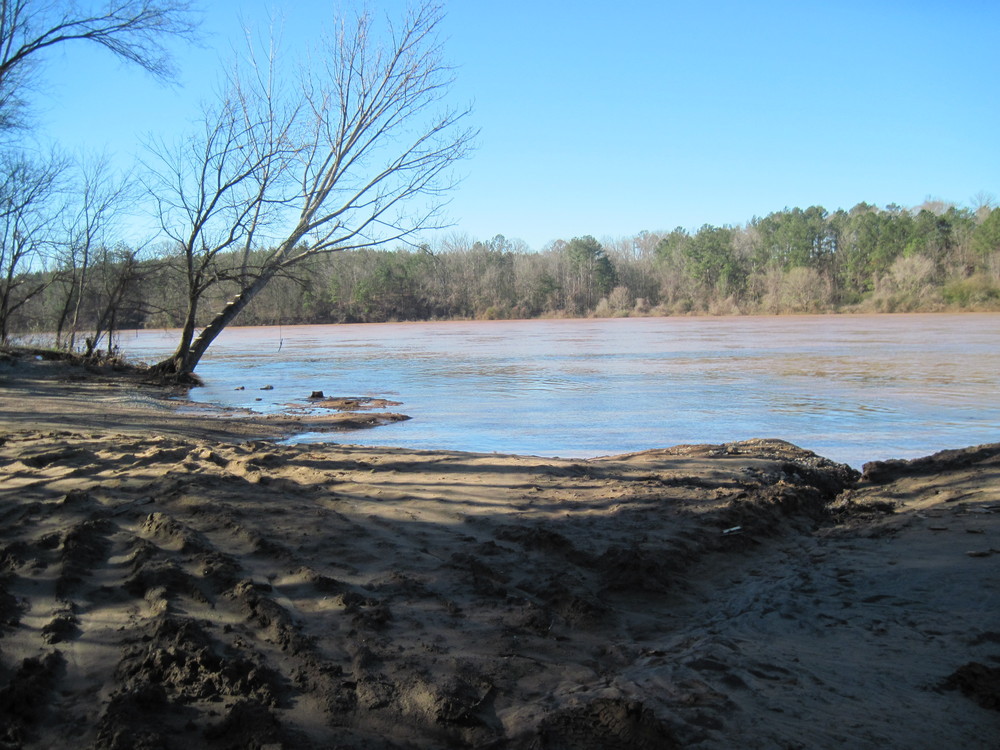
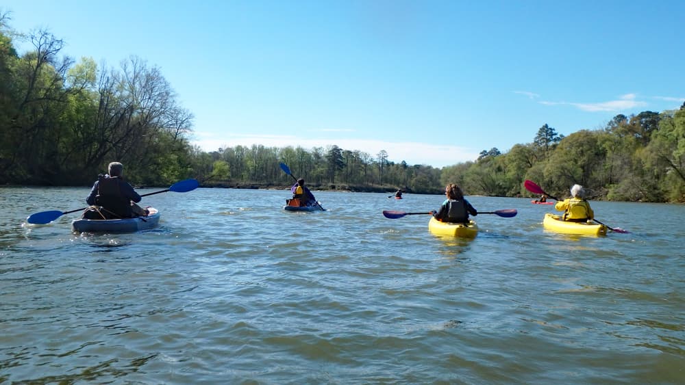
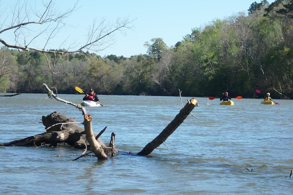
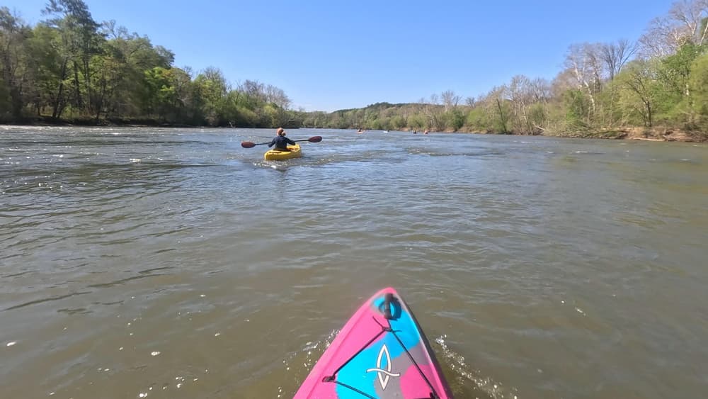
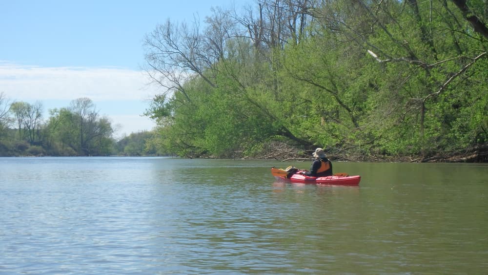
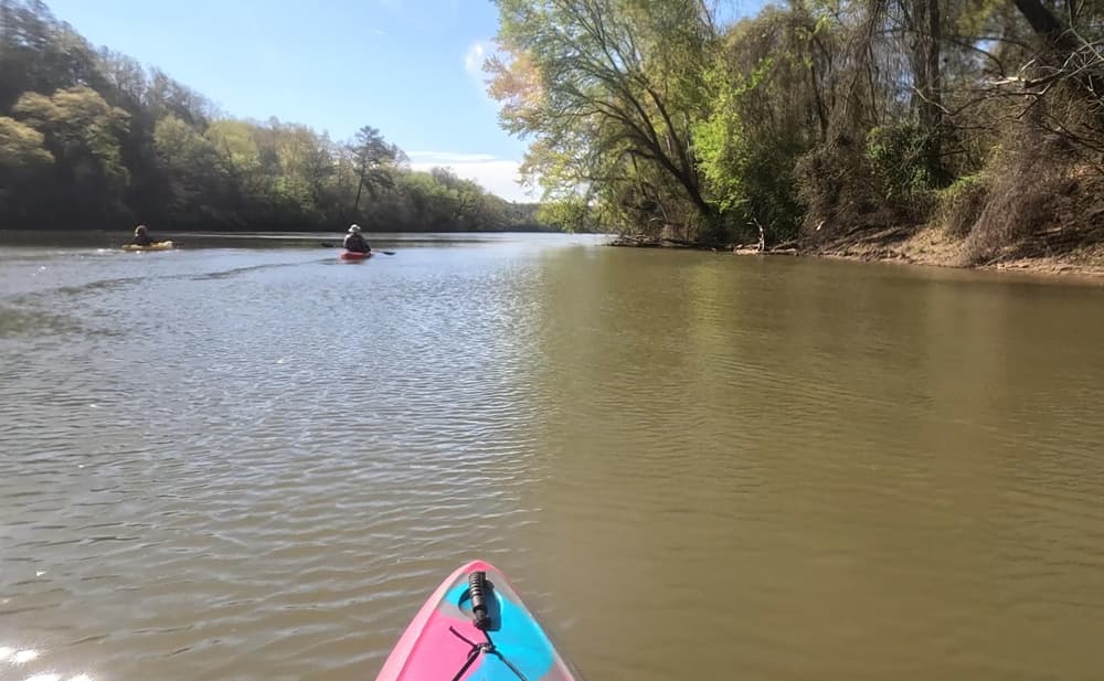
This is the last stretch along the Upper Broad River Blueway. Paddlers will see the confluence of the Broad and Enoree Rivers, 1.8-mile long Henderson Island, and densely wooded forests.
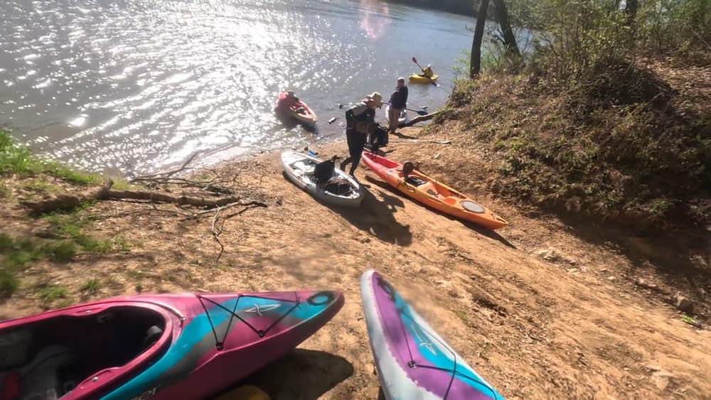
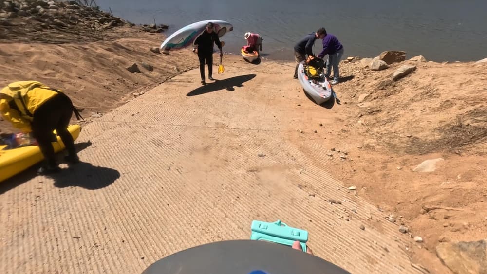
A small parking area and dirt boat ramp are located river-right.
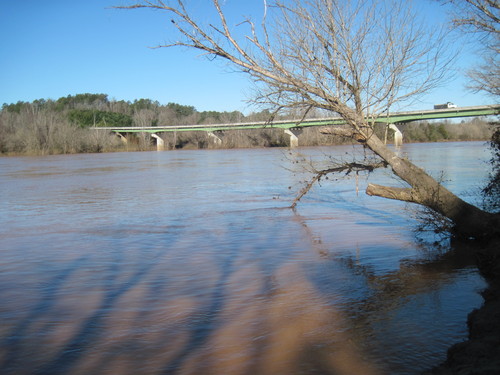
Strother Landing is located 600 feet downstream of the SC-34 bridge, river-left. Traveling east across the SC-34 bridge, go 0.1 miles and turn right on to Strother Road. From Hwy 34, go about 500 feet on Strother Rd then turn right on a dirt road, cross the railroad tracks, then bear left to the landing which has a paved loading/unloading area and a concrete ramp to the water.
The take out is 25 minutes away from the put in, so shuttling cars could take close to an hour. After putting in the river, paddlers will come across Henderson Island which is 1 mile long. Stay to the left of the island. Downstream of the island, the Enoree River joins the Broad River. After crossing under two sets of power lines, paddlers will then cross under the Highway 34 bridge. Stay to the left and Strother Landing is 2,000 feet downstream of the bridge.


Comments (3)
The Broad @ Carlisle gauge read 1140CFS at 2.74' of depth. I feel you need more flow for this leg to really be enjoyable because the closer you get to Strother, the less flow there is. Also of important influence is the Parr Reservoir. It is used to cool the VC Summer Nuclear Plant turbines and will fluctuate 4' throughout the day. If they are refilling it, you will have negative current towards the end of this run. Time it right and you will have positive current to work with. It was pretty well stagnant for us towards the end but with a headwind that made us huff.
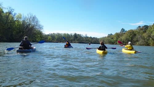
All in all this section still took 3.5 hours but with significant portions of paddling. The shoals and rapids towards the beginning could've benefited with a bit more water flow and depth. We had to pull the kayak across a couple of rocky shoals near the Enoree confluence. Other than that, not a lot of rapids/shoals for us.
Tons of Osprey, herons and egrets but it was afternoon at this point and blazing hot so not much wildlife otherwise to see. Met 2 small motorboats on the whole trip, both towards the southern end of the run.
I would recommend a bit more flow and depth than 1140CFS and 2.74' of depth although it is obviously doable and I would do it again in these conditions. It's just a little more work. :)