Paddle SC
Camping Fee Required Handicap Accesible Parking- Dedicated Lot Roadside Parking Restrooms / Toilets

Reedy River: Conestee Road (Unofficial) to Log Shoals Park

Scroll down for more details
Legend
Hide All

Reedy River: Conestee Road (Unofficial) to Log Shoals Park

Skill Level: Moderate
Loading 
Rapids: Class I , II
Length: 3.90 miles
Duration: 2 - 2.5 hours
Portaging: No
What to Expect

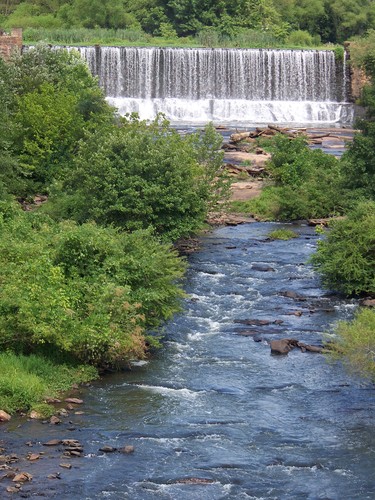
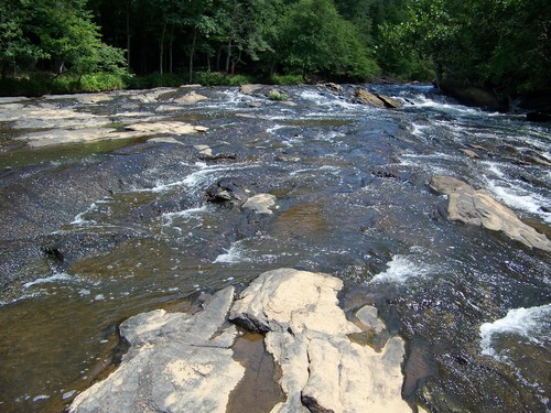
Just 15 minutes south of downtown Greenville, SC, this trip features exciting shoals and Class II rapids as well as sections of flatwater. There is a high potential for woody debris/ fallen trees in this section.

Access
Put in:
Conestee Road River Access (Unofficial)
 282 Conestee Road, Greenville, SC 29607
Access Details

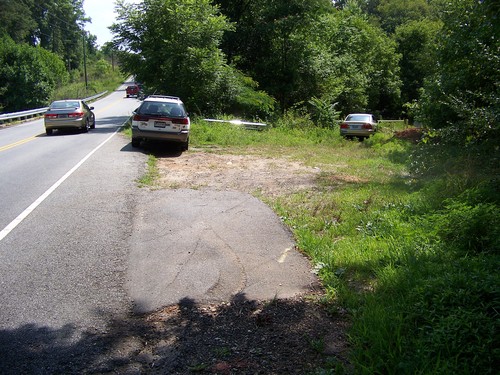
Conestee Road should be used as a river access only. Parking is available at 48 Spanco Drive, 950 feet from the put in. Put in downstream of the bridge, river-left. 

Take out:
Log Shoals Road River Access and Roadside Parking
 212 Log Shoals Road, Greenville, SC 29607
Access Details

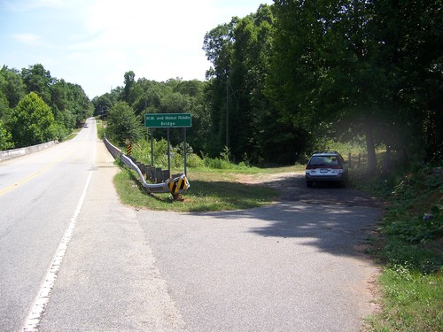
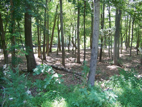
This site is the future home of the Log Shoals Park and River Access, located downstream river-right. Although construction has not yet begun, river users may still utilize this river access during the daytime.

Trip Details

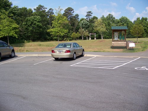
This trip begins just below the Lake Conestee Dam immediately downstream from the Lake Conestee Nature Park. Paddlers should park vehicles at the Spanco Road Parking Lot and put in downstream of the Conestee Road bridge, river left. The future site of Log Shoals Park (the take out) is a 15-20 minute drive, so shuttling cars could take close to 45 minutes. After putting in, paddlers will cross under a pipe after 1,800 feet. The first road crossing is Ashmore Bridge Road. Paddlers will then cross under a foot bridge that is a part of the Hejaz Shrine Golf Club. Interstate-185 is just downstream of the golf club. After crossing under the bridge, the next road crossing is Log Shoals Road, and the take out will be river-right, downstream of the bridge.

Waterway: 

Comments (0)

Please Sign In or Create Account to add your photo to this trip
roadside pull-off along Conestee Road (Credit: Upstate Forever)
Conestee Dam as viewed from Conestee Road bridge (Credit: Upstate Forever)
Spanco Road parking area (Credit: Upstate Forever)
entrance to Log Shoals Park site (Credit: Upstate Forever)
shoals at Log Shoals Park (Credit: Upstate Forever)
scenic wooded area along Log Shoals Park trail (Credit: Upstate Forever)
Trip Resources
Download map files for your own use. Learn more
River Flow (FT)
Discharge flow information
CURRENT FT
Flows for safe padding (ft)
MINIMUM
4.8
MAXIMUM
12
X Close
Skill Level
Easy
Moderate
Difficult
Advanced
Learn more
X Close
Flow Level
Runnable
Above Runnable
Below Runnable
No Information
Learn more
X Close
Skill & Flow Level
Easy
Moderate
Difficult
Advanced
Runnable
Above Runnable
Below Runnable
No Information
X Close
Access Amenities
Parking - Dedicated Lot
Parking - Roadside
Restroom / Toilets
Fee Required
Handicap Accessible
Camping
Paddle SC is presented by
Upstate Forever
South Carolina Department of Natural Resources
South Carolina National Heritage Corridor
Rainey Foundation