Paddle SC
Camping Fee Required Handicap Accesible Parking- Dedicated Lot Roadside Parking Restrooms / Toilets

North Tyger River: Morris Bridge Road (Unofficial) to Nesbitt Shoals Park

Scroll down for more details
Legend
Hide All

North Tyger River: Morris Bridge Road (Unofficial) to Nesbitt Shoals Park

Skill Level: Moderate
Loading 
Rapids: Class II
Length: 3.60 miles
Duration: 1.8 - 2.3 hours
Portaging: No
What to Expect

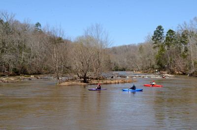
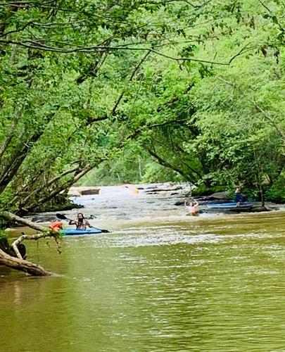
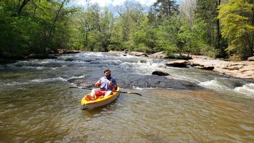
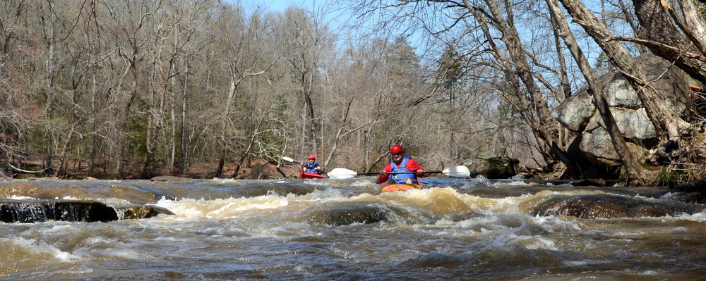
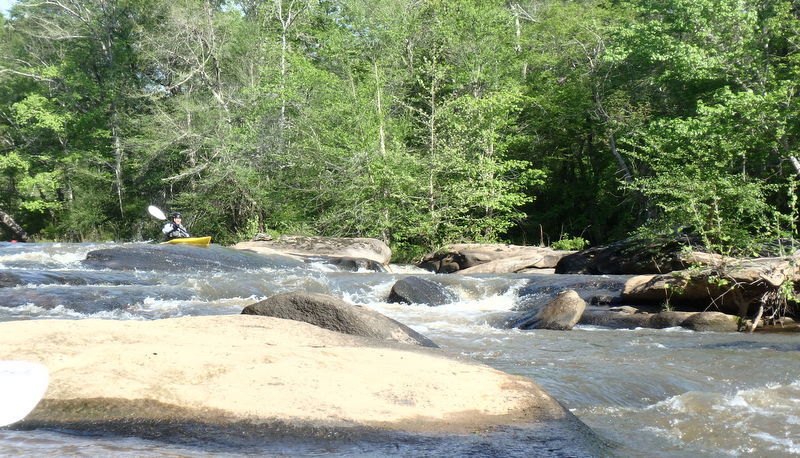
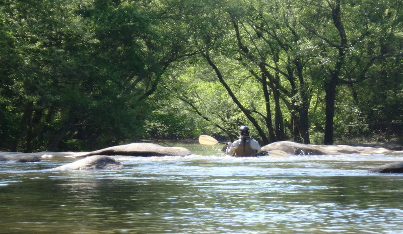
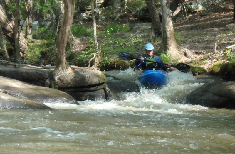
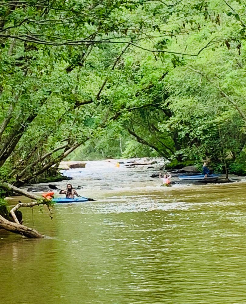
This popular stretch is paddled annually by families during the Tame The Tyger event hosted by the Tyger River Foundation. A great family section, this trip boasts exciting Class II rapids and shoals. Paddlers will also see the confluence of the North and South Tyger Rivers, forming the main stem of the Tyger River along this trip.

Access
Put in:
Morris Bridge Road River Access and Roadside Parking (Unofficial)
 1760 Morris Bridge Road, Roebuck, SC 29376
Access Details

Limited parking and river access is available where Hobbysville Road curves left and turns into Morris Bridge Road, before the bridge. Park north-west of the road, river-right, on the road's shoulder and follow the worn path on upstream right, which leads down the hill to the river. Please pull cars completely off the road and be aware of other vehicles. 

Take out:
Nesbitt Shoals Park
 3100 Walnut Grove Road, Roebuck, SC 29376
Access Details

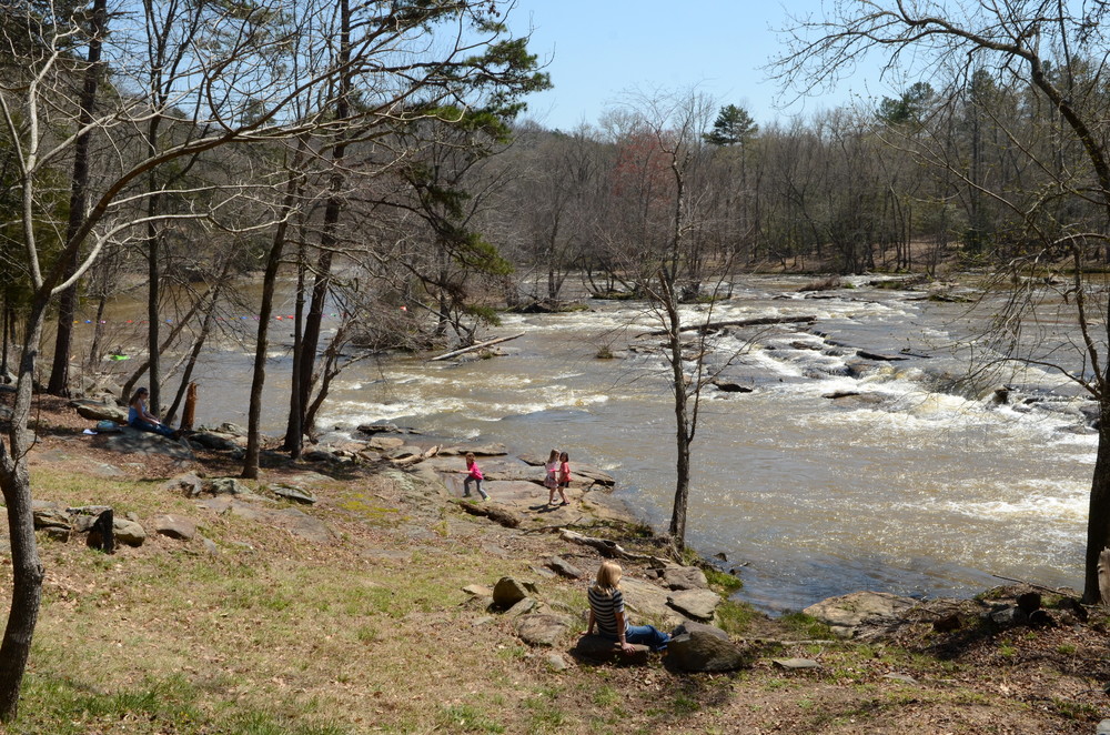
Nesbitt Shoals Park is the first public river access along the Tyger River, located just a few minutes off of I-26 (Exit 35). Park cars completely off the road along the upstream/west side of the road. Provided by the Tyger River Foundation, the park offers parking, trails, river access, and picnic tables. 


Trip Details

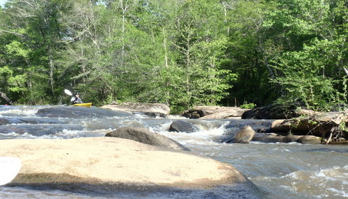
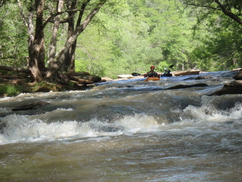
The Tyger 10 Nature Park is a 10 minute drive from Morris Bridge Road; shuttling cars could take a half hour. Limited roadside parking is available along Morris Bridge Road. Access the river on the upstream river left side of the Morris Bridge Road bridge. Once on the river, paddlers will encounter exciting shoals and rapids on average about every 500-1,000 feet. After the confluence of the North and South Tyger Rivers, paddlers will soon see the Walnut Grove Road bridge, which is 2,000 feet downstream of the rivers' confluence. There are shoals for about 1,500 feet before the bridge; paddlers should stay to the left side of the river and exit the river upstream of the Walnut Grove Road bridge at the Tyger 10 Nature Park. For more information see the Tyger River Blueway map.

Comments (3)

Please Sign In or Create Account to add your photo to this trip
Krzysztof Zaryczny
Jul 12, 2020 8:53 pm EDT
Kayaked at 540 CFS. Had to get out of the kayak several times due to low levels. Some fun rapids, but the smell of sewage in several spots was not good....
Chris Kohlmorgen
Jul 02, 2020 7:28 pm EDT
Great trip. We kayaked this stretch with about 11 people (some beginner and some more advanced) and everyone had a great time. Quite a few beginners fell out of their kayaks since the flow was about 860 cfs towards the end of June but with some assistance we were on our way in no time. This section is listed as Rapids: Class II, however, with the flow rate being fairly high I definitely think a couple rapids were closer to Class III. It took us about 3 hours to complete but we all take our time and take a few breaks which add to the expected duration. Strongly recommend this stretch full of flat water and several patches of adrenaline filled shoals.
James Moss
Aug 10, 2018 10:54 am EDT
For anyone looking for an enjoyable kayak trip, this one has always been good for us. It's a nice combination of flatwater and whitewater for the average kayaker (is that a word?). Even when the flow is around 300cfs, we have still had a good time on this route. We go often after work and are able to get through it before dark. One warning though, the portage at Tyger 10 is rather steep and long with a heavier kayak. Be ready for a short work-out getting up to the parking lot.
Please Sign In or Create Account to add your photo to this trip
(Credit: PCumalander-Frick)
The Crouching Tyger
Left on Thomas Branch (Credit: Chris Kohlmorgen)
Some fun rapids
Trip Resources
River Flow (CFS)
Discharge flow information
CURRENT CFS
Flows for safe padding (cfs)
MINIMUM
550
MAXIMUM
1000
X Close
Skill Level
Easy
Moderate
Difficult
Advanced
Learn more
X Close
Flow Level
Runnable
Above Runnable
Below Runnable
No Information
Learn more
X Close
Skill & Flow Level
Easy
Moderate
Difficult
Advanced
Runnable
Above Runnable
Below Runnable
No Information
X Close
Access Amenities
Parking - Dedicated Lot
Parking - Roadside
Restroom / Toilets
Fee Required
Handicap Accessible
Camping
Paddle SC is presented by
Upstate Forever
South Carolina Department of Natural Resources
South Carolina National Heritage Corridor
Rainey Foundation