Paddle SC
Camping Fee Required Handicap Accesible Parking- Dedicated Lot Roadside Parking Restrooms / Toilets

Little Pee Dee River: Floyd Dale Bridge to Carmichael’s Bridge

Scroll down for more details
Legend
Hide All

Little Pee Dee River: Floyd Dale Bridge to Carmichael’s Bridge

Skill Level: Easy
Loading 
Rapids: None
Length: 3.30 miles
Duration: 1.5 - 2 hours
Portaging: No
What to Expect

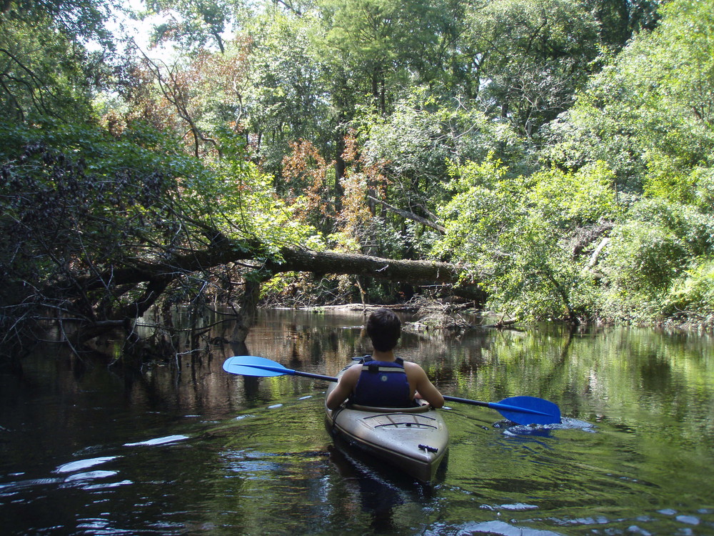
As you float this section of the river, you may notice a wider channel and a more lake-like or slower water flow. Try to spot the Spanish moss and mistletoe in the oak, tupelo and cypress trees. Notice the wonderful shapes of the many cypress knees along the river banks. The sandy pointbars are also a little larger at low water levels and are great places to stop for a swim break.

Access
Put in:
Floyd Dale (Floydale) Bridge Landing
Access Details

Paved boat ramp, dirt parking lot, small picnic shelter.

Take out:
Carmichael’s Bridge / Heritage Trust Landing
Access Details

This is a state-owned, drop in access from the dirt road with limited parking available. The Little Pee Dee State Park and the Heritage Preserve extend both upstream and downstream for over one mile along the north bank of the river.

Trip Details

The Heritage Trust landing is located on the north side of the river just upstream from Carmichael’s Bridge. The South Carolina Department of Natural Resources’ Heritage Trust Program acquired 301 acres to protect an undisturbed medium-sized Carolina bay. This Carolina bay is located on the edge of the floodplain just north of this landing. Carolina bays are oval depressions with a northeast to southeast orientation and are usually filled with bay trees and other wetland vegetation. There are many theories as to the origin of these bays. As you enter or exit the landing road you will travel near the bay’s sand rim through xeric (extremely dry) vegetative habitats. Little Pee Dee State Park is adjacent to the Heritage Trust property and offers a wonderful campground next to a 54-acre lake.

Waterway: 

Comments (1)

Please Sign In or Create Account to add your photo to this trip
Mitchell Lloyd
Dec 09, 2021 4:11 pm EST
Paddled on 12/3/2021. River level 5.95 ft Dillon gauge, https://waterdata.usgs.gov/sc/nwis/current/?type=flow, This level is low water. River was passable with work at this level. Many trees and debris in water, many submerged snags. There was one portage about 1 mile upstream from Carmicheal's Bridge, 4 trees together in one stump, this will be a portage at any river level. Portage was short and easy but necessary. This river is constantly changing and new downfall is common. There are a couple of cut-through channels where the river is abandoning new oxbows and these cut-throughs are tight and can be partially clogged. Not a section for first time paddlers during cold weather, maneuvering skills are important here. There is much evidence of recent attempts to clear the river but much still needs to be done. River levels of 7.5 ft or greater would remove many of the obstacles but portage will still be required. Of all the sections we paddled in Dillon County during this time, this was the roughest to do.
Please Sign In or Create Account to add your photo to this trip
(Credit: SCDNR)
Trip Resources
Download map files for your own use. Learn more
River Flow (CFS)
Discharge flow information
CURRENT CFS
Flows for safe padding (cfs)
MINIMUM
300
MAXIMUM
7300
X Close
Skill Level
Easy
Moderate
Difficult
Advanced
Learn more
X Close
Flow Level
Runnable
Above Runnable
Below Runnable
No Information
Learn more
X Close
Skill & Flow Level
Easy
Moderate
Difficult
Advanced
Runnable
Above Runnable
Below Runnable
No Information
X Close
Access Amenities
Parking - Dedicated Lot
Parking - Roadside
Restroom / Toilets
Fee Required
Handicap Accessible
Camping
Paddle SC is presented by
Upstate Forever
South Carolina Department of Natural Resources
South Carolina National Heritage Corridor
Rainey Foundation