Paddle SC
Camping Fee Required Handicap Accesible Parking- Dedicated Lot Roadside Parking Restrooms / Toilets

Chattooga River: Section 3

Scroll down for more details
Legend
Hide All

Chattooga River: Section 3

Skill Level: Difficult
Loading 
Rapids: Class I , II , III , IV
Length: 13.00 miles
Duration: 4 - 6 hours
Portaging: No
What to Expect

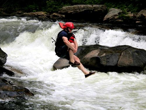
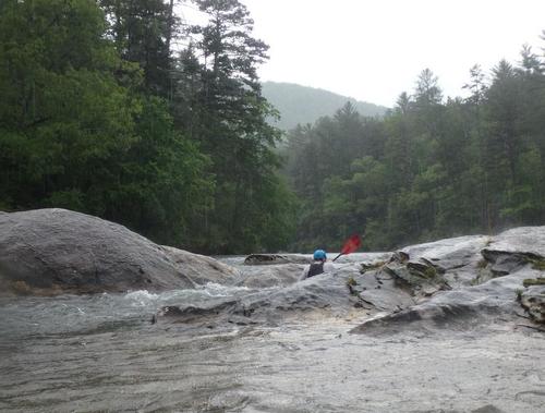
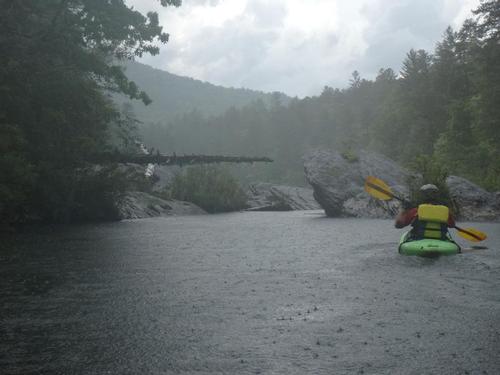
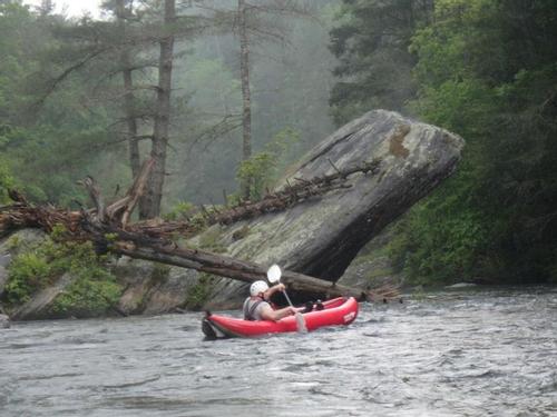
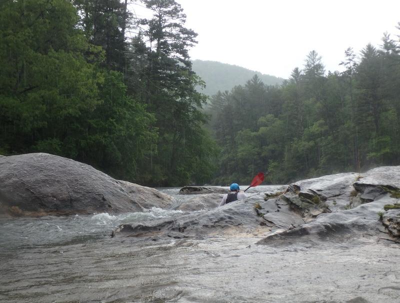
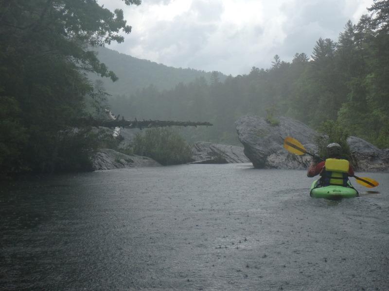
The Chattooga is South Carolina's classic whitewater destination. Section III is a beautiful section of river with intermediate to advanced whitewater. Since the Chattooga is a National Wild and Scenic River the river corridor is protected by a 1/4 to 1/2 mile buffer zone where developement is not allowed. There are few permanent signs of humans from the route 28 bridge to route 76 bridge. You may see tents and a campsite or two but no roads, houses, convenience stores, or fast food restaurants.

Access
Put in:
Earls Ford
 Earls Ford has a trailhead, river access, and camping access. Walk down the trail to the river.
Take out:
Highway 76 Bridge Access
Access Details

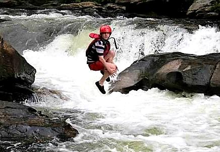
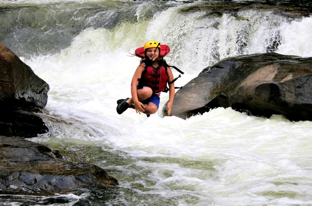
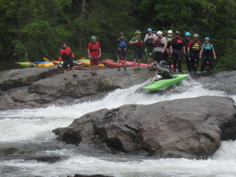
Large, paved parking lot, restrooms, trailhead, and an overlook of the Chattooga River. A short walk upstream lets you observe boaters take on Bull Sluice, a large IV+ rapid just upstream of the Highway 76 access. 

Trip Details

The access points (other than those at the bridges) are set back 1/4 mile or further from the river so that you will have to carry your boat for a while. There is a self-permit system (no fee), where you fill out the form, drop a copy at the box near the put-in and carry the other copy with you down the river.

For more detailed information on whitewater along the Chattooga, visit the American Whitewater page. 

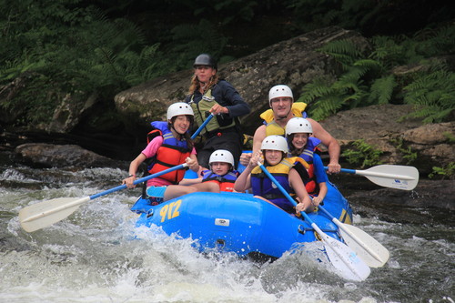
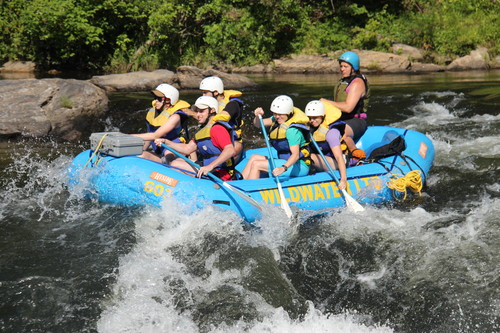
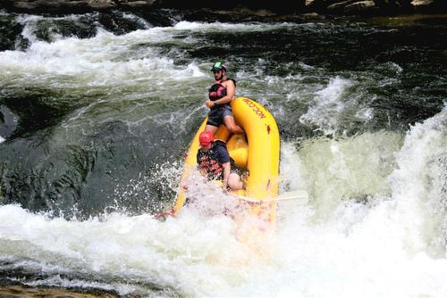
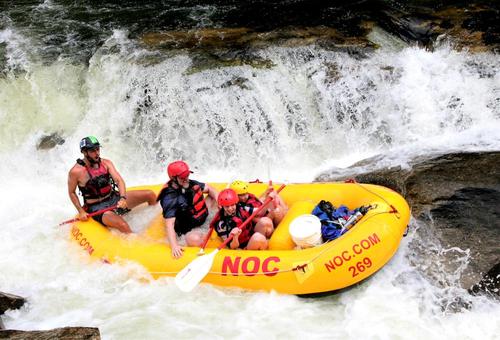
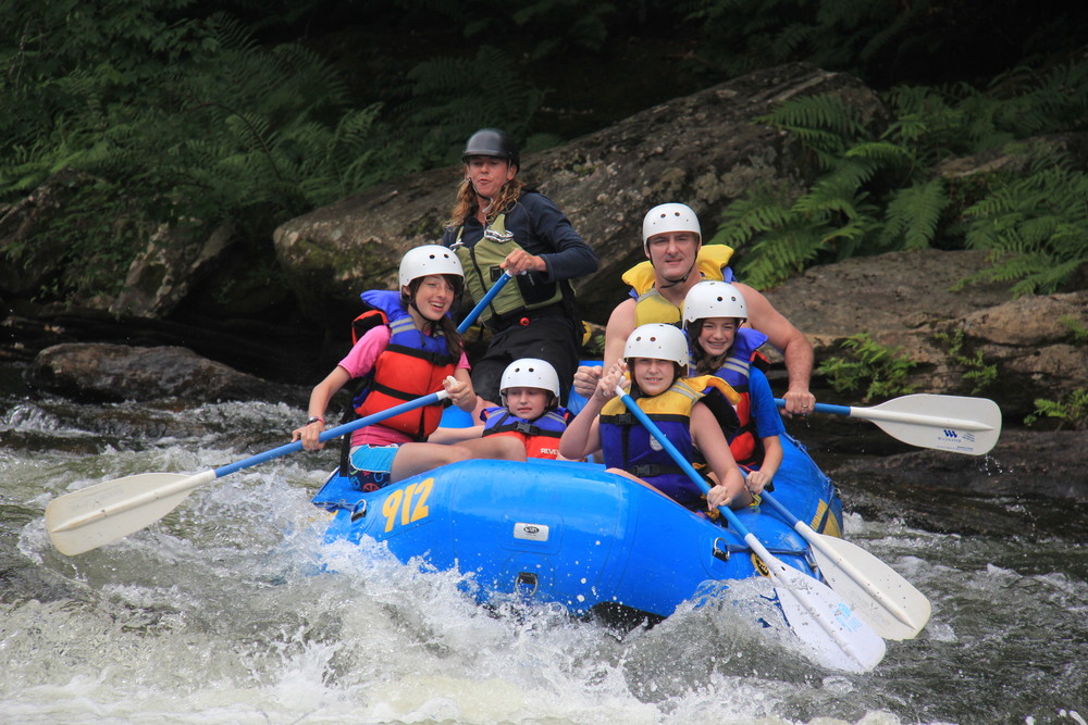
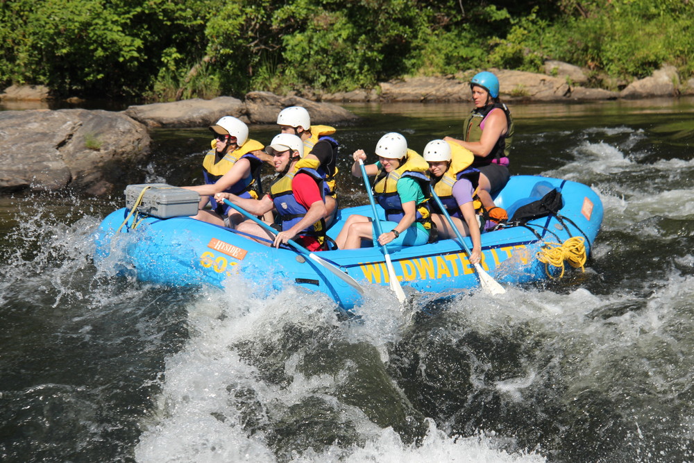
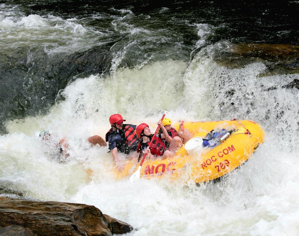
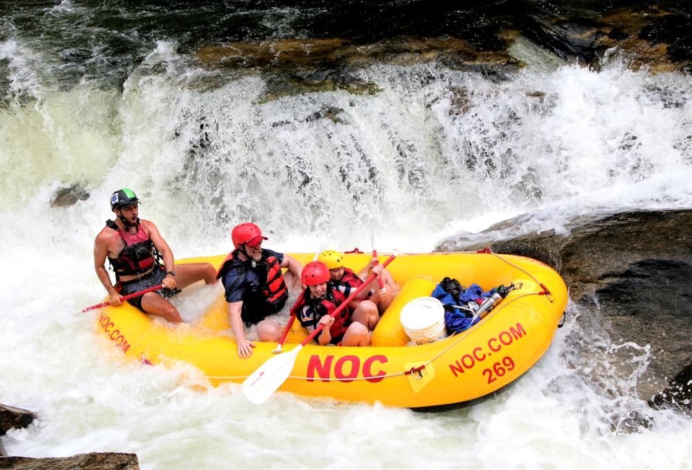
There are a number of outfitters available on the Chattooga River for guided whitewater rafting trips for people of all experience levels. 

Waterway: 
Upstream Trip (1)
Downstream Trip (1)

Comments (1)

Please Sign In or Create Account to add your photo to this trip
Krzysztof Zaryczny
Aug 16, 2021 3:05 pm EDT
8/14/21 - Kayaked bottom section 3.5 at 1.45ft online, 1.2ft hwy 76 gauge. It was "bony" in some spots where some scooting was needed. Beautiful river, but the put-in / take-out was a hike... Scouted Bull Sluice prior to running it.
Please Sign In or Create Account to add your photo to this trip
(Credit: Whetstone Photo & Wildwater Adventure)
Gettin' vertical (Credit: NOC STAFF)
Made it. (Credit: NOC STAFF)
In the clear (Credit: NOC STAFF)
Goofing around beneath the falls (Credit: NOC STAFF)
More goofing around (Credit: NOC STAFF)
Dad tried it. (Credit: NOC STAFF)
(Credit: pcumalander-frick)
Dick's Creek Ledge (Credit: pcumalander)
Trip Resources
Download map files for your own use. Learn more
River Flow (FT)
Discharge flow information
CURRENT FT
Flows for safe padding (ft)
MINIMUM
1.5
MAXIMUM
3
X Close
Skill Level
Easy
Moderate
Difficult
Advanced
Learn more
X Close
Flow Level
Runnable
Above Runnable
Below Runnable
No Information
Learn more
X Close
Skill & Flow Level
Easy
Moderate
Difficult
Advanced
Runnable
Above Runnable
Below Runnable
No Information
X Close
Access Amenities
Parking - Dedicated Lot
Parking - Roadside
Restroom / Toilets
Fee Required
Handicap Accessible
Camping
Paddle SC is presented by
Upstate Forever
South Carolina Department of Natural Resources
South Carolina National Heritage Corridor
Rainey Foundation