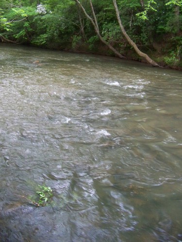
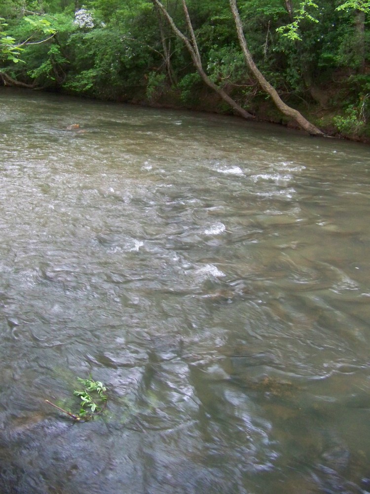
As the Twelve Mile River nears Lake Hartwell, its waters begin to pick up in speed. There are a few Class I and II rapids along this scenic stretch of the River.
Limited roadside parking is available along busy road. Please use caution and keep the road clear for passing vehicles. A trail leads from the road-side downstream of bridge to the river bank on river-left. This access is unofficial. Use at your own risk.
Parking at Critters Creek is provided by Easley Central Water District and is open from sunrise to sunset. Please do not park along Critters Creek Road. The parking area is located immediately to the left of the entrance of the road, river-right.
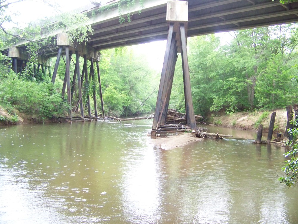
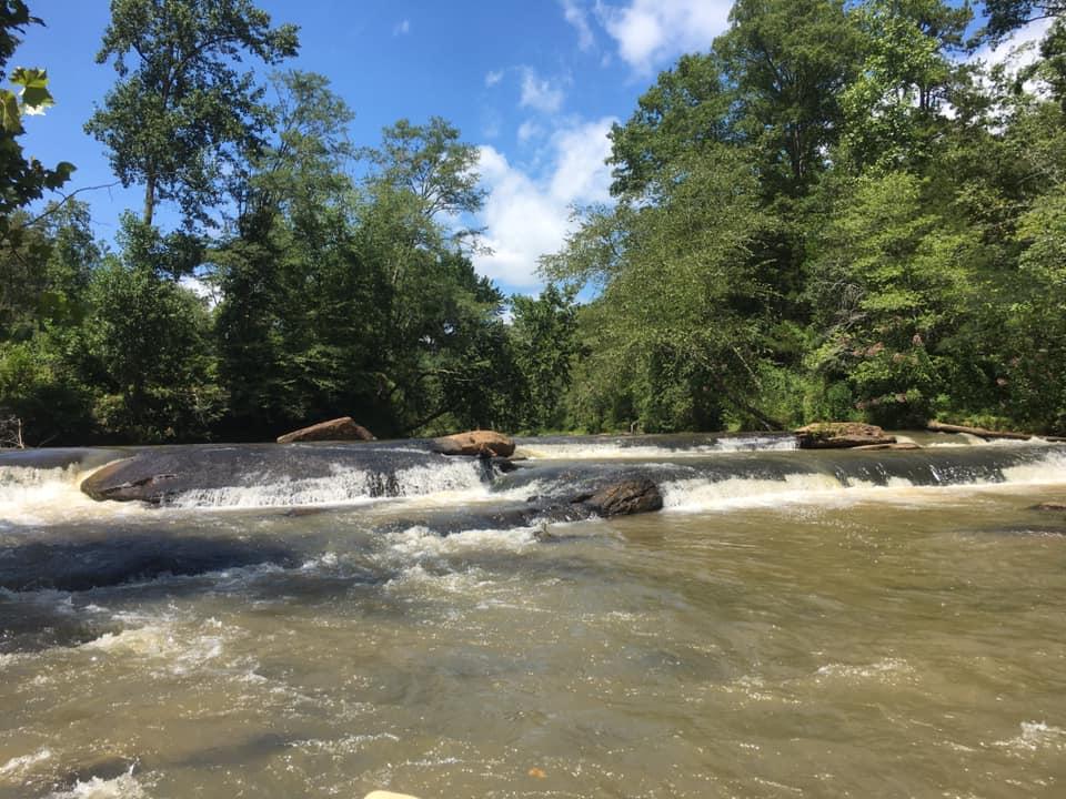
This trip ends at the Easley Central Dam, requiring portage from the take-out to the parking area. The take out at the Dam is less than 10 minutes from Liberty Highway. Limited roadside parking is available along Liberty Highway on the downstream left side of the bridge. A trail leads from the roadside to the banks and can be steep. Once on the river, paddlers will experience occasional ripples and Class I-II rapids. About three miles into the trip, paddlers will cross under the Robinson Bridge Road bridge; after this bridge, the water is mostly flat as it is impounded by the Easley Central Dam. Portage around the dam is required. Upon nearing the dam, stay to the right side of the river. Portage is available river-right. Exit the river well before the dam and follow the trail to the parking lot. If you wish to continue your trip, but back in at a point below the dam on the right side of the river. Note that the section from the dam to the Lay Bridge Road take out requires Intermediate skill level. For more information, visit: https://www.americanwhitewater.org/content/River/detail/id/4343/.


Comments (1)