Paddle SC
Camping Fee Required Handicap Accesible Parking- Dedicated Lot Roadside Parking Restrooms / Toilets

Upper Saluda River: Hunts Bridge Road (Unofficial) to Saluda Lake Landing

Scroll down for more details
Legend
Hide All

Upper Saluda River: Hunts Bridge Road (Unofficial) to Saluda Lake Landing

Skill Level: Easy
Loading 
Rapids: Class I
Length: 6.80 miles
Duration: 3.5 - 7 hours
Portaging: No
What to Expect

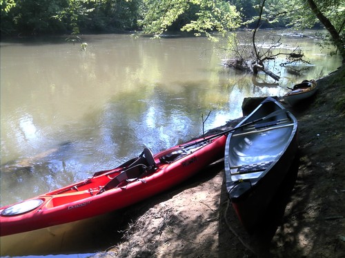
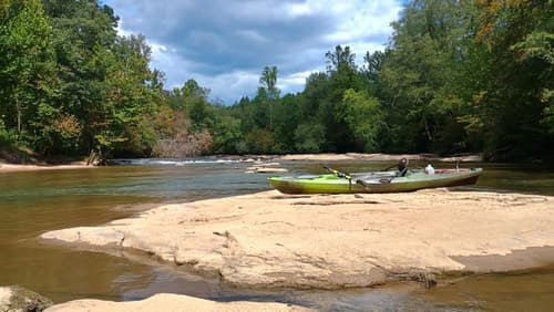
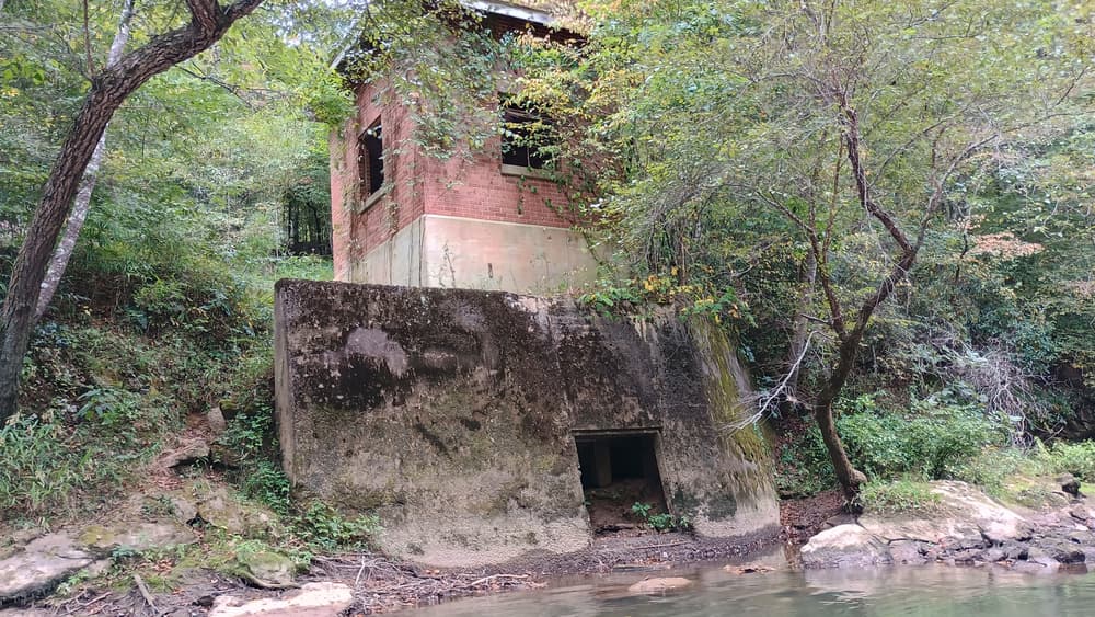
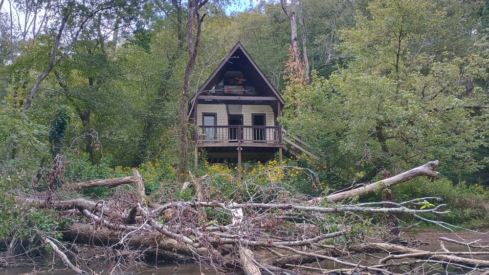
This trip is the first along the main stem of the Saluda River and is scenic and quiet with very slow moving waters. As the Saluda River enters Saluda Lake, the channels broaden and the water stills. Scenery includes wildlife, great fishing locations, and rural countryside.

Alternate River Access: Saluda Lake Access off of Buckskin Road, Easley, SC

Access
Put in:
Hunts Bridge Road River Access and Roadside Parking (Unofficial)
 899 Hunts Bridge Road, Easley, SC 29640
Access Details

Access is downstream of the Old Hunts Bridge Road bridge, river-right. The banks are steep; use caution. Park along Hunts Bridge Road, river-right. This access is unofficial but regularly used. Use at your own risk.

Take out:
Saluda Lake Landing Access and Parking Area
 605 Motor Boat Club Road, Greenville, SC 29611
Access Details

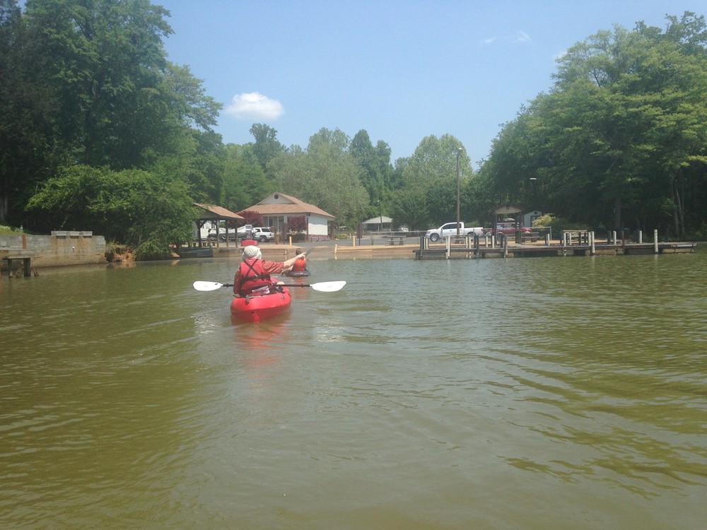
This boat ramp and parking lot can be used for a small fee. If paddling downstream, the ramp is river/lake-left. 

Trip Details

Saluda Lake Landing is 15 minutes away from Hunts Bridge Road, so shuttling cars could take close to half an hour. After putting in the river, paddlers will see suburban/rural scenery with an abundance of wildlife, particularly birds. The first road crossing is Farrs Bridge Road, just before the Saluda River enters Saluda Lake. Once the channel broadens, follow the left side of the river until you reach Saluda Lake Landing. The Saluda Lake Access, 1.3 miles downstream, is an alternative take out, located at 322 Buckskin Road, Easley, SC 29640. Saluda Lake Landing (or Saluda Lake Access) is the last take out before the Saluda Lake Dam. No portage is available at this time. Re-enter the river below the dam at the Saluda Dam Road River Access. For more information see The Upper Saluda River Blueway map.

Waterway: 

Comments (0)

Please Sign In or Create Account to add your photo to this trip
small rapids along the trip (Credit: Upstate Forever)
paddling into Saluda Lake Landing (Credit: Upstate Forever)
put in at Hunts Bridge Road (Credit: Upstate Forever)
scenery along the trip (Credit: Upstate Forever)
Trip Resources
Download map files for your own use. Learn more
River Flow (FT)
Discharge flow information
CURRENT FT
Flows for safe padding (ft)
MINIMUM
2.2
MAXIMUM
8
X Close
Skill Level
Easy
Moderate
Difficult
Advanced
Learn more
X Close
Flow Level
Runnable
Above Runnable
Below Runnable
No Information
Learn more
X Close
Skill & Flow Level
Easy
Moderate
Difficult
Advanced
Runnable
Above Runnable
Below Runnable
No Information
X Close
Access Amenities
Parking - Dedicated Lot
Parking - Roadside
Restroom / Toilets
Fee Required
Handicap Accessible
Camping
Paddle SC is presented by
Upstate Forever
South Carolina Department of Natural Resources
South Carolina National Heritage Corridor
Rainey Foundation