Paddle SC
Camping Fee Required Handicap Accesible Parking- Dedicated Lot Roadside Parking Restrooms / Toilets

North Saluda River: Les Mullinax Park to River Road

Scroll down for more details
Legend
Hide All

North Saluda River: Les Mullinax Park to River Road

Skill Level: Easy
Loading 
Rapids: None
Length: 2.50 miles
Duration: 1 - 1.6 hours
Portaging: No
What to Expect

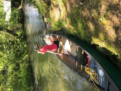
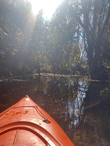
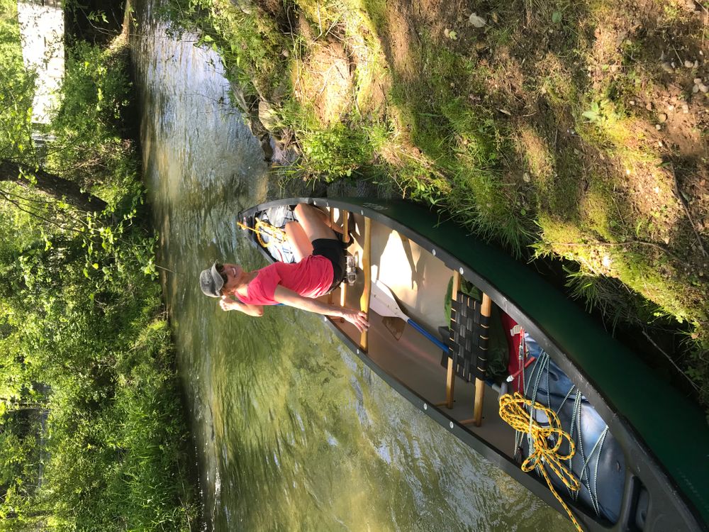
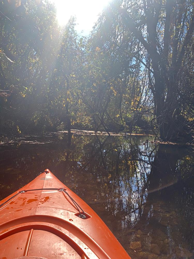
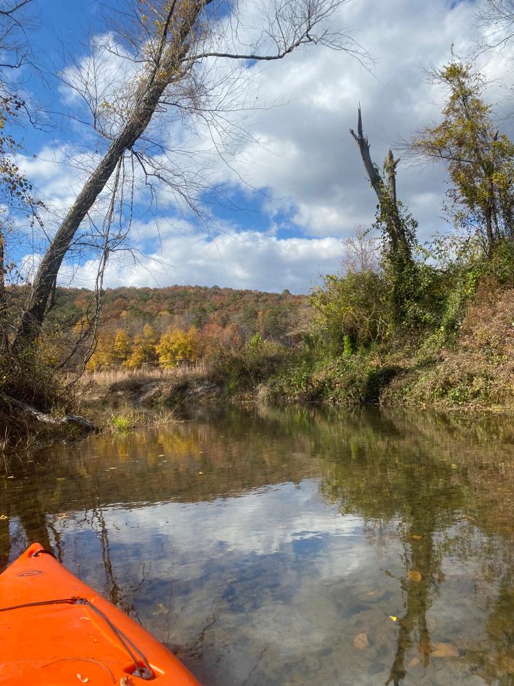
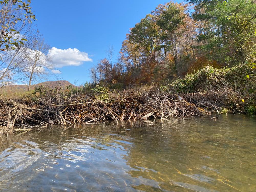
Close to the headwaters of the North Saluda River, this stretch is narrow and can be unpaddleable in low water. Paddlers can expect to see heavily wooded areas as well as rural mountain countryside.

Access
Put in:
Les Mullinax Park
 7 Dividing Water Road, Travelers Rest, SC 29690
Access Details

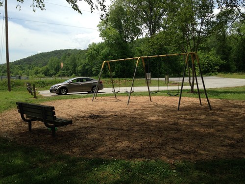
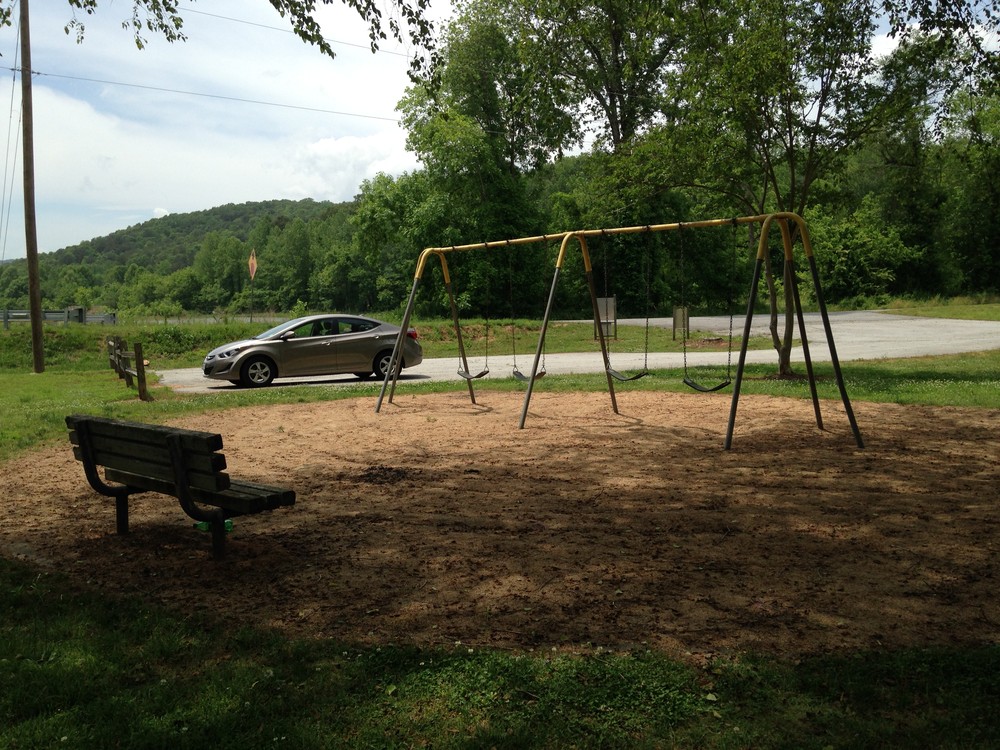
Park in the small lot next to the fire station. River access is river-right. This park has benches, swings, and picnic tables.

Take out:
River Road River Access and Parking Area
 295 River Road, Marietta, SC 29661
Access Details

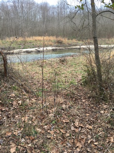
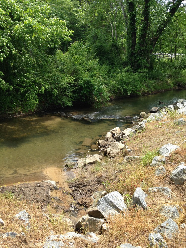
This river access is 600 feet west of the US 25 bridge, river-right. Pull cars completely off of the road and park in the clearing. Follow the trail 700 feet to the river.

Trip Details

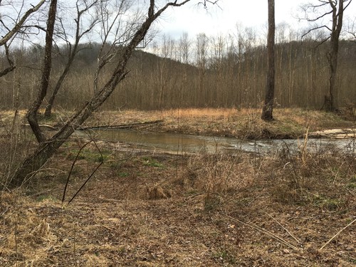
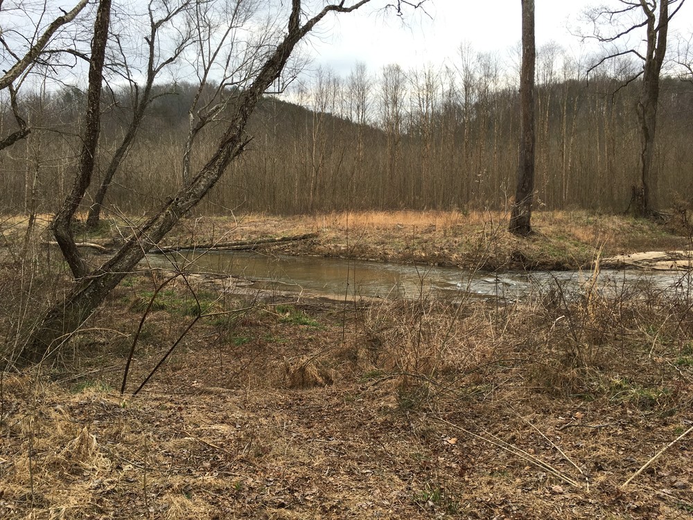
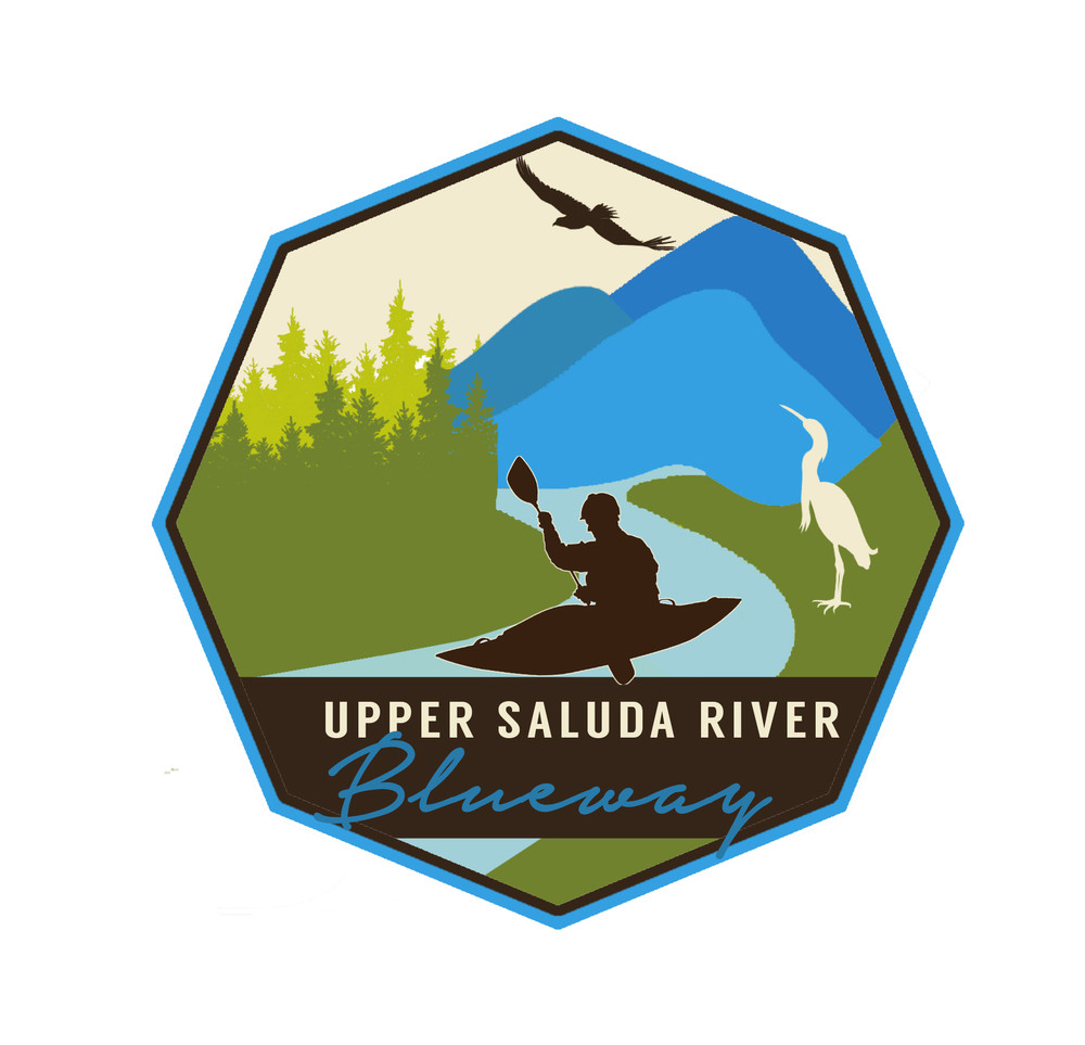
The River Road Access is only 5 minutes away, so shuttling cars would be quick and easy. This stretch is narrow and could become unpaddleable at lower water levels. There is a high potential for woody debris along this section; paddlers should use caution at all times. Take out is located river right. Portage boats 700 feet from the river to the clearing where cars can be parked. For more information see The Upper Saluda River Blueway map.

Waterway: 

Comments (3)

Please Sign In or Create Account to add your photo to this trip
Ashley Blough
Nov 03, 2022 10:25 pm EDT
Went from Les Mullinax park to Highway 11 on 11/3/22. About 5 1/2 miles according to my Strava. This website said below runnable, but I decided to try anyway. It was below runnable. Had to step out and push the kayaks over several debris piles and beaver dams. I wouldn’t have been able to do it if I didn’t have a friend to help. The first and worst spot is just a couple hundred feet down from Mullinax Park. Was able to manage getting over the beaver dams by crawling down below and then pulling my kayak over. After you cross under Highway 25, it gets much better. But the water levels were still low enough that I had to get out lots to get past rocky spots and sand bars. Took about 3 1/2 hours in total. Stashed bikes at the end and rode back to the car. Took about 40 minutes, but I’m a slow biker. I’m really glad I did this, but I would start from River Road next time and recommend anyone else do to.
Ashley Blough
Nov 03, 2022 10:24 pm EDT
Went from Les Mullinax park to Highway 11 on 11/3/22. About 5 1/2 miles according to my Strava. This website said below runnable, but I decided to try anyway. It was below runnable. Had to step out and push the kayaks over several debris piles and beaver dams. I wouldn’t have been able to do it if I didn’t have a friend to help. The first and worst spot is just a couple hundred feet down from Mullinax Park. Was able to manage getting over the beaver dams by crawling down below and then pulling my kayak over. After you cross under Highway 25, it gets much better. But the water levels were still low enough that I had to get out lots to get past rocky spots and sand bars. Took about 3 1/2 hours in total. Stashed bikes at the end and rode back to the car. Took about 40 minutes, but I’m a slow biker. I’m really glad I did this, but I would start from River Road next time and recommend anyone else do to.
Doug Churdar
May 04, 2020 8:37 am EDT
My wife and I paddled from Les Mullinax Park to Hwy 11 on 5/3/20. Water level was 149 CFS, which was plenty. Water quality was good. There were several downed trees which made for some challenges. The stretch through Cliffs Valley golf course was the easiest, thanks to maintenance along the river. Overall awesome stretch.
Please Sign In or Create Account to add your photo to this trip
North Saluda River at Les Mullinax Park (Credit: Upstate Forever)
Playground and Parking Area at Les Mullinax Park (Credit: Upstate Forever)
River Road Access (Credit: Upstate Forever)
North Saluda River at River Road access (Credit: Upstate Forever)
Putting in at Les Mullinax Park (Credit: Doug Churdar)
Beaver dam
Trip Resources
River Flow (CFS)
Discharge flow information
CURRENT CFS
Flows for safe padding (cfs)
MINIMUM
100
MAXIMUM
1000
X Close
Skill Level
Easy
Moderate
Difficult
Advanced
Learn more
X Close
Flow Level
Runnable
Above Runnable
Below Runnable
No Information
Learn more
X Close
Skill & Flow Level
Easy
Moderate
Difficult
Advanced
Runnable
Above Runnable
Below Runnable
No Information
X Close
Access Amenities
Parking - Dedicated Lot
Parking - Roadside
Restroom / Toilets
Fee Required
Handicap Accessible
Camping
Paddle SC is presented by
Upstate Forever
South Carolina Department of Natural Resources
South Carolina National Heritage Corridor
Rainey Foundation