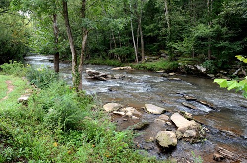
This stretch of Lawson's Fork Creek can vary in difficulty from Class II to IV rapids depending on water flow. Experienced paddlers can expect to encounter exciting rapids along a narrow channel as well as some shoals. Although the majority of this stretch doesn't include many rapids, only experienced paddlers should paddle this section due to a few larger rapids that would pose significant hazard to inexperienced paddlers. Be aware of possible woody debris and strainers.
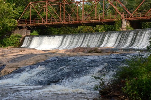
The Glendale Shoals Preserve is a joint effort of SPACE, GOLS, and Wofford College, consisting of 13 protected acres. Located at the end of Glendale Mill on Lawson's Fork Creek, the property is scenic, with a waterfall that cascades over a dam. There is a Class IV rapid after the dam that can be avoided by putting in 50 yards further downstream. The river access river-left on Glendale Avenue is a put-in only.
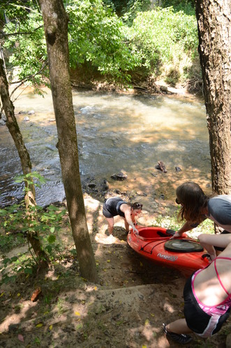
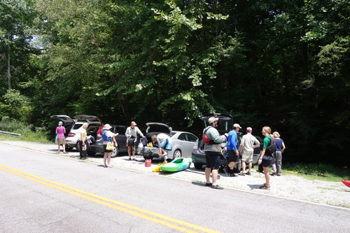
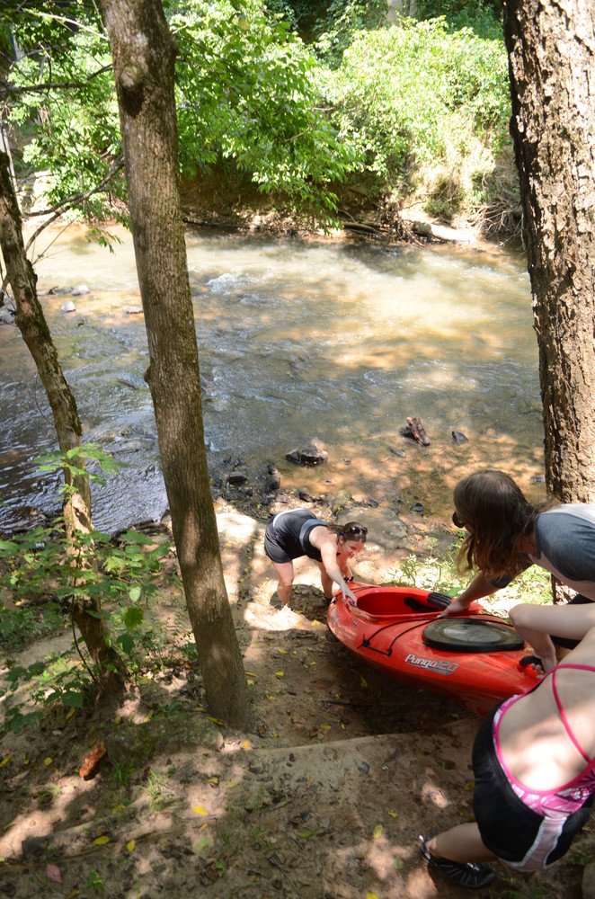
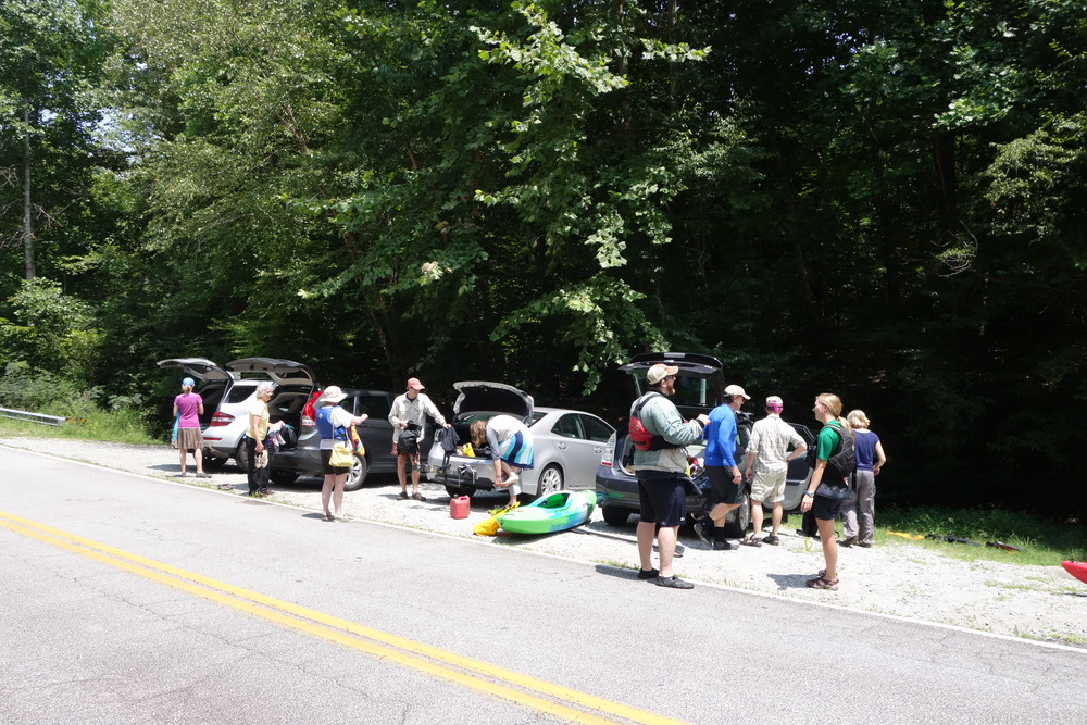
Located downstream of the Goldmine Road bridge, river-right. Paddlers can access the river by following the steep path along the bank down to the water, about 5 yards.
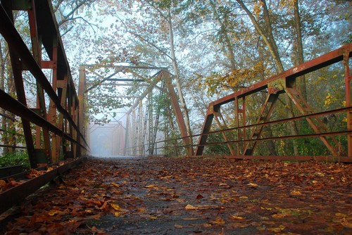
The Goldmine Road River Access is a 10 minute drive from the Glendale Shoals Preserve. Immediately below the Glendale Dam, there is a Class IV rapid that can be avoided by portaging 50 yards further downstream. River access is river right off of Emma Cudd Road. There is another river access river left across the Glendale Bridge. Once on the river, rapids vary from Class II to Class IV depending on flow; this stretch is not recommended for beginners. Paddlers should be aware of swift moving water and possible wood and debris strainers on this section. Goldmine Road is the first bridge paddlers will come across, and should exit the river downstream of the bridge, river right. For additional information, view Upstate Forever's Pacolet River and Lawson's Fork Creek Blueway Map.


Comments (0)