Paddle SC
Camping Fee Required Handicap Accesible Parking- Dedicated Lot Roadside Parking Restrooms / Toilets

Enoree River: Union Highway (Unofficial) to Battle of Musgrove Mill Historic Site

Scroll down for more details
Legend
Hide All

Enoree River: Union Highway (Unofficial) to Battle of Musgrove Mill Historic Site

Skill Level: Moderate
Loading 
Rapids: Class II , III
Length: 6.40 miles
Duration: 3.5 - 4 hours
Portaging: No
What to Expect

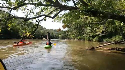
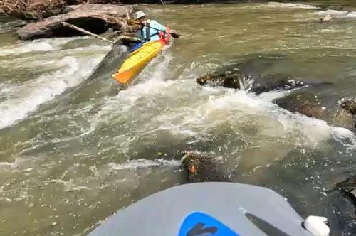
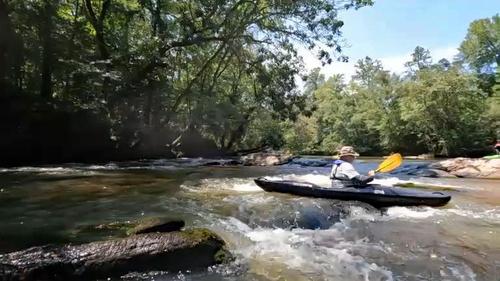
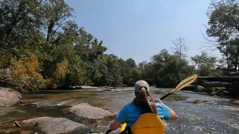
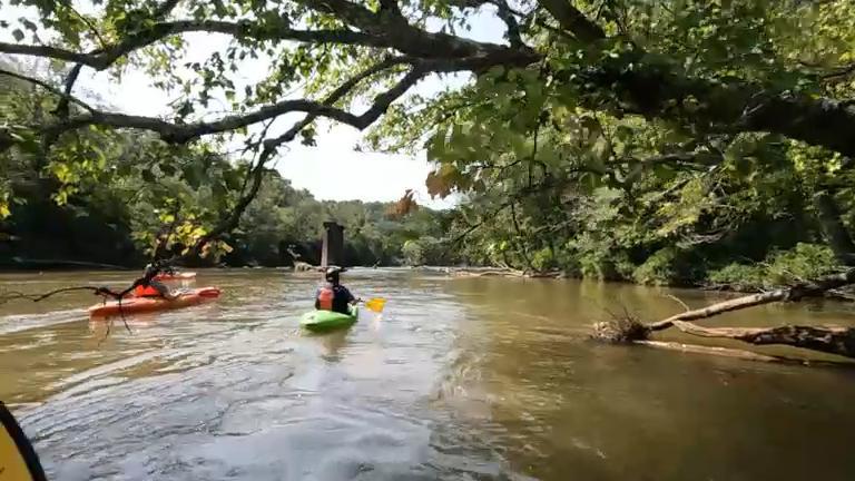
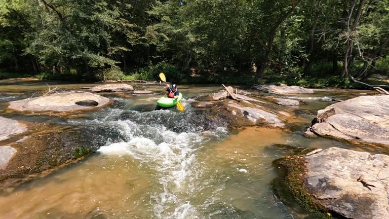
This trip is characterized by exciting Class I and II rapids along with long stretches of flatwater. Primarily rural in nature, paddlers will see forested riverbanks.

Access
Put in:
Union Highway Enoree River Access and Roadside Parking (Unofficial)
Access Details

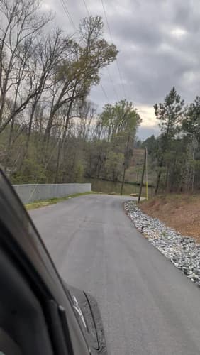
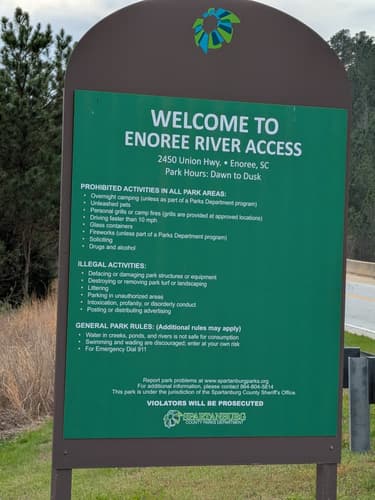
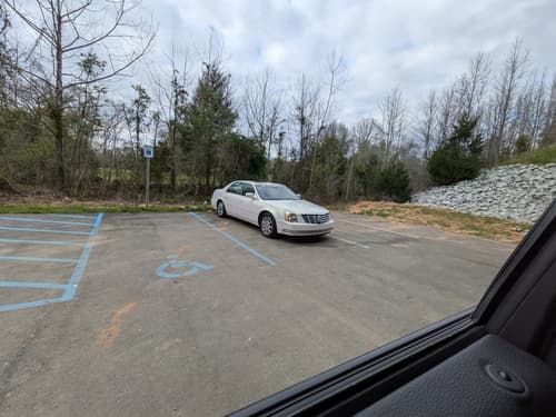
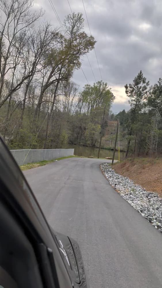
Put-in downstream of the Union Highway (Hwy 49) bridge, river-left. A paved drive connects to the Highway about 300 feet north of the bridge and leads to a small parking area at the river. If the gate is closed, park along the road's shoulder away from the guardrails and walk boats down to the river.

Take out:
Battle of Musgrove Mill River Access and Parking Area
 725 Horseshoe Falls Road, Enoree, SC 29335
Access Details

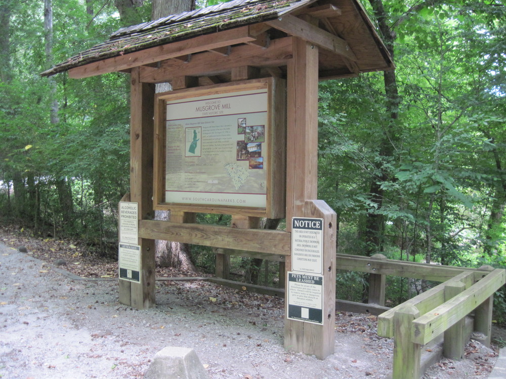
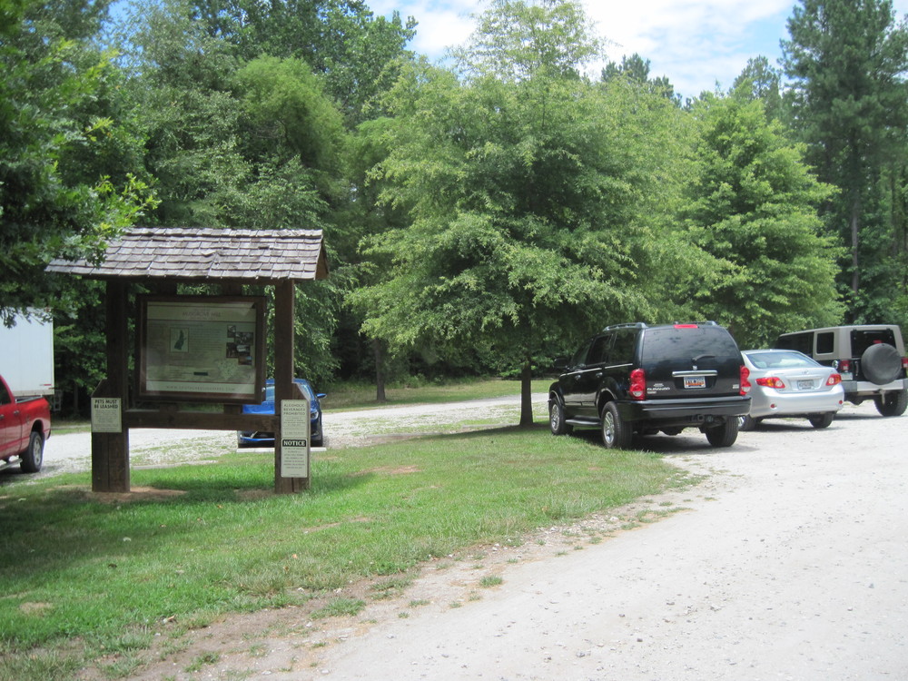
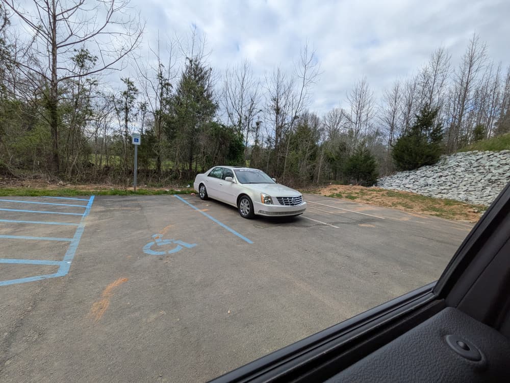
The Horseshoe Falls Road area is open from 9 AM - 6 PM daily. Admission to Battle of Musgrove Mill Historic Site is $3/day for adults, $1.50/day for seniors (65+), and $1/day for kids (5-15); kids under 5 are free. Overnight parking is permitted by permit only which can be obtained at the Visitor's Center or by emailing mgmillsp@scprt.com or calling 864-938-0100. Visit SC Parks website for more information. 

Trip Details

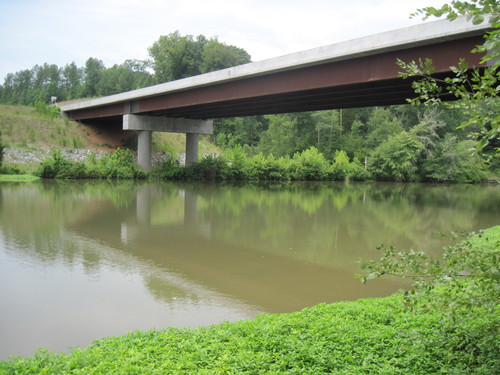
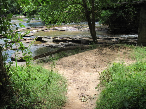
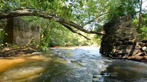
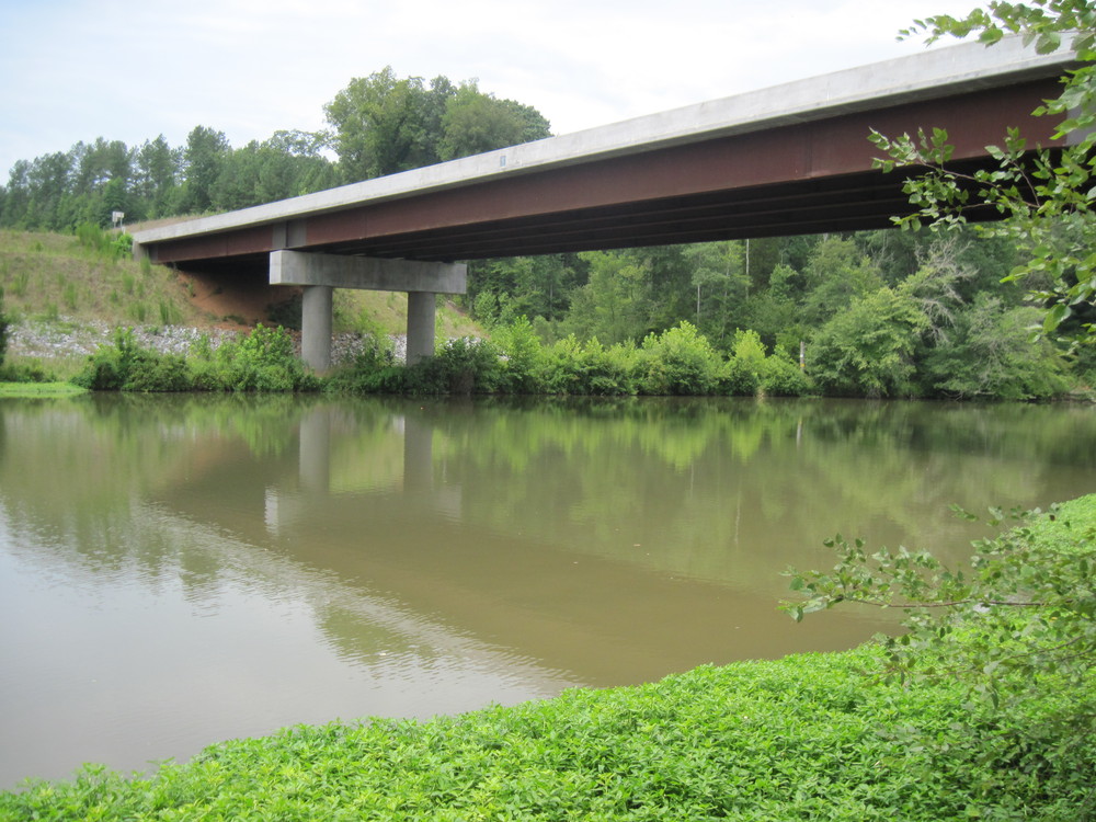
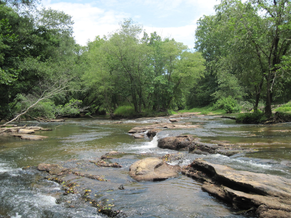
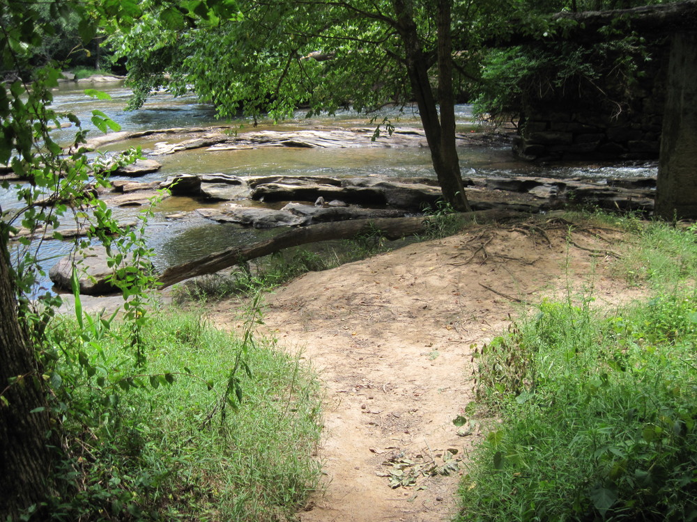
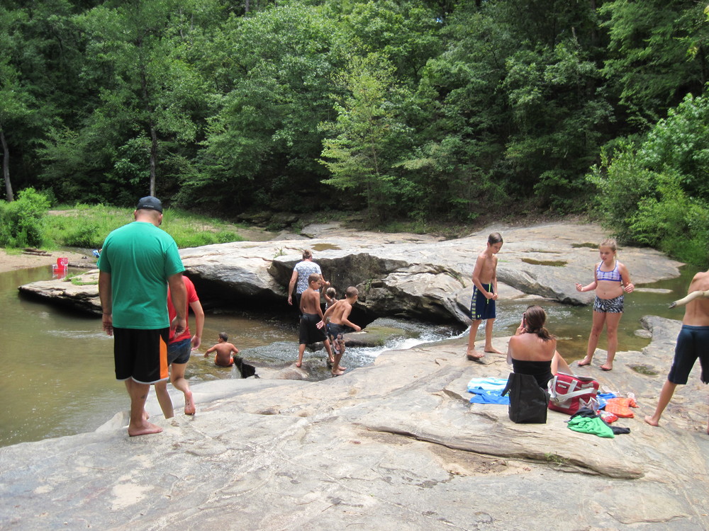
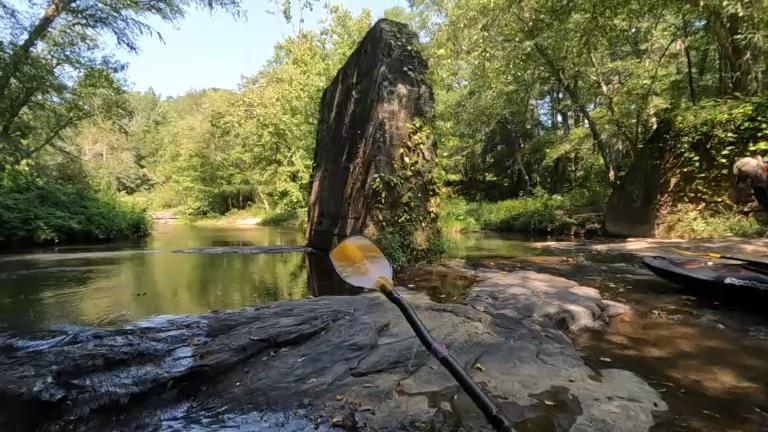
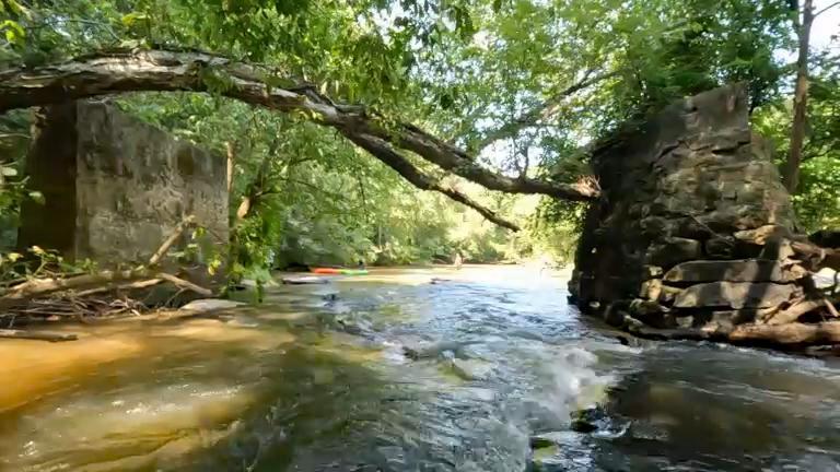
The canoe launch at Battle of Musgrove Mill Historic Site is less than 10 minutes away from Union Highway making shuttling cars easy and quick. After putting in, paddlers will experience some exciting Class II-III rapids extending 3,000 feet. After the rapids, the river is primarily flatwater until the take out, with intermittent ripples. Paddlers will only cross under one bridge, the Interstate 26 bridge, about halfway through the trip.There are rapids for 200 feet above the take out; paddlers should follow the left side of the river to the canoe launch river left.

Waterway: 

Comments (2)

Please Sign In or Create Account to add your photo to this trip
Paula Cumalander
Mar 31, 2026 8:22 pm EDT
Paddled in Aug 2023 Water level was 199 cfs which was below minimum. The first 1.4 mile was technical and rocky. There is a creek to the right below this called Warrior Creek that has a little waterfall and ruins of an old bridge. Some good class 1 & 2 rapids which would be 3's at higher water. After that it was flat water. Lots of flat water...about 4 miles of it. Sandy in the middle of the river. We had to walk a couple of times. Then it picked up a little moving water and some more rapids at the end. Take out is either before or after the bridge pilings on river left. Small parking area (maybe 3 cars).
Paula Cumalander
Mar 31, 2026 8:11 pm EDT
March 2026. The gate is now unlocked and the Union Hwy Access is an official access now that is paved and has 3 parking spaces. The road is wide enough to park cars to unload.
Please Sign In or Create Account to add your photo to this trip
Union Highway (Credit: Upstate Forever)
Enoree River at Horseshoe Falls access (Credit: Upstate Forever)
Horseshoe Falls River Access (Credit: Upstate Forever)
Horseshoe Falls (Credit: Upstate Forever)
Horseshoe Falls Parking Area (Credit: Upstate Forever)
(Credit: pcumalander)
(Credit: pcumalander-frick)
Old Bridge ruins on Warrior Creek (Credit: pcumalander-frick)
Low water 199cfs (Credit: pcumalander-frick)
(Credit: pcumalander-frick)
Take out (Credit: pcumalander-frick)
2026 March, new road going into Union Hwy Access (Credit: pcumalander-frick)
2026 March, Now an official access at Union Hwy (Credit: Pcumalander-frick)
2026 March.  Parking 3 spaces and 1 handicap at Union Hwy Access (Credit: Pcumalander-frick)
Trip Resources
Download map files for your own use. Learn more
River Flow (CFS)
Discharge flow information
CURRENT CFS
Flows for safe padding (cfs)
MINIMUM
250
MAXIMUM
1500
X Close
Skill Level
Easy
Moderate
Difficult
Advanced
Learn more
X Close
Flow Level
Runnable
Above Runnable
Below Runnable
No Information
Learn more
X Close
Skill & Flow Level
Easy
Moderate
Difficult
Advanced
Runnable
Above Runnable
Below Runnable
No Information
X Close
Access Amenities
Parking - Dedicated Lot
Parking - Roadside
Restroom / Toilets
Fee Required
Handicap Accessible
Camping
Paddle SC is presented by
Upstate Forever
South Carolina Department of Natural Resources
South Carolina National Heritage Corridor
Rainey Foundation