Expect woody debris on this trip.
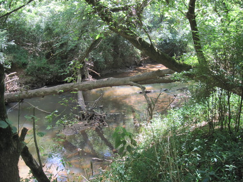
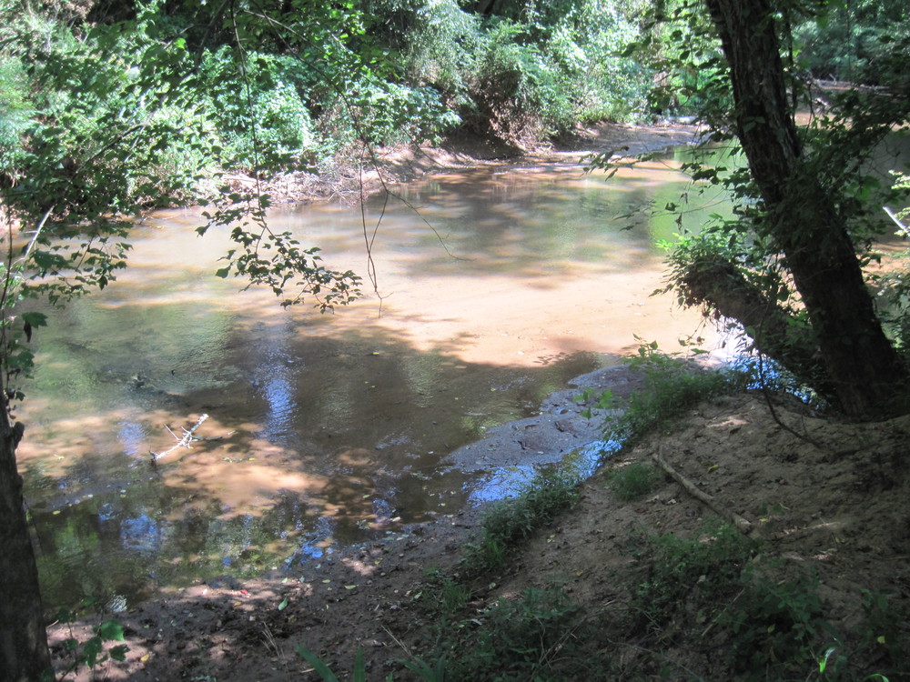
Although a conveniently located paddle trip, this section may have a lot of woody debris, especially at lower water levels. This trip has a few Class I-II rapids and is very scenic, but beware of fallen trees!
This unique park is at the end of Mill Street at the Taylors Mill property, river-right. It currently features a disc golf course; future plans include a playground and a sand volleyball court. The river is accessible from the disc golf course. This access will open as soon as sewer infrastructure improvements are complete (anticipated opening 2017). Check for updates.
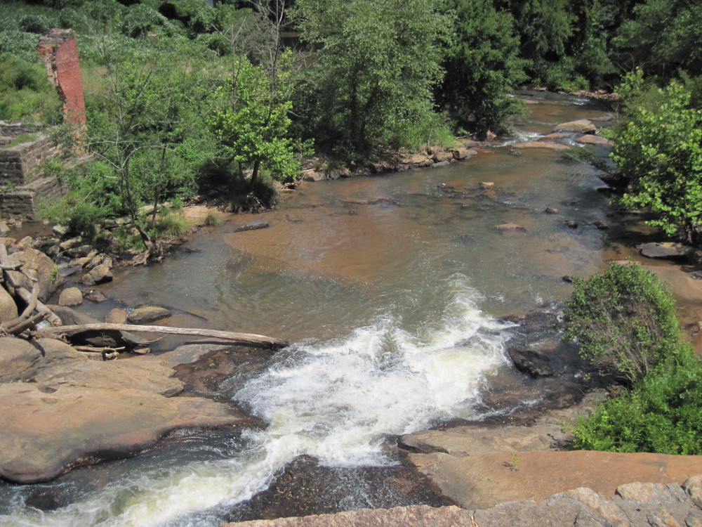
This park's focal point is the Enoree River and an overlook where visitors can view architectural remains of the first textile mill in Greenville County (outside the City limits). River access is downstream of the masonry dam, river-left.
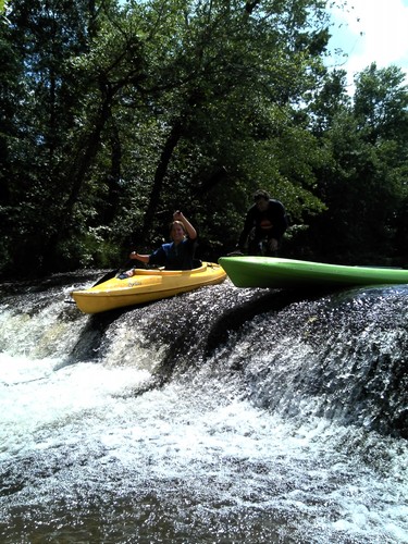
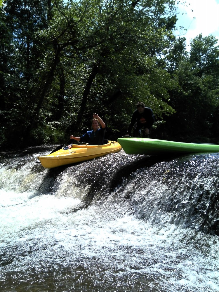
The two parks are 20 minutes apart, so shuttling cars could take about 45 minutes. Conveniently located, the Taylors Mill and Pelham Mill Parks are great river accesses, however this stretch of river is infrequently paddled - mainly due to high amounts of woody debris. This trip is not impossible, but paddlers should be ready to portage frequently. After putting in at the Park at Taylors Mill, paddlers will cross under 6 bridges before reaching the Pelham Mill Park. Along the way are sections of shoals and flatwater. A concrete structure is located after the fourth bridge (Dillard Road); paddlers should stay to the left and follow the narrow channel on the left side of the river. A river-wide rock formation/waterfall is located before the last bridge and has a 1-2 foot drop. Upon nearing Pelham Mill Park, paddlers should exit the river well before the river flows through the channels of the Pelham Mill Dam. The banks can be steep, especially in low water. After exiting the river, there is a portage from the river to the parking lot up to 2,000 feet depending on where paddlers exit the river. A path can be followed along the river bank to the parking lot.


Comments (0)