Paddle SC
Camping Fee Required Handicap Accesible Parking- Dedicated Lot Roadside Parking Restrooms / Toilets

Broad River: Ninety Nine Islands River Access to Worth Mountain WMA

Scroll down for more details
Legend
Hide All

Broad River: Ninety Nine Islands River Access to Worth Mountain WMA

Skill Level: Easy
Loading 
Rapids: Class I
Length: 7.80 miles
Duration: 4 - 4.5 hours
Portaging: No
What to Expect

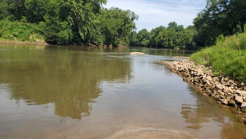
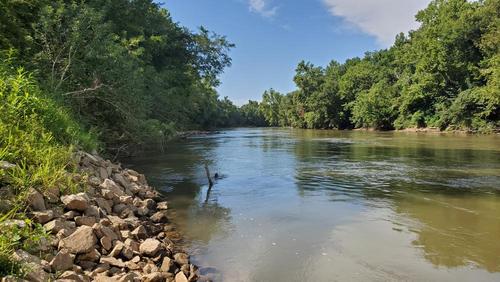
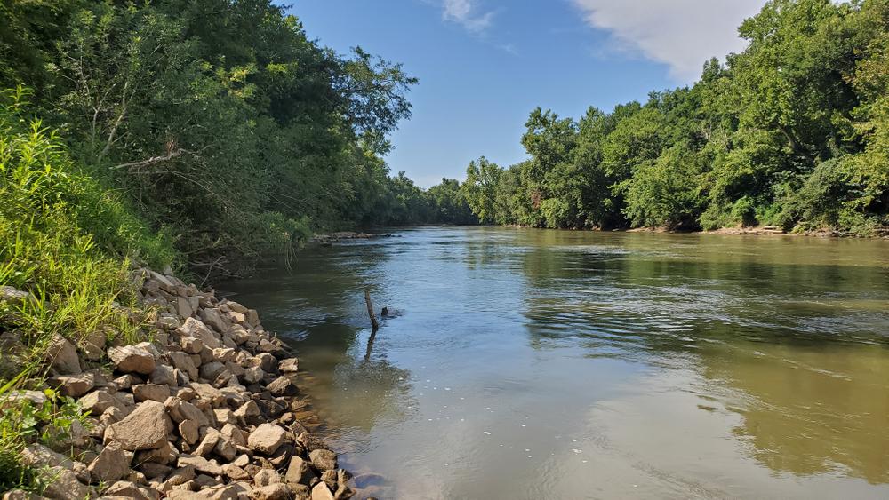
Characterized by wide channels and easy Class I rapids, this trip is great for beginners and families and would make a great half-day trip. Although easy paddling, the depth of the river can vary along this section, so paddlers should be proficient swimmers and wear PFDs at all times.
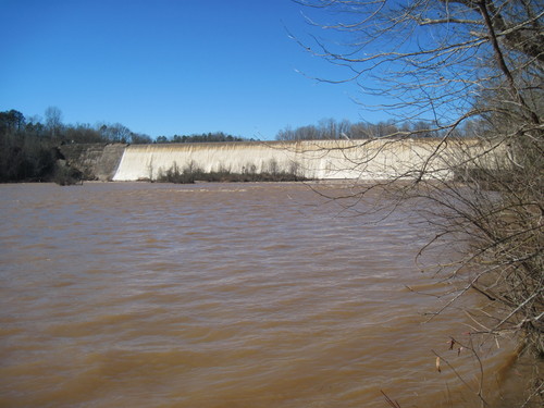
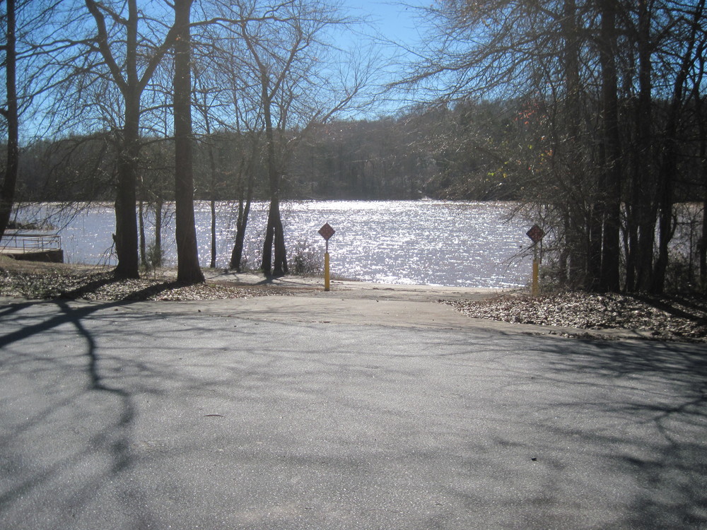
Access
Put in:
Ninety-Nine Islands River Access and Parking Area
Access Details

Located river-left. this boat ramp and small parking area is downstream of  the 99 Islands Dam, next to the powerhouse. This public landing on the western bank of the river below the dam and provides a boat ramp and parking area. This site is roughly one-quarter mile downstream, on the opposite riverbank from the previous site listed. It’s located at the end of Ninety Nine Ferry Road (State Road 13) which extends from McKowns Mountain Road in Cherokee County.
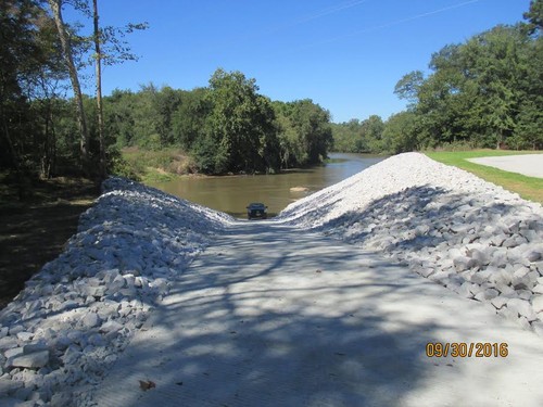
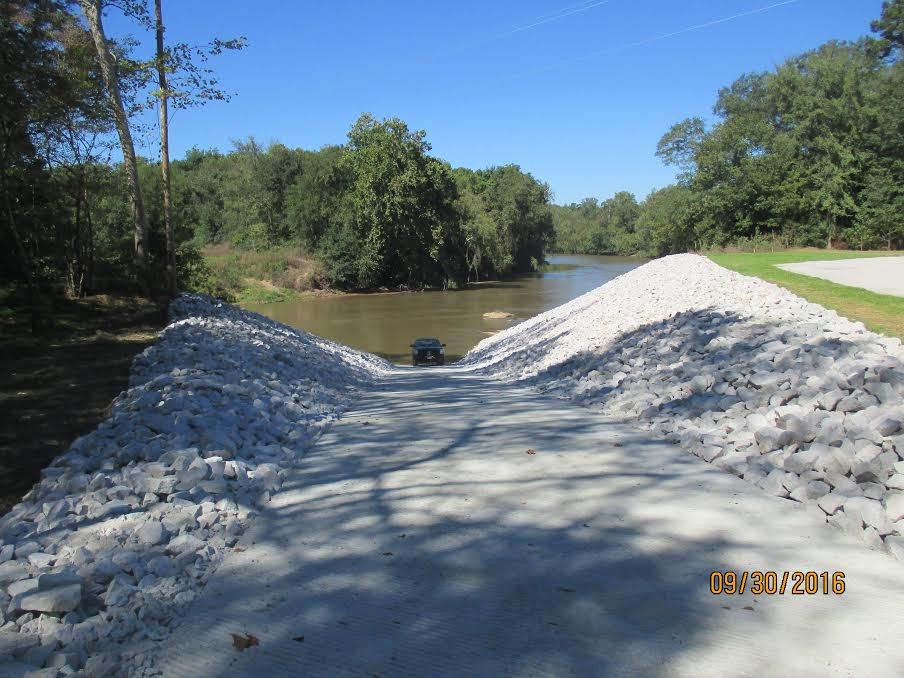
 Boating distance from either of the above listed sites to the next downstream access location at Lockhart Dam is about 20 river miles.

Take out:
Worth Mountain WMA
Access Details

This river access includes a parking area and concrete boat ramp. Check here for updates and additional information.

Trip Details

From Ninety-nine Island Road, bear left to the boat ramp, away from the dam's facilities which will be on the right. The take out is a 25-minute drive away, so shuttling cars to the take out and back could take close to an hour. This trip will feel extremely rural and quiet, with the first and only bridge 7.3-miles downstream of the put in. The take out is 0.3 miles after the bridge, river-left, along the power line crossing. Paddlers will experience primarily flat water intermixed with some Class I rapids.

Waterway: 

Comments (2)

Please Sign In or Create Account to add your photo to this trip
Mirabel Fant
Aug 03, 2023 11:04 am EDT
This river is very rural and beautiful. We ran it almost at its minimum flow rate, sitting at 2.8 according to paddle sc. Due to that, I think the first two sets of rapids were more intense than they might've been with a bit more rain. Continuous class I rapids for half then slows down a lot and is very calm and flat for the rest of the trip. Was my first go at any sort of rapids, I was having a lot of anxiety and honestly wasn't expecting it to be as rough in the beginning, but it turned out to be very easy to navigate and gets easier and calmer the further you go. Honestly, it sounds a lot more intense than it ends up being. The put in/out areas are very accessible and easy to use, I will say the end landing has a big rock right where you are trying to steer to get out so be mindful of that. Great trip!
James McCall
Jul 05, 2021 12:44 pm EDT
The Map for the put-in is misleading. Do not put in at the 99 Island Boat Launch as show on the above google map link. The address works, but instead, drive to the end of the road (dead ends at a power station below the dam). Turn left down a small gravel drive and there is a second boat launch below the dam. Note -- if you put in above the dam there is NO portage. There is sign that says kayak portage, but when you walk the trail there is a large fence and gate with no access. You must put in below the dam. (we learned the hard way and had to paddle back up and reload all of our boats/gear to drive below the dam). The rest of the trip is nice, fairly shallow in some spots but we have not had much rain lately. We saw multiple river otters playing and geese/ducks.
Please Sign In or Create Account to add your photo to this trip
Boat Launch at Ninety Nine Islands River Access (Credit: Upstate Forever)
Ninety Nine Islands Dam (below) (Credit: Upstate Forever)
Worth Mountain Wildlife Management Area Boat Launch
Dalton's Landing bottom of the ramp (Credit: Thomas Constant)
Downstream view (Credit: Thomas Constant)
She is a better paddler than I am… (Credit: James McCall)
Trip Resources
River Flow (FT)
Discharge flow information
CURRENT FT
Flows for safe padding (ft)
MINIMUM
2.5
MAXIMUM
5.6
X Close
Skill Level
Easy
Moderate
Difficult
Advanced
Learn more
X Close
Flow Level
Runnable
Above Runnable
Below Runnable
No Information
Learn more
X Close
Skill & Flow Level
Easy
Moderate
Difficult
Advanced
Runnable
Above Runnable
Below Runnable
No Information
X Close
Access Amenities
Parking - Dedicated Lot
Parking - Roadside
Restroom / Toilets
Fee Required
Handicap Accessible
Camping
Paddle SC is presented by
Upstate Forever
South Carolina Department of Natural Resources
South Carolina National Heritage Corridor
Rainey Foundation