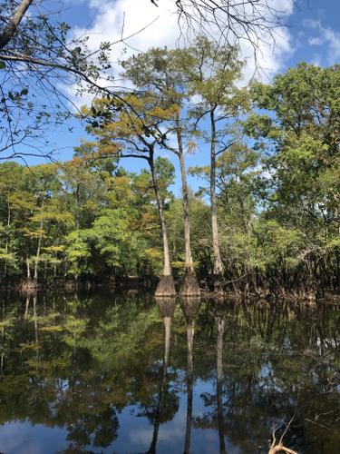
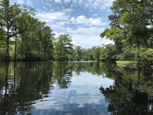
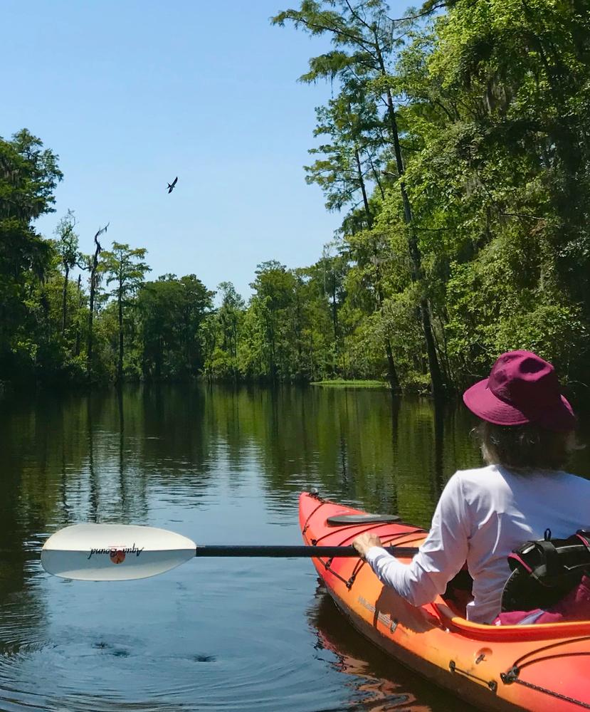
Travel along a beautiful blackwater river with opportunities to explore side channels into adjacent swamps with large cypress trees and rich in widlife.
This public landing is just downstream of the SC Hwy 41 Bridge crossing of Black River near the Town of Andrews and includes a large parking lot and boat ramp. The site is located at the north end of Reds Landing Rd, which is accessed from SC Hwy 41 (also named County Line Rd), about 1.5 miles north of Andrews just past a railroad crossing on SC Hwy 41. This landing has had many names over time; the two names mentioned (Pump House and Reds), as well as Potatoe Ferry Landing and Station Landing.
Do not confuse this site with the Old Pumping Station Landing, which is located about 11 miles downstream.
This public landing includes a parking area, dock, and boat ramp. The site is located at the end of Big Dam Swamp Rd, which is accessed from SC Hwy 41 (also named County Line Rd) about 1.5 miles north of the SC Hwy 41 Bridge crossing of Black River. The landing accesses the wider and deeper sections of the river and can be popular for use in launching larger powerboats.
This trip takes you through the Black River Swamp and the first half (Pump House to Pine Tree Landing) passes through a river section known as the "Narrows." Private conservation lands border this entire 10-mile river section and surround it (both sides) for nearly 8 miles, protecting ancient bald-cypress trees and breeding habitats for the rare swallow-tailed kite.
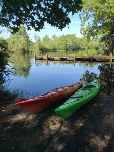
If a shorter trip is desired, the location of Pine Tree Landing provides the option of breaking this 10-mile section (from Pump House Landing to Pea House Landing) into two separate five-mile trips, with Pine Tree serving as the take out or the put in. Pine Tree Landing is a public access site with a parking area, dock, and boat ramp; it's on the north side of the river on a side channel, and not easily seen from the main channel of Black River. The landing is located at the end of Pine Tree Landing Road off Big Dam Swamp Road.
Tides will affect rivers flows downstream of the SC Hwy 41 Bridge. The tides will affect the speed of flows and travel times for paddlers on this trip and any other river trips further downstream. The timing of the tides affecting this river trip are estimated to be about one-hour delayed from the tide schedule presented at the NOAA tide station, Mt. Pleasant Plantation, Black River. This tide station is located on the Black River about two miles downstream of Pea House Landing.
The USGS streamflow station, Black River Near Andrews, provides information to describe river flows and water-level conditions on the Black River.


Comments (1)