Paddle SC
Camping Fee Required Handicap Accesible Parking- Dedicated Lot Roadside Parking Restrooms / Toilets

Beaufort Blueway: Port Royal to Beaufort

Scroll down for more details
Legend
Hide All

Beaufort Blueway: Port Royal to Beaufort

Skill Level: Moderate
Flow Level No Information
Rapids: None
Length: 6.20 miles
Duration: 3 - 5 hours
Portaging: No
What to Expect

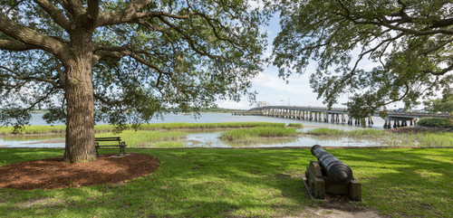
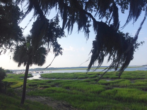
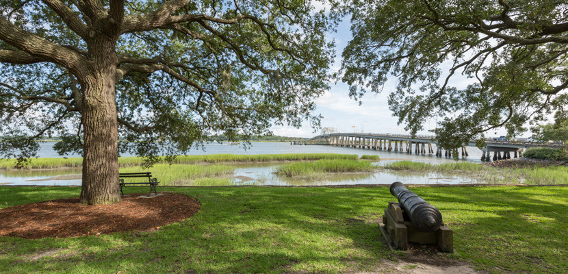
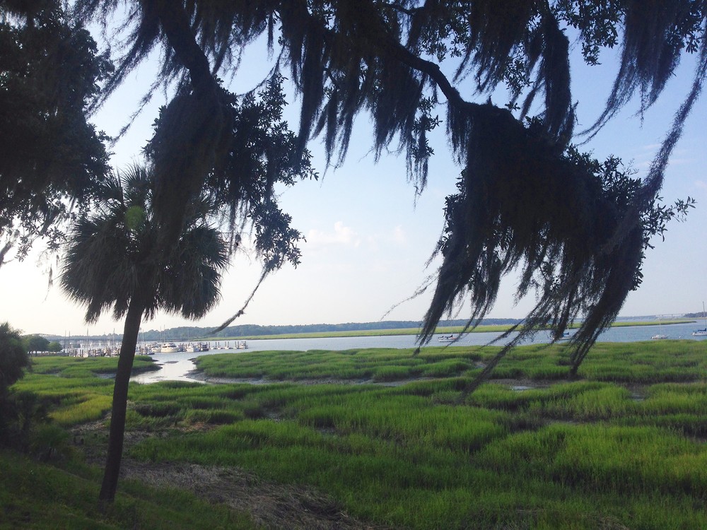
This paddling trail follows the Beaufort River, connecting the two historic cities of Beaufort and Port Royal, SC. Paddle past vast salt marsh and numerous historical coastal sites. 

Access
Put in:
Port Royal Public Landing
Take out:
Lady's Island Public Landing
Trip Details

This trip is best run one way on a falling or rising tide, or up and back on the rising and falling tides. If you are paddling from Port Royal to Beaufort, you want to find a rising tide; from Beaufort to Port Royal, a falling tide. 

Hazards that may be encountered include open water, wind-generated waves, strong tidal currents, large vessels using the Intracoastal Waterway, and summertime heat and thunderstorms.

Be aware of weather conditions. Up to the minute forecasts should be consulted before beginning this trip. Strong winds should be avoided.

Comments (0)

Please Sign In or Create Account to add your photo to this trip
(Credit: Town of Beaufort, SC)
Trip Resources
Download map files for your own use. Learn more
Today's Tides
Station: BEAUFORT, SC
X Close
Skill Level
Easy
Moderate
Difficult
Advanced
Learn more
X Close
Flow Level
Runnable
Above Runnable
Below Runnable
No Information
Learn more
X Close
Skill & Flow Level
Easy
Moderate
Difficult
Advanced
Runnable
Above Runnable
Below Runnable
No Information
X Close
Access Amenities
Parking - Dedicated Lot
Parking - Roadside
Restroom / Toilets
Fee Required
Handicap Accessible
Camping
Paddle SC is presented by
Upstate Forever
South Carolina Department of Natural Resources
South Carolina National Heritage Corridor
Rainey Foundation