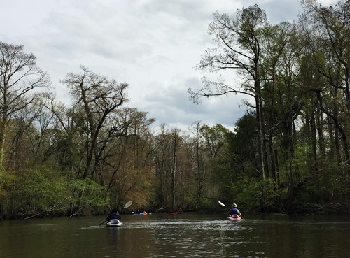
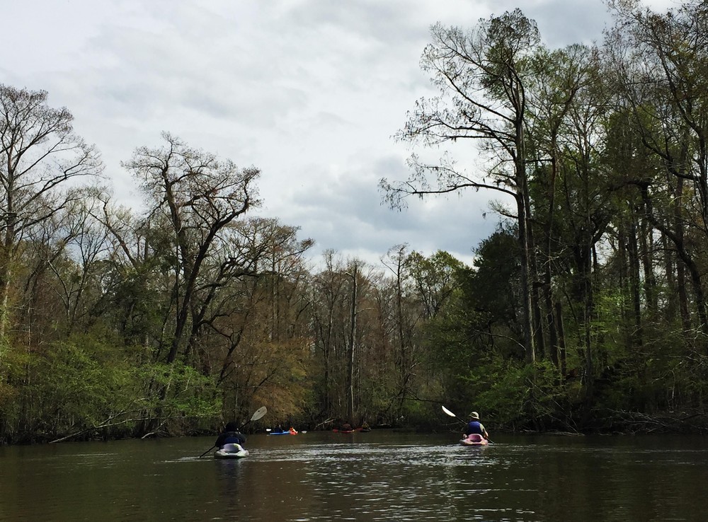
This trip is a part of the SC Revolutionary Rivers Water Trail, a National Recreation Trail. Paddle through the black water, cypress-lined banks of the Lynches River and Mill Creek. The SC Revolutionary Rivers Trail offers paddlers an unique experience of floating through the scenic swampland that was once traversed by Patriots engaged in guerrilla warfare against the Loyalists. General Francis Marion's militia, mounted on sure-footed Marsh Tacky horses were able to navigate through the region, leaving the Loyalists far behind.
A picnic shelter, picnic tables, and interpretive information are available at this launch.
The confluence of Muddy Creek and Mill Creek create Snow Lake. The landing includes a boat launch and limited, but dedicated parking.
This trip starts at Venters Landing, just north of Johnsonville, on the Lynches River, where you will paddle down through the swampy blackwater that splits off into multiple creeks, including Mill Creek and Clark's Creek. You will take Mill Creek to the south.
Snow's Island, near the take-out at Snow's Lake, is on the National Register of Historic Places because of it's significant role as a critical revolutionary war campsite for General Marion.
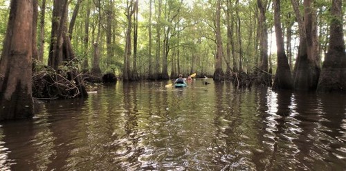
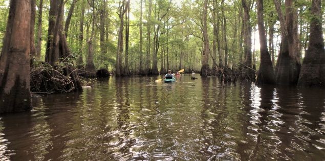
This section of the trail could be difficult to navigate at high water due to multiple channels through the swampy lowlands. It is recommended that you download the GPX data for your GPS if navigating this trip for the first time, especially during high water levels. If you are interested in a guided trip down this section of river, the SC Revolutionary Rivers map has outfitters listed.


Comments (0)