Paddle SC
Camping Fee Required Handicap Accesible Parking- Dedicated Lot Roadside Parking Restrooms / Toilets

Lynches River: Half Moon Landing to Snow's Lake

Scroll down for more details
Legend
Hide All

Lynches River: Half Moon Landing to Snow's Lake

Skill Level: Moderate
Loading 
Rapids: None
Length: 21.00 miles
Duration: 10 - 14 hours
Portaging: No
What to Expect

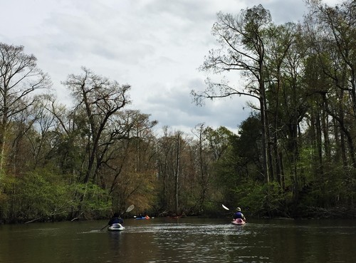
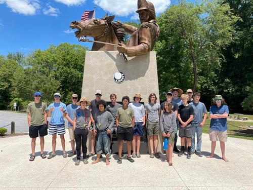
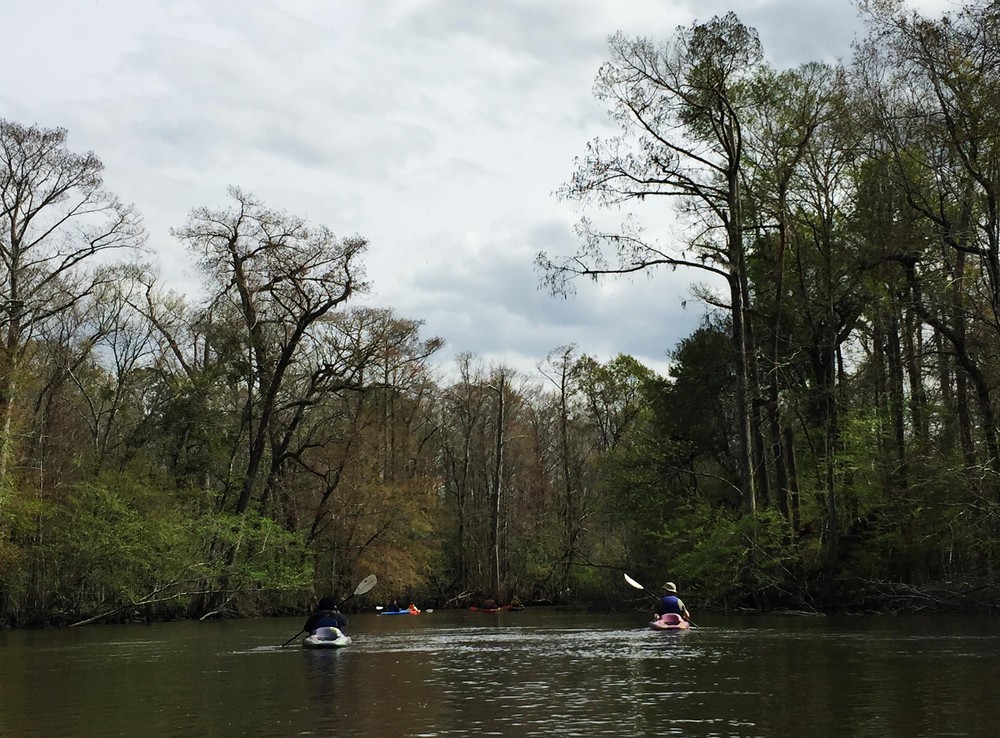
This trip is a part of the SC Revolutionary Rivers Water Trail, a National Recreation Trail. This overnight trip will have you paddle through the black water, cypress-lined banks of the Lynches River and Mill Creek, and camping in the middle of Revolutionary War history. The area was once traversed by Patriots engaged in guerrilla warfare against the Loyalists. General Francis Marion's militia, mounted on sure-footed Marsh Tacky horses were able to navigate through the region, leaving the Loyalists far behind.

Access
Put in:
Half Moon Landing
Access Details

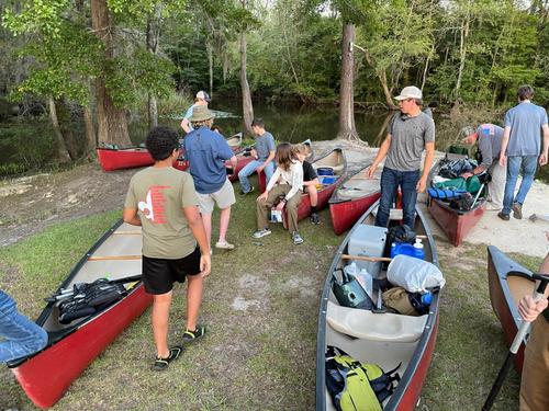
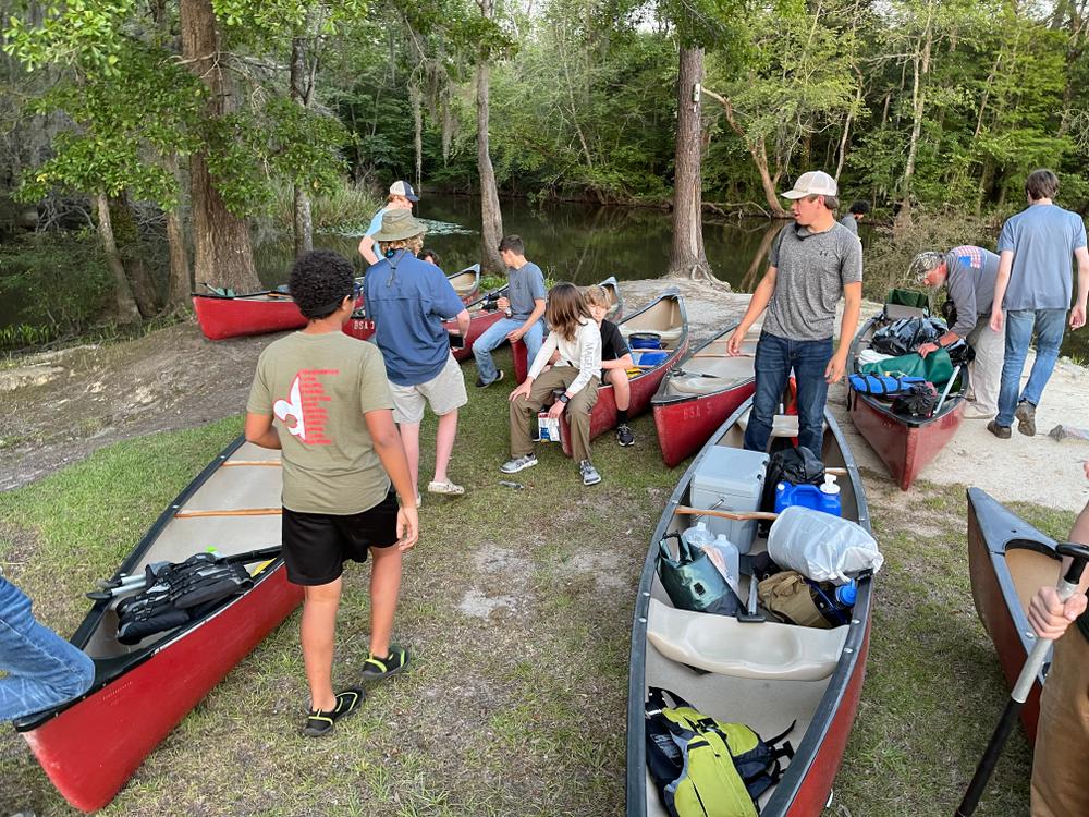
Small concrete boat launch, designated parking, and a picnic table are available. 

Take out:
Snow's Lake Landing
Access Details

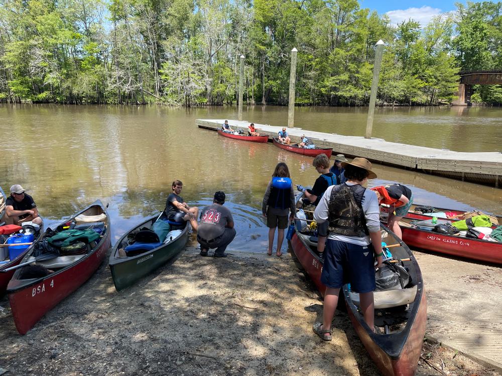
The confluence of Muddy Creek and Mill Creek create Snow Lake. The landing includes a boat launch and limited, but dedicated parking. 

Trip Details

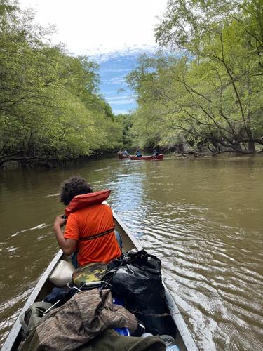
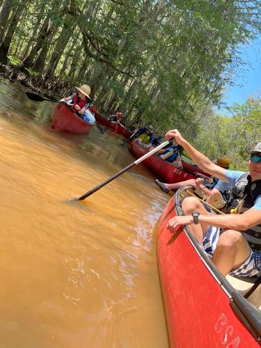
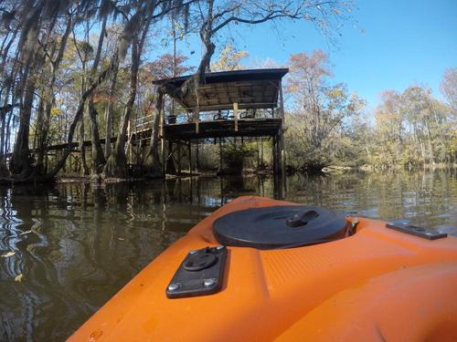
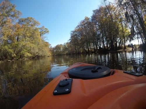
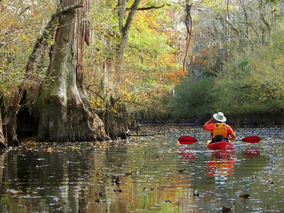
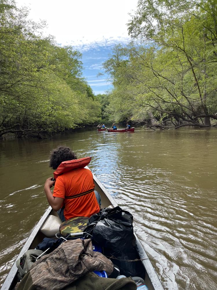
This trip starts at Half Moon Landing on the Lynches River, where you will paddle down through the swampy blackwater that splits off into multiple creeks, including Mill Creek and Clark's Creek. This trip is best completed as an overnight. Camping in the swamp requires finding high ground, and is best in the season when mosquitoes are gone. 

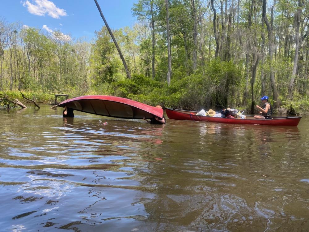
This section of the trail could be difficult to navigate at high water due to multiple channels through the swampy lowlands. It is recommended that you download the GPX data for your GPS if navigating this trip for the first time, especially during high water levels. If you are interested in a guided trip down this section of river, the SC Revolutionary Rivers map has outfitters listed. 

Waterway: 

Comments (2)

Please Sign In or Create Account to add your photo to this trip
Wayne Schaefer
Nov 15, 2021 5:28 pm EST
Launched from Half Moon Landing. Being by myself I'm usually doing an out and back trip. I headed up stream from the landing. Water level at Hwy 52 was 2.75 ft. The trail becomes difficult to see a couple of times but once you get through the trees the paddle isn't too bad. I went up to New landing, stopped for a snack and returned to Half Moon Landing. My tracker registered a total of nine miles and 3 hours and 35 minutes of paddle time. Missed the trail one time on the way back and had to back track a little bit to find a spot through the trees wide enough for the kayak to fit. All things considered it was a great trip but not recommended for a beginner paddler.
Brian Rudick
May 17, 2021 7:14 am EDT
BSA Troop 523 (Hartsville) did this trip this past weekend (May 14-16, 2021). What a great trip! We camped at Half Moon Landing on Friday night. Not much room there but we managed to find places for 16 scouts and 5 leaders. Thanks to the Florence County Sheriff's Office and DNR for checking on us and our vehicles over the weekend. We dropped all of the boats and gear at Half Moon and then shuttled the church bus and two trucks with canoe racks down to Snow Lake (40 min round triip). We were on the water Saturday morning by 7:45am. The first part of the river is quite easy to follow. The flow was nice and the scenery was incredible. We stopped for a break and some snacks at a few of the smaller landings on the way. For lunch we stopped at Venter's Landing. Great place to pull out and have lunch in the covered picnic area. Once back on the river it gets much more narrow and shallow. We had to get out and walk the boats in a few spots. We spent the night near Persimmon Bluff Landing on some private property (off the water by 4:30). Sunday we were on the water by 8:30. Hells Gate is no joke. We had to portage twice. The channel disappears into a cypress knee flat. Its only about 1/2 mile long but its tricky. There are also two turns to get into Muddy Creek which leads to Snow Lake. Without a GPS or Smart phone we probably would have missed the turns. Plan carefully. On Muddy Creek there are several dead falls that block the way. We had to portage over one and the others were were able to either pick our way around (one boat at a time) or plow through the limbs! The end of the trip (down Muddy Creek) despite the dead falls and pretty swift flow, was the most beautiful of the trip. The landing at Snow Lake is small but usable. We were off of the water by 11:00. Overall this is one of the best canoe trips we have had but its not for the weekend warrior or the unprepared.
Please Sign In or Create Account to add your photo to this trip
(Credit: Barry Frick, Riverrats Outfitters)
(Credit: Florence CVB)
Scouts from Troop 523 (Hartsville) stopping at Venters Landing for lunch
Scouts from Troop 523 ready to launch at Half Moon Landing!
Scouts from Troop 523 stop for a photo op at the Francis Marion statue at Venters Landing
Leadership at its best! One of the scout leaders demonstrating how to unswamp a canoe (unplanned demo :-)
Private Pier at New Landing (Credit: Wayne Schaefer)
Leaving New Landing (Credit: Wayne Schaefer)
Trip Resources
Download map files for your own use. Learn more
River Flow (CFS)
Discharge flow information
CURRENT CFS
Flows for safe padding (cfs)
MINIMUM
--
MAXIMUM
--
X Close
Skill Level
Easy
Moderate
Difficult
Advanced
Learn more
X Close
Flow Level
Runnable
Above Runnable
Below Runnable
No Information
Learn more
X Close
Skill & Flow Level
Easy
Moderate
Difficult
Advanced
Runnable
Above Runnable
Below Runnable
No Information
X Close
Access Amenities
Parking - Dedicated Lot
Parking - Roadside
Restroom / Toilets
Fee Required
Handicap Accessible
Camping
Paddle SC is presented by
Upstate Forever
South Carolina Department of Natural Resources
South Carolina National Heritage Corridor
Rainey Foundation