Paddle SC
Camping Fee Required Handicap Accesible Parking- Dedicated Lot Roadside Parking Restrooms / Toilets

Edisto River: Mars Old Field Landing to Givhans Ferry SP

Scroll down for more details
Legend
Hide All

Edisto River: Mars Old Field Landing to Givhans Ferry SP

Skill Level: Easy
Loading 
Rapids: None
Length: 6.40 miles
Duration: 2 - 4 hours
Portaging: No
What to Expect

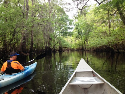
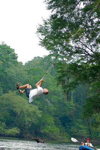
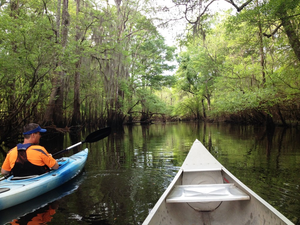
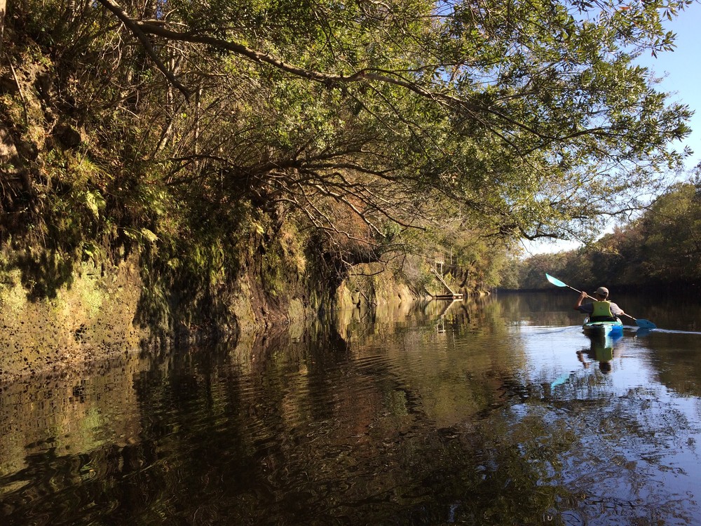
Rural paddle on South Carolina's Edisto River, one of the longest free-flowing blackwater rivers in North America. The Edisto is a quintessential blackwater river.

Access
Put in:
Mars Old Field Landing
Access Details

Public motor boat ramp with lots of parking. Visit the SC DNR website for more information.

Take out:
Givhans Ferry State Park
Access Details

Hand carry boat launch at Givhans Ferry State Park. Fee required to use the state park. Check website for details about hours of operation and fees. Public restrooms and park store are available. 

Trip Details

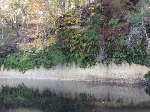
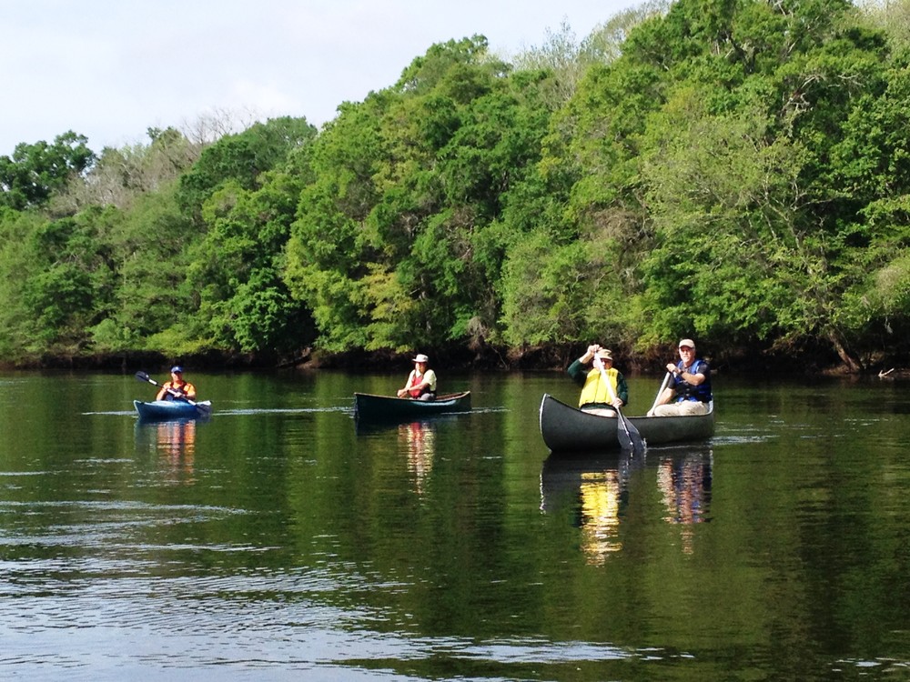
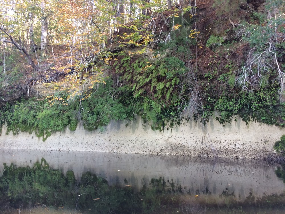
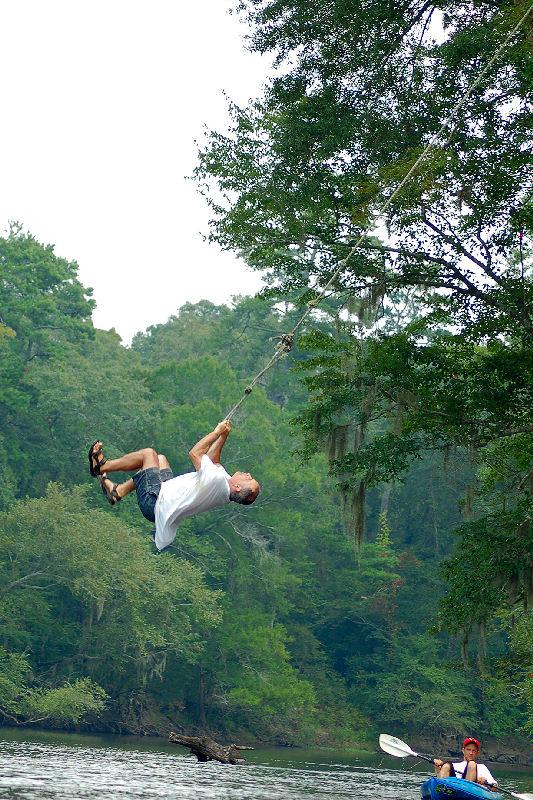
This segment is noted for the drastic change in overall direction of the river.  During the last mile or so of this route, paddlers will encounter amazing bluffs on river left.  This topography, formed from geologic processes millions of years in the making, forces the river to make a ninety degree turn from due east to due south.  Givhans Ferry State Park is located high on these bluffs on river left at the take out.  The river’s confluence with Four Holes Swamp at a little over 4 miles along this route provides a side trip for those with energy remaining to paddle upstream!  During summer weekends especially, tubers may be encountered floating this stretch of the river.

Waterway: 

Comments (1)

Please Sign In or Create Account to add your photo to this trip
Crystal Dahlia
Mar 22, 2020 12:59 pm EDT
River was up at least three feet more than normal due to recent flooding but trip was relaxing and fun. Quite a few boats out but all were courteous to slow when we came in sight. Givhans was closed so we pulled out at Huckleberry Hill and had a great ending to a social distancing day. Came across a gorgeous owl.
Please Sign In or Create Account to add your photo to this trip
Four Hole Swamp Confluence (Credit: Eric Davis, Dorchester County)
Paddling past a bluff exposure of marl (a limestone & clay rock unit).  (Credit: Tanner Arrington)
(Credit: Eric Davis, Dorchester County)
Marl outcrop. (Credit: Tanner Arrington)
Huckleberry Hill Resident at dusk (Credit: C. Dahlia & S. Day)
Rope Swing (Credit: Marc Epting)
Trip Resources
River Flow (FT)
Discharge flow information
CURRENT FT
Flows for safe padding (ft)
MINIMUM
2
MAXIMUM
10
X Close
Skill Level
Easy
Moderate
Difficult
Advanced
Learn more
X Close
Flow Level
Runnable
Above Runnable
Below Runnable
No Information
Learn more
X Close
Skill & Flow Level
Easy
Moderate
Difficult
Advanced
Runnable
Above Runnable
Below Runnable
No Information
X Close
Access Amenities
Parking - Dedicated Lot
Parking - Roadside
Restroom / Toilets
Fee Required
Handicap Accessible
Camping
Paddle SC is presented by
Upstate Forever
South Carolina Department of Natural Resources
South Carolina National Heritage Corridor
Rainey Foundation