Paddle SC
Camping Fee Required Handicap Accesible Parking- Dedicated Lot Roadside Parking Restrooms / Toilets

ACE Basin (Coastal): Sugar Hill Landing

Scroll down for more details
Legend
Hide All

ACE Basin (Coastal): Sugar Hill Landing

Skill Level: Easy
Flow Level No Information
Rapids: None
Length: 1.00 miles
Duration: 1 - 5 hours
Portaging: No
What to Expect

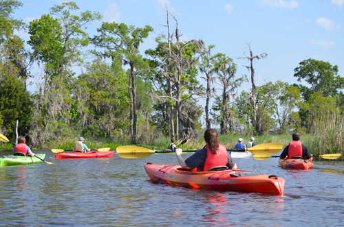
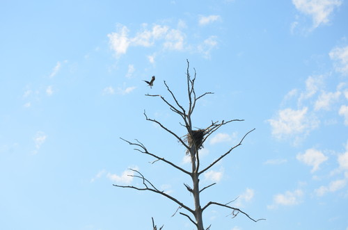
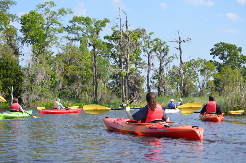
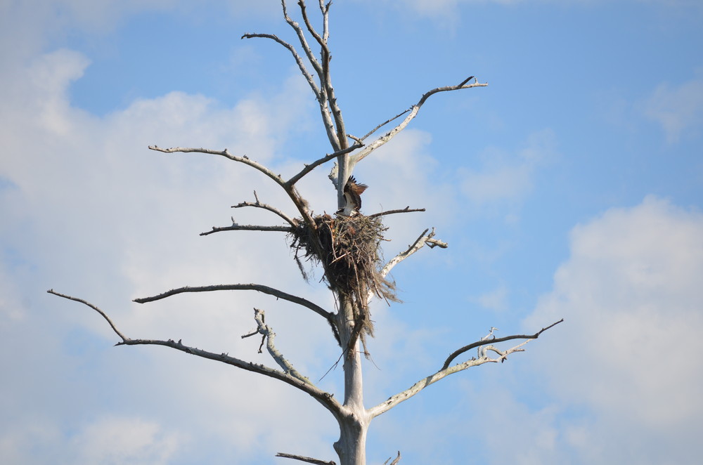
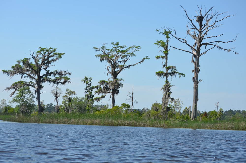
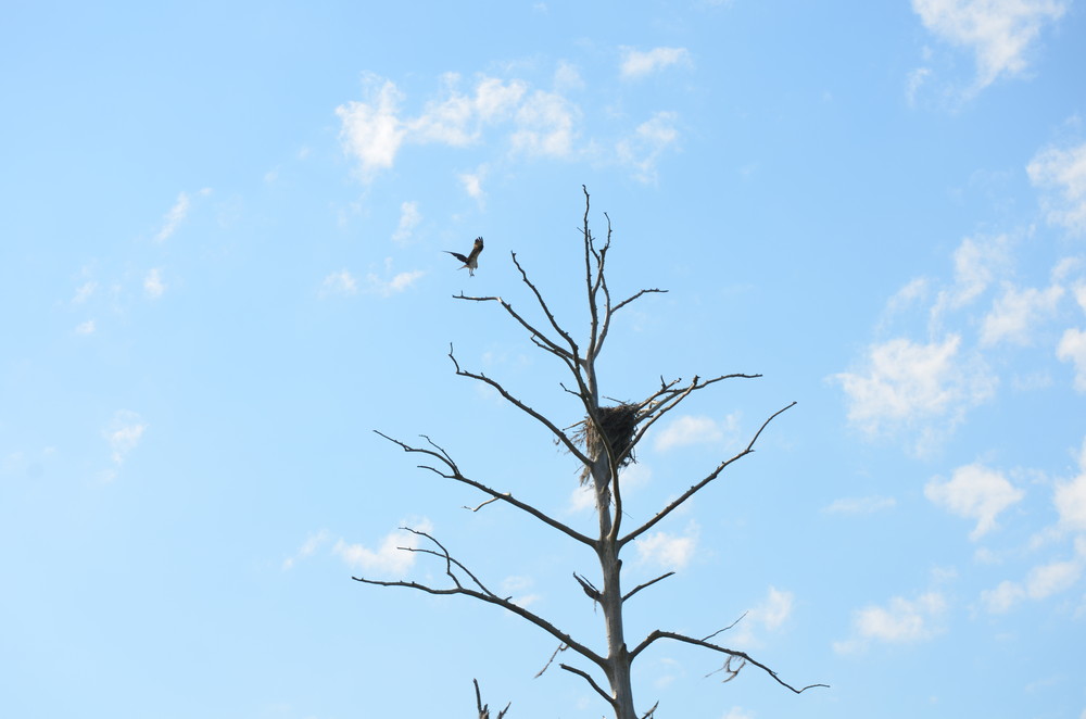
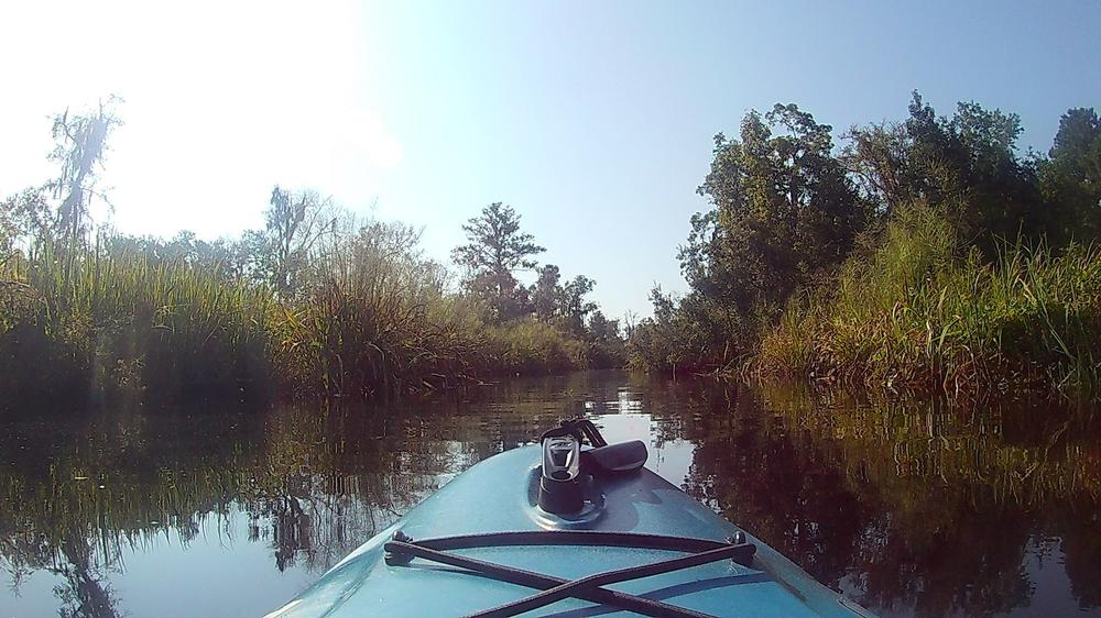
This kayak trail follows Sugar Hill Creek to the Combahee River, along the way passing signs of the former rice culture, a botanically-rich ecosystem, birds and maybe even an alligator. 

Access
Put in:
Sugar Hill Landing
Access Details

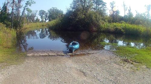
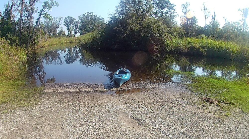
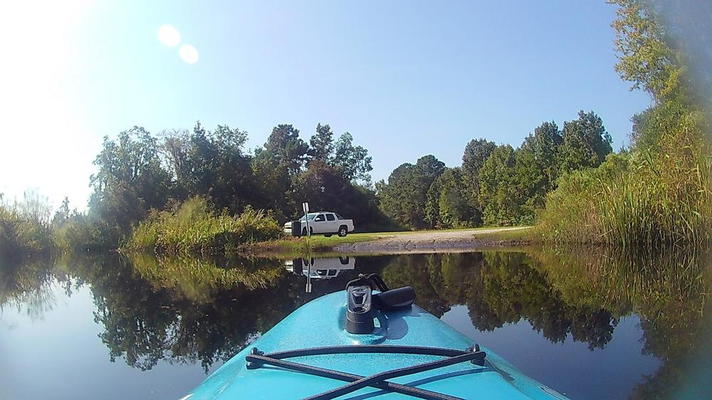
Lots of parking, no amenities. 

Trip Details

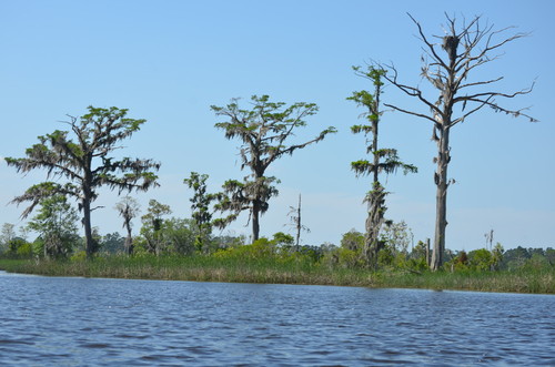
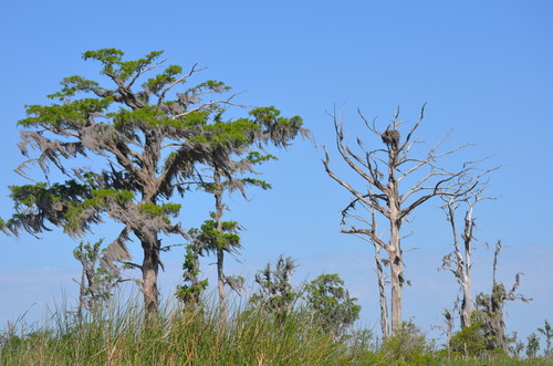
Once to the Combahee River, you can extend your paddle by going up or downstream, or across the river to abandoned rice fields. The old rice fields along the Combahee provide renowned wildlife and bird habitat. 

Tides this far up in the ACE Basin are small but still need to be considered. Sugar Hill Creek can be shallow at low tide. It is suggested that your trip be timed around the high tide.

Depending on how you extend your trip beyond Sugar Hill Creek, difficulty and hazards may increase. Hazards that may be encountered include open water on the Combahee River, wind-generated waves, tidal currents, motorized boats, and summertime heat and thunderstorms.

This trip is brought to you by Beaufort Blueways

Waterway: 

Comments (1)

Please Sign In or Create Account to add your photo to this trip
Zach Millsap
Jul 25, 2018 10:25 am EDT
Me and a friend began at public landing near Yemassee and fallowed the river to the us 17 boat launch. Things to look out for are local motor boats and the tides. The other boat traffic tends to not pay any attention to non motorized water craft. the other thing to consider is the tides. If you do not begin at the right time it would be easy to go the wrong direction because of the tide coming in.
Please Sign In or Create Account to add your photo to this trip
(Credit: Todd Betlem)
Osprey nest (Credit: Todd Betlem)
(Credit: Todd Betlem)
Osprey (Credit: Todd Betlem)
Trip Resources
Download map files for your own use. Learn more
Today's Tides
X Close
Skill Level
Easy
Moderate
Difficult
Advanced
Learn more
X Close
Flow Level
Runnable
Above Runnable
Below Runnable
No Information
Learn more
X Close
Skill & Flow Level
Easy
Moderate
Difficult
Advanced
Runnable
Above Runnable
Below Runnable
No Information
X Close
Access Amenities
Parking - Dedicated Lot
Parking - Roadside
Restroom / Toilets
Fee Required
Handicap Accessible
Camping
Paddle SC is presented by
Upstate Forever
South Carolina Department of Natural Resources
South Carolina National Heritage Corridor
Rainey Foundation